Auburn in Androscoggin County, Maine — The American Northeast (New England)
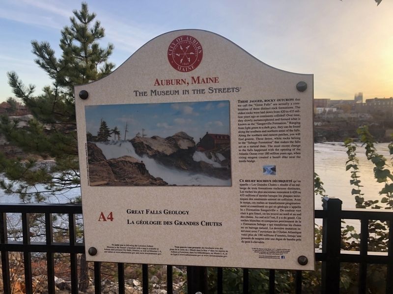
Great Falls Geology / La Géologie des Grandes Chutes
Auburn, Maine
— The Museum in the Streets® —

Photographed By Devry Becker Jones (CC0), November 11, 2021
1. Great Falls Geology / La Géologie des Grandes Chutes Marker
These jagged, rocky outcrops that we call the "Great Falls" are actually a combination of three distinct rock formations. The oldest rocks were laid down from 20 to 435 million years ago as continents collided! Over time, they slowly metamorphosed and formed what is known as the "Sangerville Formation." Ranging from light green to a dark grey, they can be found along the southern and northern areas of the falls. Along the southern and northern areas of the falls. Along the southern and eastern patches, you will find granite. These dense, white rocks belong to the "Sebago Formation" that makes the falls act as a natural dam. the most recent change to the falls happened with the opening of the Atlantic Ocean over 180 million years ago, when rising magma created a basalt dike near the trestle bridge.
Erected 2019 by The Museum in the Streets®. (Marker Number A4.)
Topics and series. This historical marker is listed in these topic lists: Natural Features • Waterways & Vessels. In addition, it is included in the The Museum in the Streets®: Auburn-Lewiston, Maine series list.
Location. 44° 5.931′ N, 70° 13.447′ W. Marker is in Auburn, Maine, in Androscoggin County. Marker is on Auburn Riverwalk, 0.2 miles Court Street (U.S. 202), on the right when traveling north. Touch for map. Marker is at or near this postal address: 47 Waterville Rd, Auburn ME 04210, United States of America. Touch for directions.
Other nearby markers. At least 8 other markers are within walking distance of this marker. Maine's Loss of Farmland & Rise of Small Farms (within shouting distance of this marker); Auburn, Maine (within shouting distance of this marker);

Photographed By Devry Becker Jones (CC0), November 11, 2021
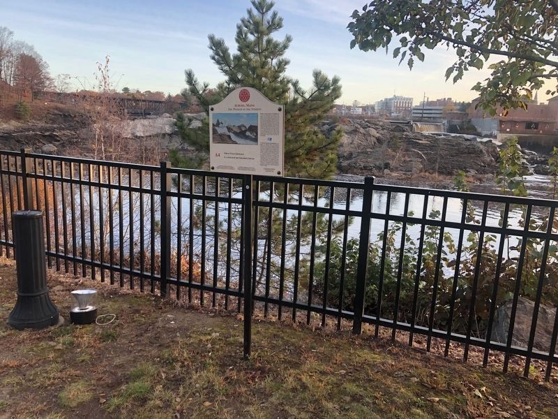
2. Great Falls Geology / La Géologie des Grandes Chutes Marker
Additional commentary.
1. Inclusion of the marker in the database
While this is a nature marker and would not otherwise qualify for the database, it has been included as part of the series for the Auburn-Lewiston Museum in the Streets® series.
— Submitted November 16, 2021, by Devry Becker Jones of Washington, District of Columbia.
Credits. This page was last revised on November 16, 2021. It was originally submitted on November 16, 2021, by Devry Becker Jones of Washington, District of Columbia. This page has been viewed 157 times since then and 6 times this year. Photos: 1, 2. submitted on November 16, 2021, by Devry Becker Jones of Washington, District of Columbia.