Auburn in Androscoggin County, Maine — The American Northeast (New England)
Androscoggin Log Drives
⎯⎯⎯
Les Draves Sur L'Androscoggin
Auburn, Maine
| — | The Museum in the Streets | — |

Photographed by Devry Becker Jones (CC0), November 11, 2021
1. Androscoggin Log Drives / Les Draves Sur L'Androscoggin Marker

Rivers were the transportation and power for Maine's logging industry from the first sawmill in 1630 in Berwick until 1974. Lewiston's first sawmills were located near the Great Falls. Throughout the year, hardy loggers cut the trees upstream and stacked them on the riverbanks. Logging was a dangerous profession — loggers cut with handsaws and axes, and they used horses and oxen to haul the logs. During the spring floods, the logs were dumped into the river and carried downstream, guided by river men with long poles, spiked boots for traction, and bateaux (flat-bottomed boats). Booms across the river then captured the logs so they could be separated. Some went to sawmills; some became pulp in paper mills. The last log drive on the Androscoggin was in 1962.
this page online
Erected 2019 by The Museum in the Streets. (Marker Number A1.)
Topics and series. This historical marker is listed in these topic lists: Colonial Era • Horticulture & Forestry • Industry & Commerce • Waterways & Vessels. In addition, it is included in the The Museum in the Streets: Auburn-Lewiston, Maine series list. A significant historical year for this entry is 1630.
Location. 44° 6.024′ N, 70° 13.38′ W. Marker is in Auburn, Maine, in Androscoggin County. It is on Auburn Riverwalk 0.1 miles north of Great Falls Plaza, on the left when traveling east.
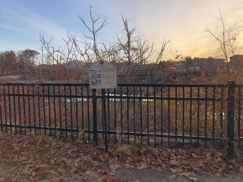
Photographed by Devry Becker Jones (CC0), November 11, 2021
2. Androscoggin Log Drives / Les Draves Sur L'Androscoggin Marker

Regionally, this marker is in the American Northeast and in New England. Globally, it is in North America, the Western Hemisphere, the Western World, and the Anglosphere.
Other nearby markers. At least 8 other markers are within walking distance of this marker: Knight House / La Maison Knight (about 400 feet away, measured in a direct line); The Knight House (about 400 feet away); Hydroelectric Power / L'Énergie Hydraulique (about 500 feet away); Auburn, Maine (about 500 feet away); Great Falls Geology / La Géologie des Grandes Chutes (about 600 feet away); Maine's Loss of Farmland & Rise of Small Farms (about 800 feet away); Amitgonpontook (approx. 0.2 miles away); Vietnam Wall (approx. 0.2 miles away). Touch for a list and map of all markers in Auburn.
Credits. This page was last revised on February 12, 2026. It was originally submitted on November 16, 2021, by Devry Becker Jones of Washington, District of Columbia. This page has been viewed 772 times since then and 58 times this year. Photos: 1, 2. submitted on November 16, 2021, by Devry Becker Jones of Washington, District of Columbia.
