South Valley in Bernalillo County, New Mexico — The American Mountains (Southwest)
River Crossing
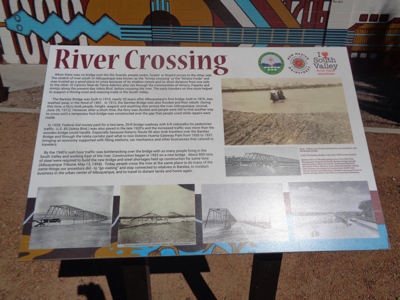
The Barelas Bridge was built in 1910, nearly 20 years after Albuquerque's first bridge, built in 1876, was washed away in the flood of 1891. In 1912, the Barelas Bridge was also flooded and then rebuilt. During this time, a ferry took people, freight, wagons and anything else across the river (Albuquerque Journal, June 29, 1912). However, after a short time, the ferry was docked and people were left to find another way to cross until a temporary foot bridge was constructed over the gap that people used while repairs were made.
In 1928, Federal Aid money paid for a two-lane, 20-ft bridge roadway with 6-ft sidewalks for pedestrian traffic. U.S. 85 (Isleta Blvd.) was also paved in the late 1920's and the increased traffic was more than the wooded bridge could handle. Especially because historic Route 66 also took travelers over the Barelas Bridge and through the Isleta corridor past what is now Dolores Huerta Gateway Park from 1926 to 1937, bringing an economy supported with filling stations, car mechanics and other businesses that catered to travelers.
By the 1940's rush hour traffic was bottlenecking over the bridge with so many people living in the South Valley and working East of the river. Construction began in 1953 on a new bridge. About 800 tons of steel were required to build the new bridge and steel shortages held up construction for some time (Albuquerque Tribune, May 13, 1954). Today, people cross the river at the same place to do many of the same things our ancestors did - to "go visiting" and stay connected to relatives in Barelas, to conduct business in the urban center of Albuquerque, and to travel to distant lands and home again.
Erected by Bernalillo County, New Mexico Mainstreet and South Valley MainStreet.
Topics and series. This historical marker is listed in these topic lists: Bridges & Viaducts • Industry & Commerce • Roads & Vehicles • Waterways & Vessels. In addition, it is included in the U.S. Route 66 series list. A significant historical date for this entry is May 13, 1910.
Location. 35° 4.102′
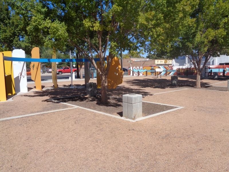
N, 106° 39.954′ W. Marker is in South Valley, New Mexico, in Bernalillo County. Marker can be reached from the intersection of Bridge Boulevard Southwest (New Mexico Route 314) and Isleta Boulevard SW (New Mexico Route 314). Marker is located at Dolores Huerta Gateway Park. Touch for map. Marker is at or near this postal address: 100 Isleta Blvd SW, Albuquerque NM 87105, United States of America. Touch for directions.
Other nearby markers. At least 8 other markers are within 2 miles of this marker, measured as the crow flies. Dolores Huerta (about 300 feet away, measured in a direct line); Cultural Lifeways (about 400 feet away); Acequia Culture (about 600 feet away); La Doctora María Dolores Gonzáles (approx. 0.7 miles away); Old Armijo School (approx. 0.9 miles away); Graciela Olivárez (approx. 1.1 miles away); First United Methodist Church Albuquerque (approx. 1.2 miles away); Hudson House (approx. 1.2 miles away). Touch for a list and map of all markers in South Valley.
Credits. This page was last revised on November 17, 2021. It was originally submitted on November 17, 2021, by Jason Voigt of Glen Carbon, Illinois. This page has been viewed 605 times since then and 75 times this year. Photos: 1, 2. submitted on November 17, 2021, by Jason Voigt of Glen Carbon, Illinois.

