Bristol in Bristol County, Rhode Island — The American Northeast (New England)
Early Bristol 17th Century Beginnings
Sowam's Heritage Area
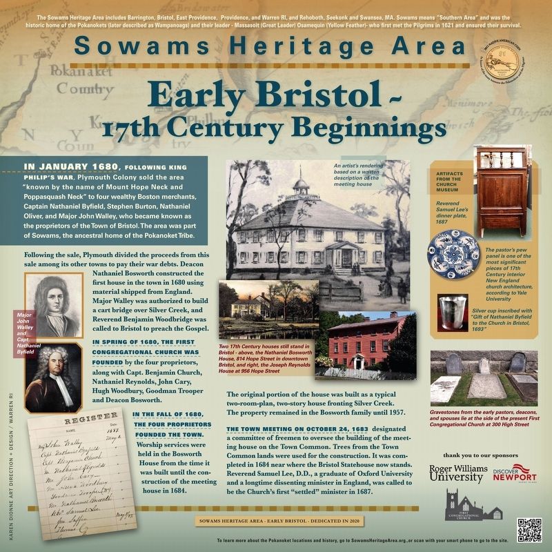
In January 1680, following King Philip’s War, Plymouth Colony sold the area “known by the name of Mount Hope Neck and Poppasquash Neck”, which was part of Sowams, the ancestral home of the Pokanoket Tribe. Following the sale, four wealthy Boston merchants, Nathaniel Byfield, Stephen Burton, Nathaniel Oliver, and John Walley, became known as the proprietors of the Town of Bristol. Plymouth divided the proceeds from this sale among its other towns to pay their war debts.
Deacon Nathaniel Bosworth constructed the first house in the town in 1680-81 using material shipped over from England. John Walley was authorized to build a cart bridge over Silver Creek, and Reverend Benjamin Woodbridge was brought to Bristol to preach the Gospel.
Religious services for members of the First Congregational Church were held in the Bosworth house shortly after it was built. The Bosworth House was built as a typical two-room-plan, two-story house; today, the oldest portion consists of a single room on each of two floors. The property remained in the Bosworth family until 1957.
The town meeting on October 24, 1683, designated a committee of freemen to oversee the building of the meetinghouse on the Town Common. The timbers for the meetinghouse were to be taken from trees felled by clearing the Town Common lands. It was completed in 1684 on a site near where the Bristol Statehouse currently stands. An artist’s rendering based on a written description of the meeting house is shown to the right.
Sufficient money was not allotted for finishing the interior of the meetinghouse, so individual congregants were permitted to construct their own pew boxes on the floor of the church at their own expense. Reverend Samuel Lee, D.D., a graduate of Oxford University and a long dissenting minister in England, was called to be the Church’s first “settled” minister in 1687.
Erected 2021 by Roger Williams University; Discover Newport, Rhode Island; First Congregational Church.
Topics. This historical marker is listed in these topic lists: Architecture • Churches & Religion • Colonial Era • Native Americans. A significant historical year for this entry is 1680.
Location. 41° 40.314′ N, 71° 16.45′ W. Marker is in Bristol, Rhode Island, in Bristol County. Marker is on High Street just north of Congregational Street, on the right when traveling north. Touch for map. Marker is at or near this postal address: 282 High St, Bristol RI 02809, United States of America. Touch for directions.
Other nearby markers. At least 8 other markers are within walking distance of this marker. First Congregational Church (within shouting distance of this marker); Smith House (about 400 feet away, measured in a direct line); Rhode Island Slave History
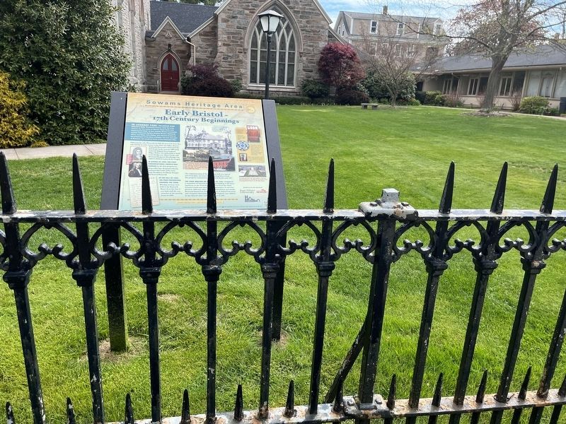
Regarding Early Bristol 17th Century Beginnings. The marker details the 17th century beginnings of the Town of Bristol on land taken from the Pokanoket Tribe in 1680.
Additional commentary.
1. Photos
I took all of the photos. The other graphics are in the public domain. You can see a wide shot of the location at http://drweed.net/EarlyBristolC.jpg
— Submitted December 17, 2021, by David Weed of Warren, Rhode Island.
Credits. This page was last revised on May 9, 2023. It was originally submitted on November 18, 2021, by David Weed of Warren, Rhode Island. This page has been viewed 340 times since then and 43 times this year. Photos: 1. submitted on November 18, 2021, by David Weed of Warren, Rhode Island. 2. submitted on May 9, 2023, by Devry Becker Jones of Washington, District of Columbia. • Devry Becker Jones was the editor who published this page.
Editor’s want-list for this marker. A better photo of the marker. • Can you help?

