Near Arcadia in Carroll County, Iowa — The American Midwest (Upper Plains)
Influence of Railroads and Elevation
Union Pacific Railroad in Iowa
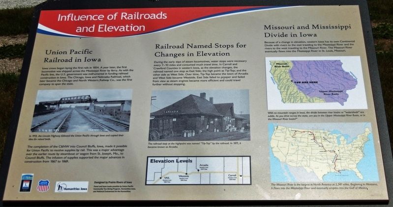
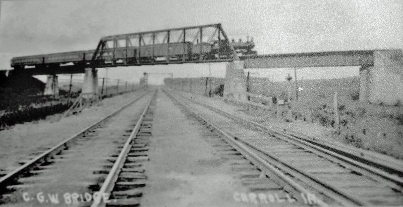
Iowa crews began laying the first rails in 1854. A year later, the first locomotive was shipped across the Mississippi River by ferry. As with the Pacific line, the U.S. government was instrumental in funding railroad construction in Iowa. The Chicago, Iowa and Nebraska Railroad, which later became the Chicago and North Western Railway Co., was the first company to span the state.
The completion of the C&NW into Council Bluffs, Iowa, made it possible for Union Pacific to receive supplies by rail. This was a major advantage over the earlier route by steamboat or wagon from St. Joseph, Mo., to Council Bluffs. The infusion of supplies supported the major advances in construction from 1867 to 1869.
Railroad Named Stops for Changes in Elevation
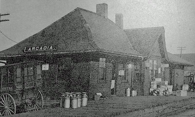
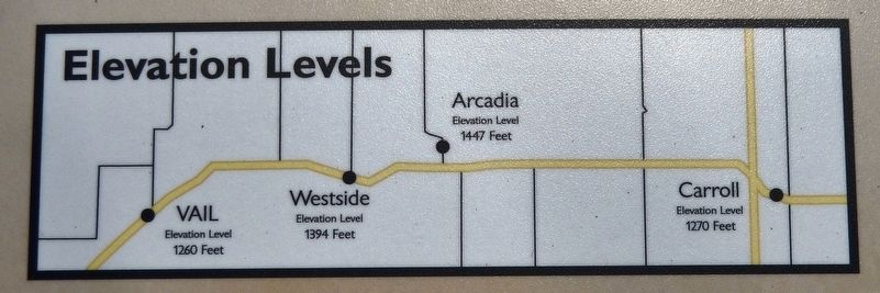
During the early days of steam locomotives, water stops were necessary every 7-10 miles and consumed much travel time. In Carroll and Crawford Counties in western Iowa, as the elevation changes, the railroad named one stop as East Side; the high point as Tip-Top; and the other side as West Side. Over time, Tip-Top became the town of Arcadia and West Side became Westside. East Side failed to prosper and faded from view as steam engines became more efficient and could travel further without stopping.
Missouri and Mississippi Divide in Iowa
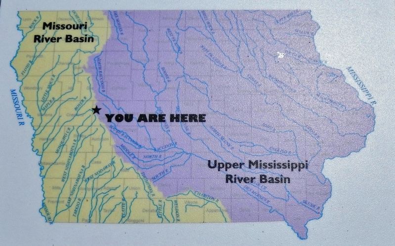
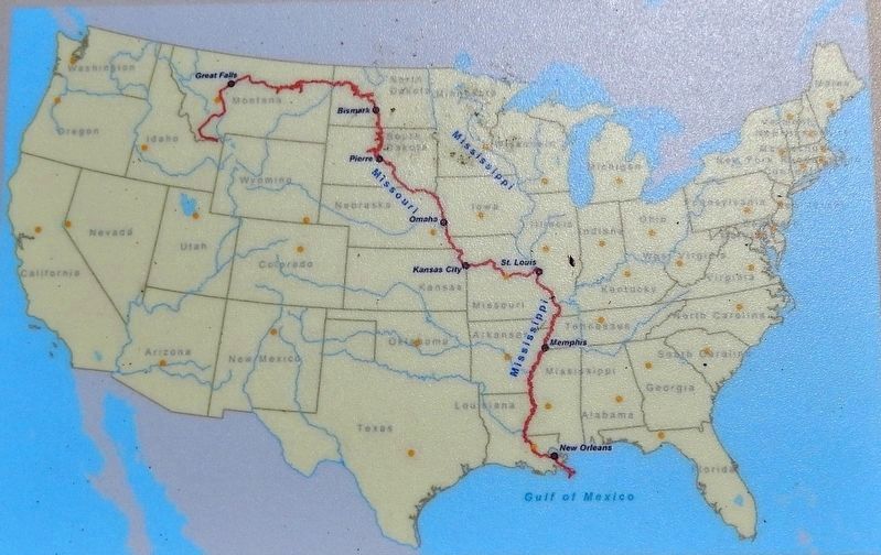
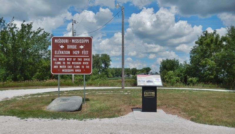
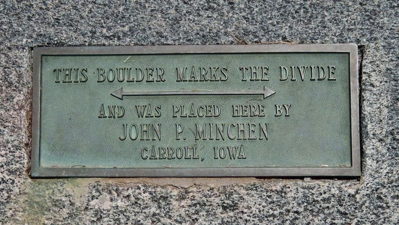
Because of a change in elevation, western Iowa has its own Continental Divide with rivers to the east traveling to the Mississippi River and the rivers to the west traveling to the Missouri River. The Missouri River eventually flows into the Mississippi River in St. Louis, Missouri.
Erected by Lincoln Highway Heritage Byway; Union Pacific; Humanities Iowa; and National Endowment for the Humanities.
Topics and series. This historical marker is listed in these topic lists: Railroads & Streetcars • Roads & Vehicles • Settlements & Settlers • Waterways & Vessels. In addition, it is included in the Lincoln Highway series list. A significant historical year for this entry is 1854.
Location. 42° 4.665′ N, 95° 1.721′ W. Marker is near Arcadia, Iowa, in Carroll County. Marker is on Lincoln Highway (U.S. 30) 0.3 miles east of Delta Avenue (County Road M68), on the left when traveling east. Marker is located in a pull-out on the north side of the highway. Touch for map. Marker is in this post office area: Arcadia IA 51430, United States of America. Touch for directions.
Other nearby markers. At least 8 other markers are within 14 miles of this marker, measured as the crow flies. Lest We Forget (approx. 3.3 miles away); World's War Soldiers (approx. 3.3 miles away); Eugene Kock Memorial Park (approx.
3½ miles away); Westside (approx. 3½ miles away); The Miracle Cornfield Landing of 1960 (approx. 8.8 miles away); Manning Freedom Rock Veterans Memorial (approx. 11.9 miles away); Veterans Memorial Wall Manning, Iowa (approx. 11.9 miles away); Slip Scraper (approx. 13.7 miles away).
Credits. This page was last revised on November 19, 2021. It was originally submitted on November 19, 2021, by Cosmos Mariner of Cape Canaveral, Florida. This page has been viewed 402 times since then and 56 times this year. Photos: 1, 2, 3, 4, 5, 6, 7, 8. submitted on November 19, 2021, by Cosmos Mariner of Cape Canaveral, Florida.
