Kennebunk in York County, Maine — The American Northeast (New England)
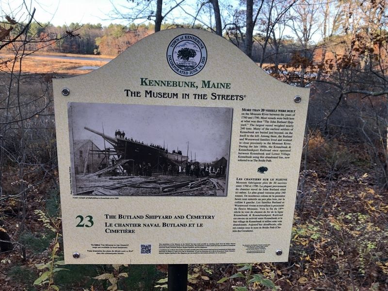
The Butland Shipyard and Cemetery / Le chantier naval Butland et le Cimetière
Kennebunk, Maine
— The Museum in the Streets® —

Photographed By Devry Becker Jones (CC0), November 14, 2021
1. The Butland Shipyard and Cemetery / Le chantier naval Butland et le Cimetière Marker
More than 20 vessls were built on the Mousm River between the years of 1760 and 1790. Most vessels were built here at what was then "The John Butland Shipyard." The largest vessel weighed nearly 240 tons. Many of the earliest settlers of Kennebunk are buried just beyond, on the knoll to the left. Among them, the Butland and Wormwood families lived and worked in close proximity to the Mousam River. During the late 1800s, the Kennebunk & Kennebunkport Railroad once operated between Kennebunk and Lower Village Kennebunk using this abandoned line, now referred to as The Bridle Path.
Erected by The Museum in the Streets®. (Marker Number 23.)
Topics and series. This historical marker is listed in these topic lists: Cemeteries & Burial Sites • Colonial Era • Industry & Commerce • Railroads & Streetcars • Waterways & Vessels. In addition, it is included in the The Museum in the Streets®: Kennebunk, Maine series list. A significant historical year for this entry is 1760.
Location. 43° 21.797′ N, 70° 31.485′ W. Marker is in Kennebunk, Maine, in York County. Marker can be reached from Friendly Pines Lane south of Constitution Road, on the right when traveling east. Touch for map. Marker is at or near this postal address: 25 Constitution Rd, Kennebunk ME 04043, United States of America. Touch for directions.
Other nearby markers. At least 8 other markers are within 2 miles of this marker, measured as the crow flies. The Larrabee Garrison / Le Fort Larrabee (approx. 0.3 miles away); The Landing / The Landing (le quai) (approx. 1.3 miles away); Hugh McCulloch Home / La demeure Hugh McCulloch (approx. 1.3 miles away); The McCulloch House (approx. 1.3 miles away); The Wedding Cake House / La maison du 'Gâteau de Mariage' (approx. 1.3 miles

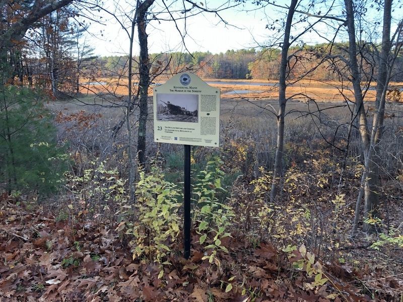
Photographed By Devry Becker Jones (CC0), November 14, 2021
2. The Butland Shipyard and Cemetery / Le chantier naval Butland et le Cimetière Marker
Credits. This page was last revised on November 21, 2021. It was originally submitted on November 21, 2021, by Devry Becker Jones of Washington, District of Columbia. This page has been viewed 206 times since then and 25 times this year. Photos: 1, 2. submitted on November 21, 2021, by Devry Becker Jones of Washington, District of Columbia.