Wells in York County, Maine — The American Northeast (New England)
Water Tower
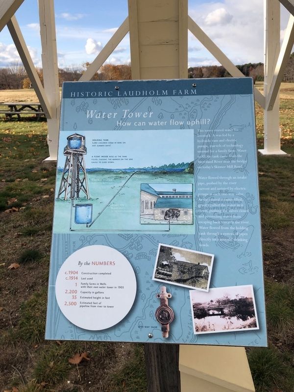
How can water flow uphill?
— Historic Laudholm Farm —
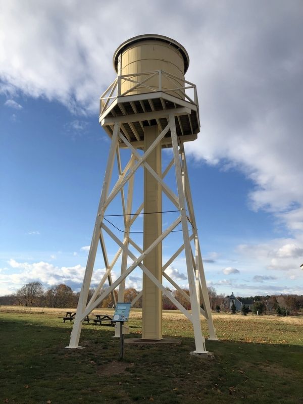
This tower stored water for livestock. It was fed by a hydraulic ram and electric pumps, marvels of technology unusual for a family farm. Water to fill the tank came from the Merriland River near the bridge on today's Skinner Mill Road.
Water flowed through an intake pipe, pushed by the river current and assisted by electric pumps at each one-way valve. As the central column filled, gravity pulled the water in it down, pushing the valves closed and preventing water from escaping back towards the river. Water flowed from the holding tank through a system of pipes directly into animals' drinking bowls.
By the Numbers
c. 1904 Construction completed
c. 1914 Last used
1 Family farms in Wells with their own water tower in 1905
2,200 Capacity in gallons
35 Estimated height in feet
2,500 Estimated feet of pipeline from river to tower
Topics. This historical marker is listed in these topic lists: Agriculture • Animals • Natural Resources • Waterways & Vessels. A significant historical year for this entry is 1904.
Location. 43° 20.256′ N, 70° 33.051′ W. Marker is in Wells, Maine, in York County. Marker can be reached from Skinner Mill Road north of Laudholm Farm Road, on the right when traveling north. Touch for map. Marker is at or near this postal address: 342 Laudholm Farm Rd, Wells ME 04090, United States of America. Touch for directions.
Other nearby markers. At least 8 other markers are within walking distance of this marker. Ice House (here, next to this marker); Farmhouse (within shouting distance of this marker); Hay and Horse Barn (within shouting distance of this marker); Cow Barn (within shouting distance of this marker); Laudholm Farm: The foundation of the Wells Reserve (within shouting distance of this marker); Creamery (about 300 feet away, measured in a direct line); Welcome to the 'Sense of Wonder' Rain Garden… (approx. 0.7 miles away); Rachel Carson (approx. 0.7 miles away). Touch for a list and map of all markers in Wells.
Credits. This page was last revised on November 22, 2021. It was originally submitted on November 22, 2021, by Devry Becker Jones of Washington, District of Columbia. This page has been viewed 219 times since then and 9 times this year. Photos: 1, 2. submitted on November 22, 2021, by Devry Becker Jones of Washington, District of Columbia.

