Roxbury in Litchfield County, Connecticut — The American Northeast (New England)
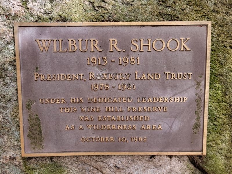
Wilbur R. Shook
President, Roxbury Land Trust
1978 – 1981
Under His Dedicated Leadership
This Mine Hill Preserve
Was Established
As a Wilderness Area
October 10, 1982
Erected 1982 by Roxbury Land Trust.
Topics. This historical marker is listed in these topic lists: Environment • Parks & Recreational Areas. A significant historical date for this entry is October 10, 1982.
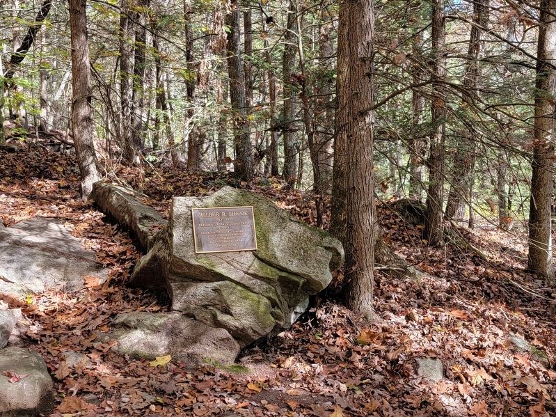
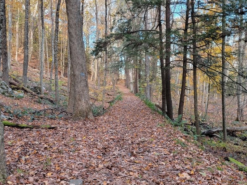
Location. 41° 33.666′ N, 73° 20.167′ W. Marker is in Roxbury, Connecticut, in Litchfield County. Marker can be reached from Mine Hill Road, half a mile west of Hodge Road, on the right when traveling west. Located near the start of the Donkey Trail, near the blast furnace, about .2 miles from the parking lot. Touch for map. Marker is in this post office area: Roxbury CT 06783, United States of America. Touch for directions.
Other nearby markers. At least 8 other markers are within 3 miles of this marker, measured as the crow flies. Mine Hill Preserve (about 500 feet away, measured in a direct line); The Orzech Family Preserve (approx. 0.8 miles away); Cadet Charles K. Hodge (approx. 1.3 miles away); Roxbury Veterans Monument (approx. 1.3 miles away); Roxbury (approx. 1.3 miles away); Col. Seth Warner Monument (approx. 1.4 miles away); Roxbury WW II Veterans Marker (approx. 1.4 miles away); Bridgewater WW I Memorial (approx. 2.4 miles away). Touch for a list and map of all markers in Roxbury.
Also see . . .
1. Roxbury Land Trust. (Submitted on November 27, 2021, by Michael Herrick of Southbury, Connecticut.)
2. Mine Hill Preserve. A beautiful slide show of photos of this area. (Submitted on November 27, 2021, by Michael Herrick of Southbury, Connecticut.)
Credits. This page was last revised on November 27, 2021. It was originally submitted on November 27, 2021, by Michael Herrick of Southbury, Connecticut. This page has been viewed 90 times since then and 9 times this year. Photos: 1, 2, 3. submitted on November 27, 2021, by Michael Herrick of Southbury, Connecticut.


