Taopi Township near Colton in Minnehaha County, South Dakota — The American Midwest (Upper Plains)
Taopi
November 26, 2021
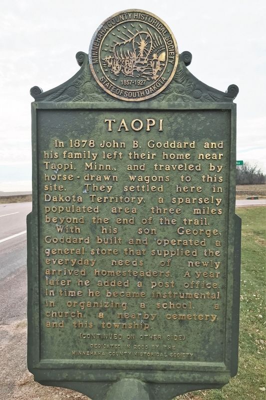
1. Taopi Marker
In 1878 John B. Goddard and his family left their home near Taopi, Minn., and traveled by horse-drawn wagons to this site. They settled here in Dakota Territory, a sparsely populated area three miles beyond the end of the trail.
With his son George, Goddard built and operated a general store that supplied the everyday needs of newly arrived homesteaders. A year later he added a post office. In time he became instrumental in organizing a school, a church, a nearby cemetery, and this township.
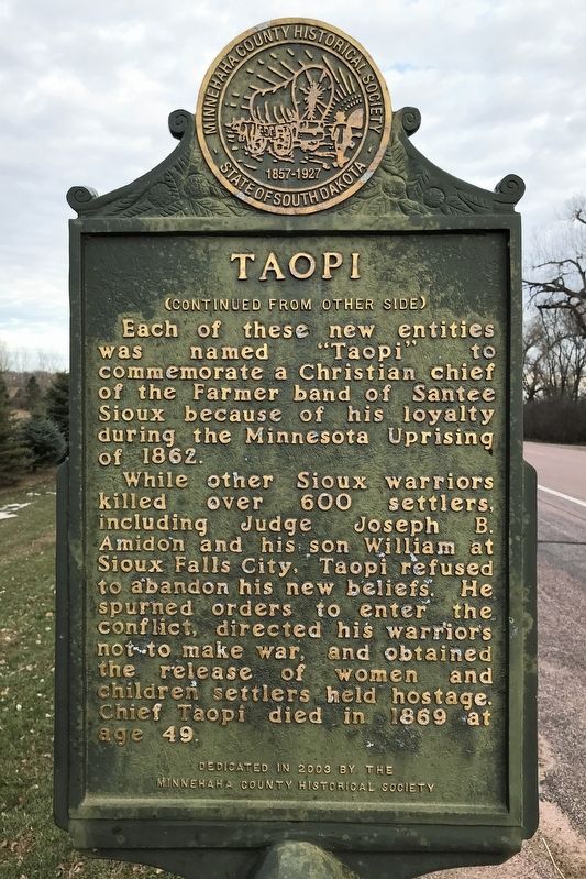
Each of these new entities was named "Taopi" to commemorate a Christian chief of the Farmer band of Santee Sioux because of his loyalty during the Minnesota Uprising of 1862.
While other Sioux warriors killed over 600 settlers, including Judge Joseph B. Amidon and his son William at Sioux Falls City, Taopi refused to abandon his new beliefs. He spurned orders to enter the conflict, directed his warriors not to make war, and obtained the release of women and children settlers held hostage. Chief Taopi died in 1869 at age 49.
Erected 2003 by the Minnehaha County Historical Society.
Topics. This historical marker is listed in these topic lists: Indigenous Peoples and Communities • Settlements & Settlers • Wars, US Indian. A significant historical year for this entry is 1878.
Location. 43° 47.44′ N, 96° 59.431′ W. Marker is near Colton, South Dakota, in Minnehaha County. It is in Taopi Township. It is at the intersection of 248th Street (County Road 110) and 461st Avenue (County Road 155), on the right when traveling west on 248th Street. Touch for map. Marker is at or near this postal address: 24798 461st Ave, Colton SD 57018, United States of America. Touch for directions.

Regionally, this marker is in East River and in Greater Sioux Falls. It is also in the American Midwest, in the Lewis &
this page online
Other nearby markers. At least 8 other markers are within 8 miles of this marker, measured as the crow flies: Bethania Lutheran Church (approx. 2.4 miles away); John Edmund Colton / Founding of Colton (approx. 3 miles away); South Dakota Central (approx. 3.1 miles away); Colton Public Schools (approx. 3.1 miles away); Hartman, 1899-1916 (approx. 4.1 miles away); Huntimer (approx. 4.2 miles away); Doug Horsted (approx. 6.6 miles away); Lyons High School (approx. 7.7 miles away). Touch for a list and map of all markers in Colton.
November 26, 2021
2. Taopi Marker
November 26, 2021
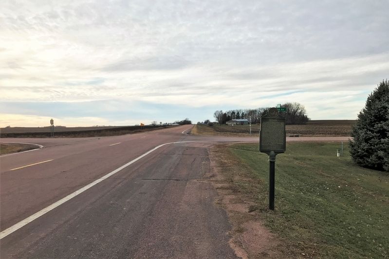
3. Taopi Marker, from the east
November 26, 2021
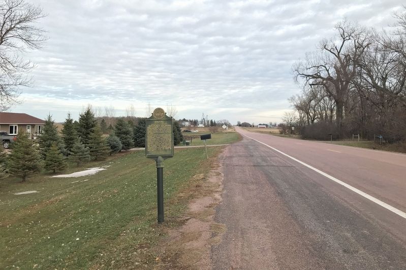
4. Taopi Marker, from the west
Credits. This page was last revised on November 29, 2021. It was originally submitted on November 27, 2021. This page has been viewed 748 times since then and 67 times this year. Photos: 1, 2, 3, 4. submitted on November 27, 2021. • Devry Becker Jones was the editor who published this page.
