Colorado City in Pueblo County, Colorado — The American Mountains (Southwest)
Cuerno Verde
Colorado
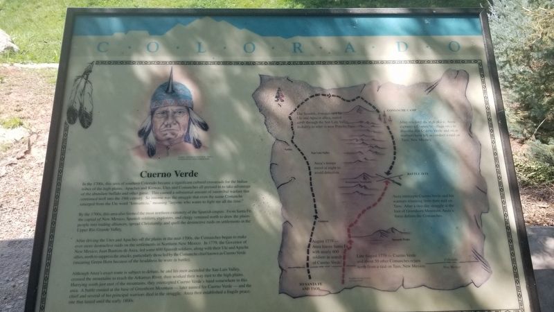
By the 1700s, this area also formed the most northern extremity of the Spanish empire. From Santa Fe, the capital of New Mexico, Spanish soldiers, explorers, and clergy ventured north to draw the plains people into trading alliances, spread Christianity, and quell the destructive raids on settlements in the Upper Rio Grande Valley.
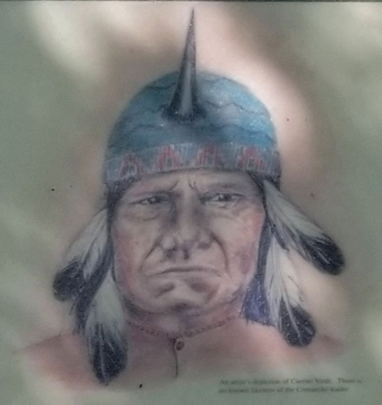
After driving the Utes and Apaches off the plains in the mid-1700s, the Comanches began to make ever more destructive raids on the settlements in Northern New Mexico. In 1779, the Governor of New Mexico, Juan Bautista de Anza, led some 600 Spanish soldiers, along with their Ute and Apache allies, north to suppress the attacks, particularly those led by the Comanche chief known as Cuerno Verde (meaning Green Horn because of the headdress he wore in battle).
Although Anza's exact route is subject to debate, he and his men ascended the San Luis Valley. crossed the mountains to reach the Arkansas River, then worked their way east to the high plains. Hurrying south just east of the mountains, they intercepted Cuerno Verde's band somewhere in this area. A battle ensued at the base of Greenhorn Mountain - later named for Cuerno Verde - and the chief and several of his principal warriors died in the struggle. Anza then established a fragile peace, one that lasted until the early 1800s.
Map Details
• August 1779 - Anza leaves Santa Fe with nearly 600 soldiers in search of Cuerno Verde.
• Anza's troops travel at night to avoid detection.
• The Spanish, strengthened by Ute and Apache allies, march north through the San Luis Valley probably to what is now Poncha Pass.
• After reaching the high plains, Anza captures a Comanche village only to discover that Cerno Verde and other warriors have left to conduct a raid on Taos, New Mexico.
• August 1779 - Cuerno Verde and about 50 other Comanches return north from a raid on Taos, New Mexico.
• Anza intercepts Cuerno Verde and his warriors returning from their raid on Taos. After a two-day struggle at the foot of Greenhorn Mountain, Anza's force defeats the Comanches.
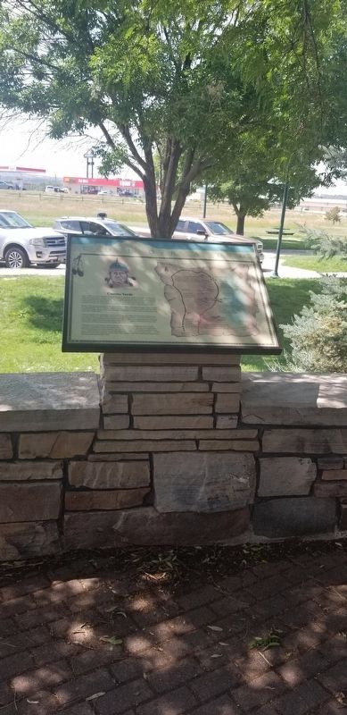
Erected by Colorado Historical Society and Colorado Department of Transportation.
Topics. This historical marker is listed in these topic lists: Colonial Era • Native Americans. A significant historical year for this entry is 1779.
Location. 37° 57.817′ N, 104° 47.825′ W. Marker is in Colorado City, Colorado, in Pueblo County. Marker can be reached from the intersection of State Highway 165 and Interstate 25. The marker is located at the Cuerno Verde - Colorado City Rest Area. Touch for map. Marker is in this post office area: Colorado City CO 81019, United States of America. Touch for directions.
Other nearby markers. At least 4 other markers are within 4 miles of this marker, measured as the crow flies. The Civil War in the Southwest (a few steps from this marker); The Story Beneath Your Feet (a few steps from this marker); Santa Fe and Taos Trails (within shouting distance of this marker); Greenhorn Creek Bridge (approx. 3.7 miles away).
Also see . . . Cuerno Verde.
Cuerno Verde (unknown – September 3, 1779) is the Spanish name for Tavibo Naritgant, a leader of the Comanche, likely of the Kotsoteka Comanche, in the late 18th century. Source: Wikipedia(Submitted on November 28, 2021, by James Hulse of Medina, Texas.)
Credits. This page was last revised on December 15, 2021. It was originally submitted on November 28, 2021, by James Hulse of Medina, Texas. This page has been viewed 958 times since then and 144 times this year. Photos: 1, 2, 3, 4. submitted on November 28, 2021, by James Hulse of Medina, Texas.
Editor’s want-list for this marker. Clear photo of marker. • Can you help?


