Near Archer City in Archer County, Texas — The American South (West South Central)
In Vicinity of French Trading Area

Photographed by Brian Anderson, November 23, 2021
1. In Vicinity of French Trading Area Marker
Erected 1974 by Texas Historical Commission. (Marker Number 2627.)
Topics. This historical marker is listed in these topic lists: Colonial Era • Exploration • Indigenous Peoples and Communities • Industry & Commerce.
Location. 33° 34.725′ N, 98° 46.889′ W. Marker is near Archer City, Texas, in Archer County. It is on Farm to Market Road 210 0.7 miles east of Dugan Road, on the right when traveling west. Touch for map. Marker is in this post office area: Archer City TX 76351, United States
this page online

Regionally, this marker is in Big Country. Globally, it is in North America, a Gulf of Mexico state, the Western Hemisphere, the Western World, and the Anglosphere. Historically, it finds itself in what was once New Spain, the Republic of Texas, and one of the Confederate States of America.
Other nearby markers. At least 8 other markers are within 9 miles of this marker, measured as the crow flies: Archer County Copper Mines (approx. 6.4 miles away); Archer County (approx. 8.3 miles away); First Baptist Church of Archer City (approx. 9 miles away); Branch T. Archer (approx. 9 miles away); Archer City Methodist Church (approx. 9 miles away); Archer County Discovery Well (approx. 9.1 miles away); A Jesse James Hideout (approx. 9.1 miles away); Sheriff E. Harrison Ikard (approx. 9.1 miles away). Touch for a list and map of all markers in Archer City.
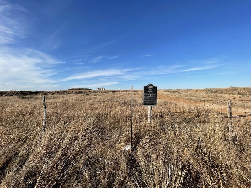
Photographed by Brian Anderson, November 23, 2021
2. In Vicinity of French Trading Area Marker
Credits. This page was last revised on November 30, 2021. It was originally submitted on November 30, 2021, by Brian Anderson of New Albany, Ohio. This page has been viewed 2,545 times since then and 282 times this year. Photos: 1, 2. submitted on November 30, 2021, by Brian Anderson of New Albany, Ohio.
