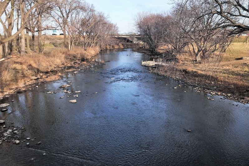
Sioux Falls in Minnehaha County, South Dakota — The American Midwest (Upper Plains)
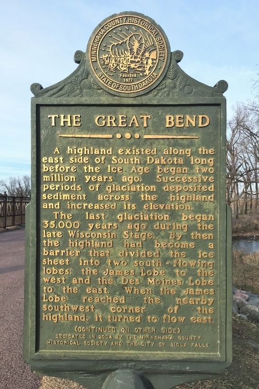
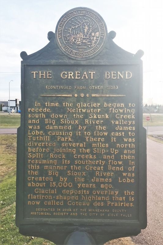
The Great Bend
The last glaciation began 35,000 years ago during the late Wisconsin Stage. By then the highland had become a barrier that divided the ice sheet into two south-flowing lobes: the James Lobe to the west and the Des Moines Lobe to the east. When the James Lobe reached the nearby southwest corner of the highland, it turned to flow east.
In time the glacier began to recede. Meltwater flowing south down the Skunk Creek and Big Sioux River valleys was dammed by the James Lobe, causing it to flow east to Tuthill Park. There it was diverted several miles north before joining the Slip-Up and Split Rock creeks and then resuming its southerly flow. In this manner the Great Bend of the Big Sioux River was created by the James Lobe about 15,000 years ago.
Glacial deposits overlay the flatiron-shaped highland that is now called the Coteau des Prairies.
Erected 2004 by the Minnehaha County Historical Society and the City of Sioux Falls.
Topics. This historical marker is listed in these topic lists: Environment • Waterways & Vessels.
Location. 43° 30.058′ N, 96° 45.068′ W. Marker is in Sioux Falls, South Dakota, in Minnehaha County. Marker is on West 57th Street north of Old Yankton Circle, on the right when traveling west. Located in Farm Field Park by the Old Yankton Bridge. Touch for map. Marker is in this post office area: Colton SD 57018, United States of America. Touch for directions.
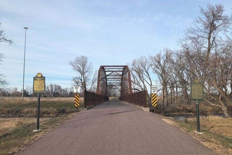
Other nearby markers. At least 8 other markers are within walking distance of this marker. Yankton Trail Bridge (here, next to this marker); South Dakota Achieve (approx. 0.3 miles away); "Mr. Soccer" Manfred Szameit (approx. 0.6 miles away); Wallner Gardens (approx. 0.6 miles away); Sertoma Park (approx. 0.6 miles away); Soo Skyways Airport (approx. ¾ mile away); Abraham Lincoln (approx. 0.9 miles away); Ronald Reagan (approx. 0.9 miles away). Touch for a list and map of all markers in Sioux Falls.
Credits. This page was last revised on December 2, 2021. It was originally submitted on December 2, 2021. This page has been viewed 170 times since then and 16 times this year. Photos: 1, 2, 3, 4, 5. submitted on December 2, 2021. • J. Makali Bruton was the editor who published this page.
