Forest Hill in Summers County, West Virginia — The American South (Appalachia)
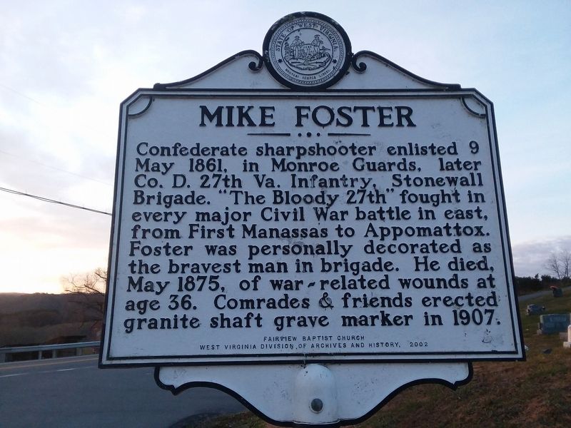
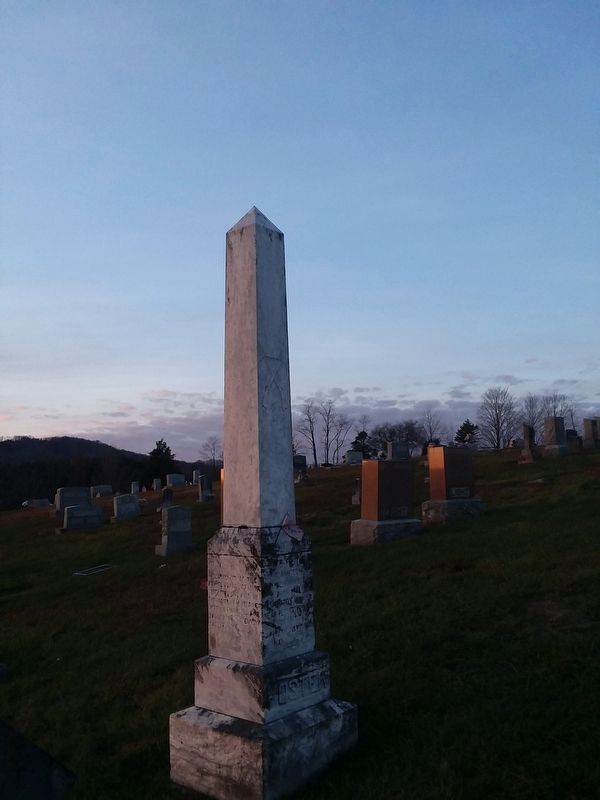
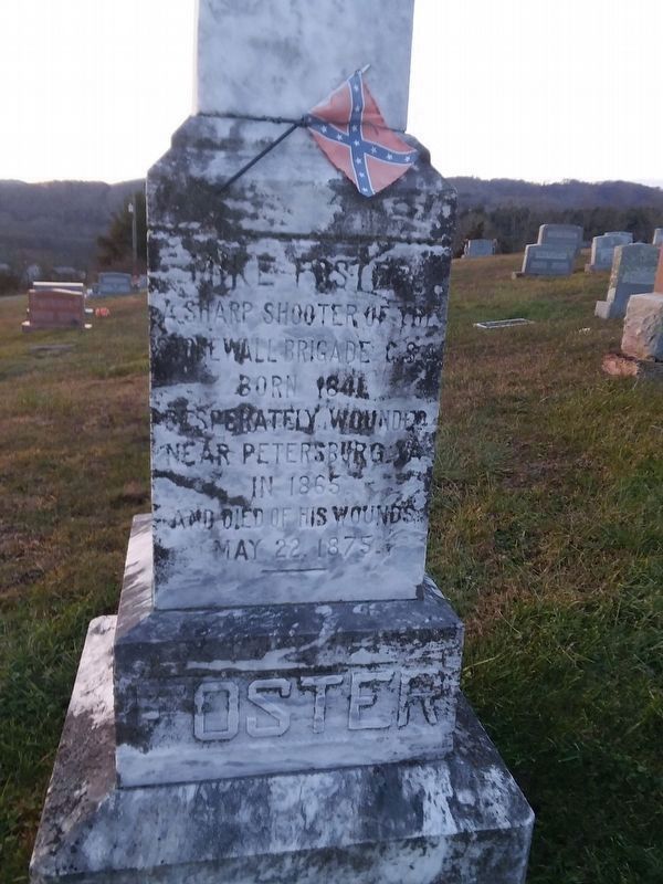
Mike Foster
Erected 2002 by Fairview Baptist Church, West Virginia Division of Archives and History.
Topics and series. This memorial is listed in these topic lists: Cemeteries & Burial Sites • War, US Civil. In addition, it is included in the West Virginia Archives and History series list. A significant historical date for this entry is May 9, 1861.
Location. 37° 34.218′ N, 80° 47.538′ W. Marker is in Forest Hill, West Virginia, in Summers County. Memorial is on Seminole Rd (County Route 21/1) 0.2 miles west of West Virginia Route 12, on the left when traveling east. Located near Fairview Baptist Church. Touch for map. Marker is at or near this postal address: 19 E Seminole Rd, Forest Hill WV 24935, United States of America. Touch for directions.
Other nearby markers. At least 8 other markers are within 6 miles of this marker, measured as the crow flies. Civil War Camp (approx. 0.2 miles away); Summers County / Monroe County (approx. 2.1 miles away); Red Sulphur Springs (approx. 4.2 miles away); Here Stood a Statue of John Henry (approx. 5.6 miles away); Great Bend Tunnel (approx. 5.6 miles away); Why The Tunnel Was Built (approx. 5.6 miles away); a different marker also named Great Bend Tunnel (approx. 5.6 miles away); The Legend Of John Henry (approx. 5.7 miles away).
Credits. This page was last revised on December 8, 2021. It was originally submitted on December 2, 2021, by Roger Miller of Pulaski, Virginia. This page has been viewed 189 times since then and 29 times this year. Photos: 1, 2, 3, 4. submitted on December 2, 2021, by Roger Miller of Pulaski, Virginia. • Bernard Fisher was the editor who published this page.


