Leonardtown in St. Mary's County, Maryland — The American Northeast (Mid-Atlantic)
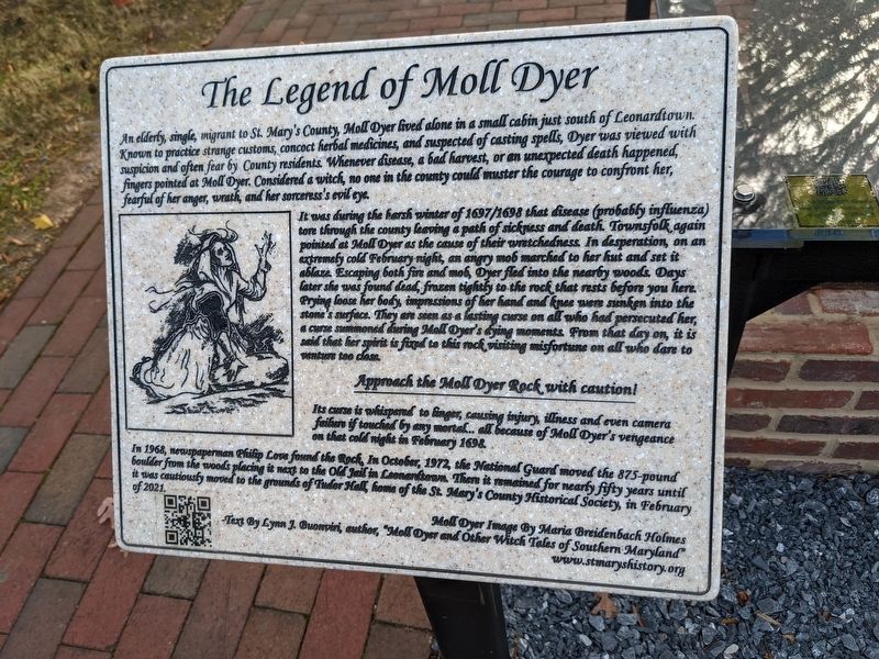
The Legend of Moll Dyer
It was during the harsh winter of 1697/1698 that disease (probably influenza) tore through the county leaving a path of sickness and death. Townsfolk again pointed at Moll Dyer as the cause of their wretchedness. In desperation, on an extremely cold February night, an angry mob marched to her hut and set it ablaze. Escaping both fire and mob, Dyer fled into the nearby woods. Days later she was found dead, frozen tightly to the rock that rests before you here. Prying loose her body, impressions of her hand and knee were sunken into the stone's surface. They are seen as a lasting curse on all who had persecuted her, a curse summoned during Moll Dyer's dying moments. From that day on, it is said that her spirit is fixed to this rock visiting misfortune on all who dare to venture too close.
Approach the Moll Dyer Rock with caution!
Its curse is whispered to linger, causing injury, illness and even camera failure if touched by any mortal. all because of Moll Dyer's vengeance on that cold night in February 1698.
In 1968, newspaperman Philip Cove found the Rock, In October, 1972, the National Guard moved the 875-pound boulder from the woods placing it next to the Old Jail in Leonardtown. There it remained for nearly fifty years until it was cautiously moved to the grounds of Tudor Hall, home of the St. Mary's County Historical Society, in February of 2021.
Moll Dyer Image By Maria Breidenbach Holmes Text By Lynn J. Buonviri, author, "Moll Dyer and Other Witch Tales of Southern Maryland" www.stmaryshistory.org
Erected 2021 by St. Mary's County Historical Society.
Topics. This historical marker is listed in these topic lists: Cemeteries & Burial Sites • Colonial Era • Settlements & Settlers • Women. A significant historical month for this entry is February 1698.
Location. 38° 17.31′ N, 76° 38.09′ W. Marker is in Leonardtown, Maryland, in St. Mary's County. Marker is on Tudor Hall Road. Touch for map. Marker is in this post office area: Leonardtown MD 20650, United States of America. Touch for directions.
Other nearby markers. At least 8 other markers are within walking distance of this marker. War Comes to Breton Bay (a few steps from this marker); Tudor Hall (within shouting distance of this marker); A Town Spared (within shouting distance of this marker); This Cannon (about 500 feet away, measured in a direct line); Leonardtown (about 500 feet away); Lynching in America / Lynching of Benjamin Hance (about 500 feet away); The Great House (about 600 feet away); Veterans Memorial (approx. 0.2 miles away). Touch for a list and map of all markers in Leonardtown.
Additional keywords. haunted
Credits. This page was last revised on December 8, 2021. It was originally submitted on December 2, 2021, by Sean C Bath of Silver Spring, Maryland. This page has been viewed 955 times since then and 145 times this year. Photo 1. submitted on December 2, 2021, by Sean C Bath of Silver Spring, Maryland. • Bill Pfingsten was the editor who published this page.
Editor’s want-list for this marker. A wide shot of the marker and its surroundings. • Can you help?
