Croom in Prince George's County, Maryland — The American Northeast (Mid-Atlantic)
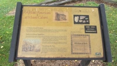
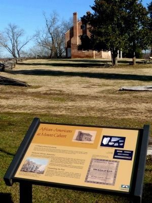
African-Americans at Mount Calvert
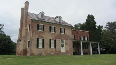
For more than 200 years, slave-based tobacco plantations dominated the economy of Prince George's County. After the county seat moved from Mount Calvert to Upper Marlboro in 1721, Mount Calvert was the center of a large tobacco plantation. The brick plantation house was built by John Brown in 1789.
Enslaved African-Americans
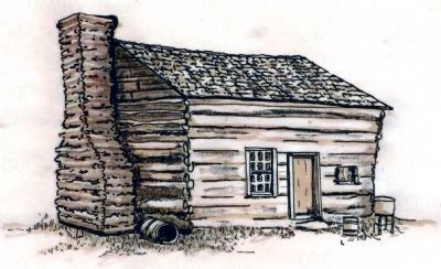
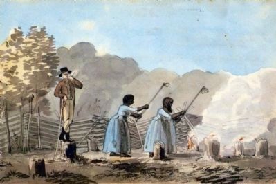
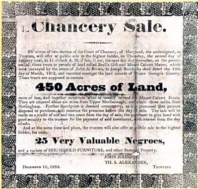
African-American slaves tended livestock, planted and harvested tobacco and other crops, and worked as servants and craftsmen at Mount Calvert throughout its history as a plantation. Their numbers ranged from 27 in 1799 to 51 in 1864. Most of their names are unknown to us today. We do know that in 1864, the children of Charity Jackson, Chrstianna Harrison, Martha Crauford and Sarah Brent lived here.
Following the Civil War and freedom, African-Americans continued to live and work at Mount Calvert as laborers, servants and tenant farmers.
Unearthing the Past
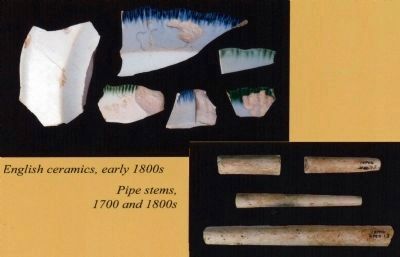
Archaeologists have discovered evidence of slave quarters at Mount Calvert. Artifacts such as ceramics, pipe stems and historical documents help to fill gaps in our knowledge about the lives of enslaved and free African-Americans who lived and worked at Mount Calvert.
Topics. This historical marker is listed in these topic lists: African Americans • Agriculture • Colonial Era. A significant historical year for this entry is 1721.
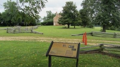
Location. 38° 47.086′ N, 76° 42.922′ W. Marker is in Croom, Maryland, in Prince George's County. Marker is on Mount Calvert Road, 0.4 miles east of McClure Road, on the right. Marker is in the Mount Calvert Historical and Archaeological Park, adjacent to the parking area. Touch for map. Marker is in this post office area: Upper Marlboro MD 20772, United States of America. Touch for directions.
Other nearby markers. At least 8 other markers are within walking distance of this marker. Mount Calvert Manor (within shouting distance of this marker); Explosive Scene (within shouting distance of this marker); The War of 1812 and the Chesapeake Flotilla (within shouting distance of this marker); Chesapeake Beach Railway (within shouting distance of this marker); Mount Calvert Federal Period Plantation House (within shouting distance of this marker); Billingsley's Point (about 300 feet away, measured in a direct line); Mount Calvert, Early Town (about 300 feet away); Woodland Indians (about 300 feet away). Touch for a list and map of all markers in Croom.
Credits. This page was last revised on December 5, 2021. It was originally submitted on September 1, 2013, by F. Robby of Baltimore, Maryland. This page has been viewed 921 times since then and 56 times this year. Last updated on December 4, 2021, by Carl Gordon Moore Jr. of North East, Maryland. Photos: 1, 2. submitted on September 1, 2013, by F. Robby of Baltimore, Maryland. 3, 4, 5, 6, 7. submitted on February 1, 2015, by Allen C. Browne of Silver Spring, Maryland. 8. submitted on September 1, 2013, by F. Robby of Baltimore, Maryland. • J. Makali Bruton was the editor who published this page.
