
South Downtown in Atlanta in Fulton County, Georgia — The American South (South Atlantic)
The Campaign for an Open City (1960-1964)
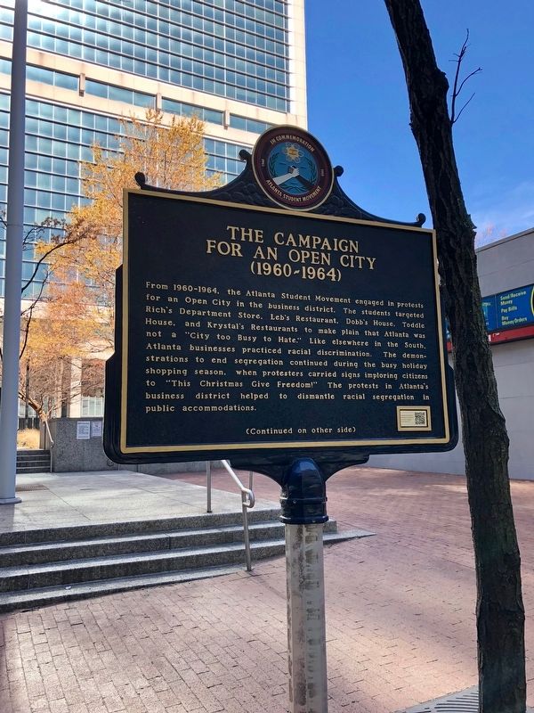
Warren LeMay via Flickr/Public domain, March 23, 2019
1. The Campaign for an Open City (1960-1964) Marker
Topics. This historical marker is listed in these topic lists: African Americans • Civil Rights. A significant historical year for this entry is 1960.
Location. 33° 45.208′ N, 84° 23.582′ W. Marker is in Atlanta, Georgia, in Fulton County. It is in South Downtown. It is on Forsyth Street SW, on the right when traveling south. Marker is in front of the Sam Nunn Atlanta Federal Center plaza. Touch for map. Marker is at or near this postal address: 31 Forsyth St SW, Atlanta GA 30303,
this page online

Regionally, this marker is in Georgia’s Piedmont. It is also in the American South and specifically in the Deep South. Globally, it is in North America, the Western Hemisphere, the Western World, and the Anglosphere. Historically, it finds itself in what was once the territory of the Mississippian Culture, one of the original Thirteen Colonies, one of the Confederate States of America, and the Antebellum South.
Other nearby markers. At least 8 other markers are within walking distance of this marker: Birthplace of Coca-Cola (approx. 0.2 miles away); Fulton County (approx. 0.2 miles away); The Eternal Flame Of The Confederacy (approx. 0.2 miles away); Thrasherville (approx. ¼ mile away); U.S. Courthouse, Atlanta, Georgia (approx. ¼ mile away); Willis Carlisle's Store (approx. ¼ mile away); The Glenn Hotel (approx. ¼ mile away); Healey Building (approx. ¼ mile away). Touch for a list and map of all markers in Atlanta.
Credits. This page was last revised on February 8, 2023. It was originally submitted on December 7, 2021, by Duane and Tracy Marsteller of Murfreesboro, Tennessee. This page has been viewed 635 times since then and 33 times this year. Photo 1. submitted on December 7, 2021, by Duane and Tracy Marsteller of Murfreesboro, Tennessee.
Editor’s want-list for this marker. Inscription and closeup photo of reverse side of marker • Wide shot of marker and surrounding area in context. • Can you help?
