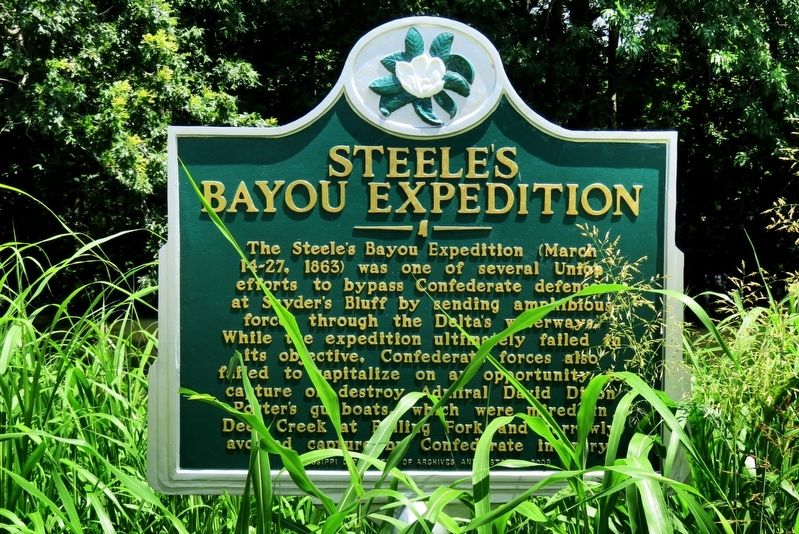
Near Vicksburg in Issaquena County, Mississippi — The American South (East South Central)
Steele's Bayou Expedition
Erected 2009 by Mississippi Department of Archives and History. (Marker Number 1167.)
Topics. This historical marker is listed in these topic lists: War, US Civil • Waterways & Vessels. A significant historical date for this entry is March 14, 1863.
Location. 32° 27.11′ N, 90° 53.266′ W. Marker is near Vicksburg, Mississippi, in Issaquena County. Marker is on State Highway 465, 2 miles east of Section Road, on the left when traveling east. Marker is on the east side of the bridge over Steele Bayou. Touch for map. Marker is in this post office area: Vicksburg MS 39183, United States of America. Touch for directions.
Other nearby markers. At least 8 other markers are within 6 miles of this marker, measured as the crow flies. Chickasaw Bayou Battle (approx. 4 miles away); Kings School (approx. 4˝ miles away); Waltersville (approx. 5.2 miles away); U.S. 4th Battery, Ohio Light Artillery; (approx. 5.2 miles away); U S Missouri 29th Infantry (approx. 5.3 miles away); U S Missouri 27th Infantry (approx. 5.3 miles away); Serving with Honor (approx. 5.3 miles away); Steering an Ironclad - USS Cairo (approx. 5.4 miles away). Touch for a list and map of all markers in Vicksburg.
Credits. This page was last revised on December 10, 2021. It was originally submitted on December 9, 2021, by Duane and Tracy Marsteller of Murfreesboro, Tennessee. This page has been viewed 364 times since then and 64 times this year. Photo 1. submitted on December 9, 2021, by Duane and Tracy Marsteller of Murfreesboro, Tennessee.
Editor’s want-list for this marker. Wide shot of marker and surrounding area in context. • Can you help?
