Near Creston in Central Kootenay, British Columbia — Canada’s West Coast (North America)
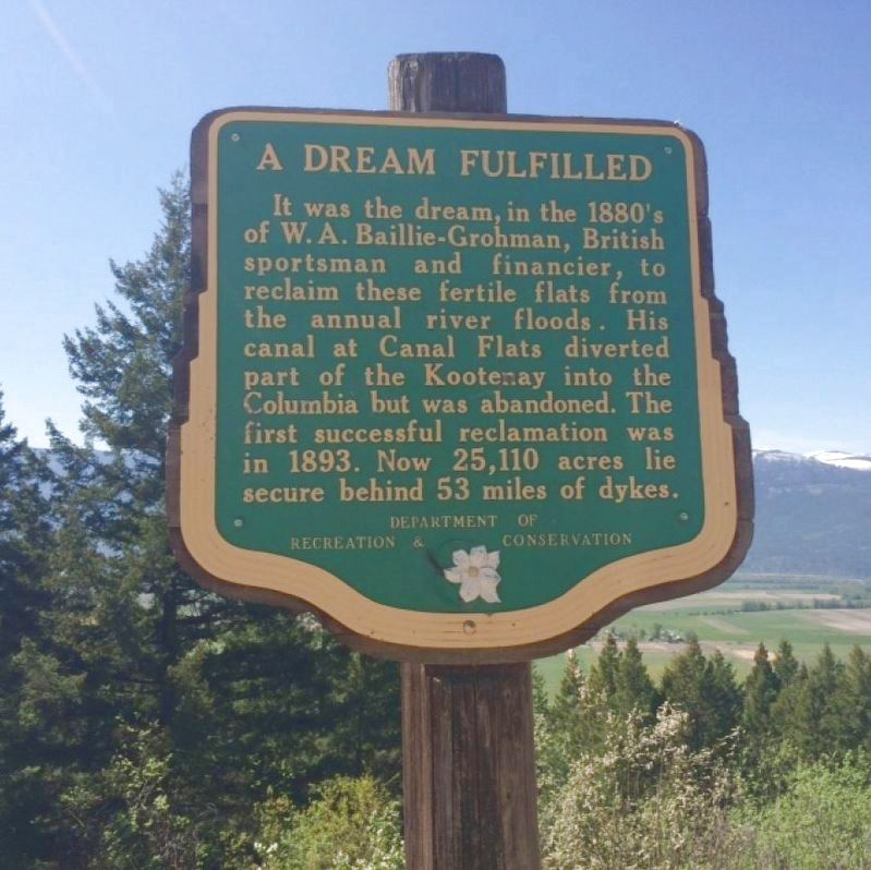
A Dream Fulfilled

B.C. Ministry of Transportation and Infrastructure via Flickr (CC BY-NC-ND 2.0), June 15, 2016
1. A Dream Fulfilled Marker
Erected by British Columbia Department of Recreation and Conservation.
Topics. This historical marker is listed in these topic lists: Man-Made Features • Waterways & Vessels. A significant historical year for this entry is 1893.
Location. 49° 8.745′ N, 116° 32.014′ W. Marker is near Creston, British Columbia, in Central Kootenay. Marker is on Highway 3A, 0.3 kilometers south of View Road, on the right when traveling south. Marker is by the Creston Lions Club Viewing Shelter at the Creston Valley overlook. Touch for map. Marker is in this post office area: Creston BC V0B, Canada. Touch for directions.
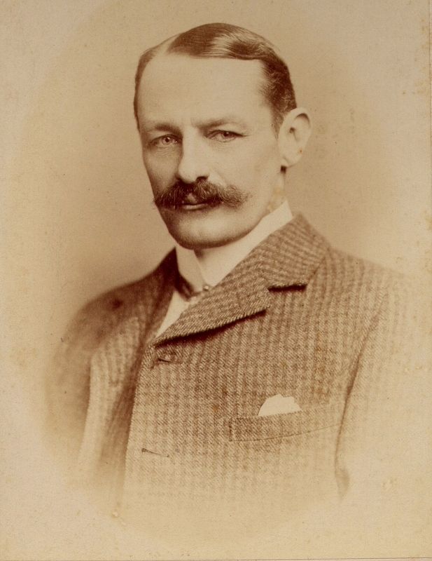
Also see . . . William Adolf Baillie Grohman. Wikipedia entry on the big game sportsman, author and pioneer in the Kootenay region of British Columbia. (Submitted on December 11, 2021, by Duane and Tracy Marsteller of Murfreesboro, Tennessee.)

Nick Knowles via Wikimedia Commons, scan of original from descendent family archives (CC BY-SA 3.0), 1885
2. William Adolf Baillie Grohman (1851-1921)
Credits. This page was last revised on February 12, 2022. It was originally submitted on December 10, 2021, by Duane and Tracy Marsteller of Murfreesboro, Tennessee. This page has been viewed 88 times since then and 5 times this year. Photos: 1. submitted on December 10, 2021, by Duane and Tracy Marsteller of Murfreesboro, Tennessee. 2. submitted on December 11, 2021, by Duane and Tracy Marsteller of Murfreesboro, Tennessee.
Editor’s want-list for this marker. A wide shot of the marker and its surroundings. • Can you help?