Tishomingo in Johnston County, Oklahoma — The American South (West South Central)
Lost and Found
Photographed by James Hulse, September 12, 2021
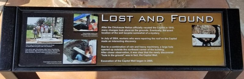
1. Lost and Found Marker
In July of 2004, workers who were repairing the roof on the Capitol made an interesting discovery.
Due to a combination of rain and heavy machinery, a large hole opened up outside the northeast corner of the building. After closer observation, it was clear that the newly discovered "hole in the ground" was in fact, the Capitol Well.
Excavation of the Capitol Well began in 2005.
Captions
Far Left Side: Chris Cojee, Archaeological Consultant, in charge of Capitol Well excavation with crew members.
From left to right: Chris Morgan, Mike Taylor, David Boling, Stan Chambers, Mike Hester and Chris Cojeen. (Not shown): Kreta Chambers, Thomas Lindsey and Roger Burkhalter,
Chickasaw Nation photo archives
Left Bottom: Crew begins excavation of well.
Chickasaw Nation photo archives
Left Top: Crew member looks on as excavation nears completion.
Chickasaw Nation photo archives
Right Side: Inside Capitol Well
Chickasaw Nation photo archives
Erected by Chickasaw
this page online
Topics. This historical marker is listed in these topic lists: Anthropology & Archaeology • Indigenous Peoples and Communities. A significant historical month for this entry is July 2004.
Location. 34° 14.297′ N, 96° 40.78′ W. Marker is in Tishomingo, Oklahoma, in Johnston County. It can be reached from the intersection of West 9th Street and North Capital Avenue. The marker is located on the northeast corner of the Chickasaw National Capital Building. Touch for map. Marker is at or near this postal address: 411 West 9th Street, Tishomingo OK 73460, United States of America. Touch for directions.

Regionally, this marker is in the Chickasaw Nation and in South Central Oklahoma—Chickasaw Country. It is also in the American South, specifically on the prairies, and on the Southern Plains. Globally, it is in North America, the Western Hemisphere, the Western World, and the Anglosphere. Historically, it finds itself in what was once the territory of the Mississippian Culture and also the Louisiana Purchase.
Other nearby markers. At least 8 other markers are within walking distance of this
Photographed by James Hulse, September 12, 2021
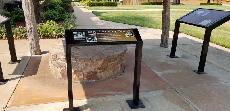
2. The Lost and Found Marker next to the Capital Well
Photographed by James Hulse, September 12, 2021
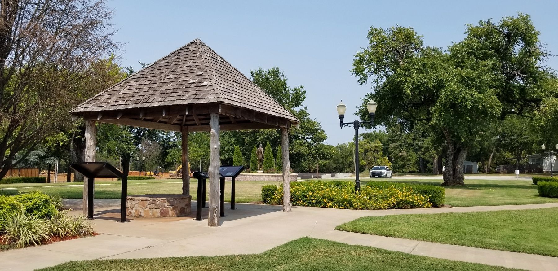
3. The view of the Capitol Well and three markers around it
Credits. This page was last revised on December 11, 2021. It was originally submitted on December 11, 2021, by James Hulse of Medina, Texas. This page has been viewed 290 times since then and 14 times this year. Photos: 1, 2, 3. submitted on December 11, 2021, by James Hulse of Medina, Texas.
