Near Ewing in Lee County, Virginia — The American South (Mid-Atlantic)
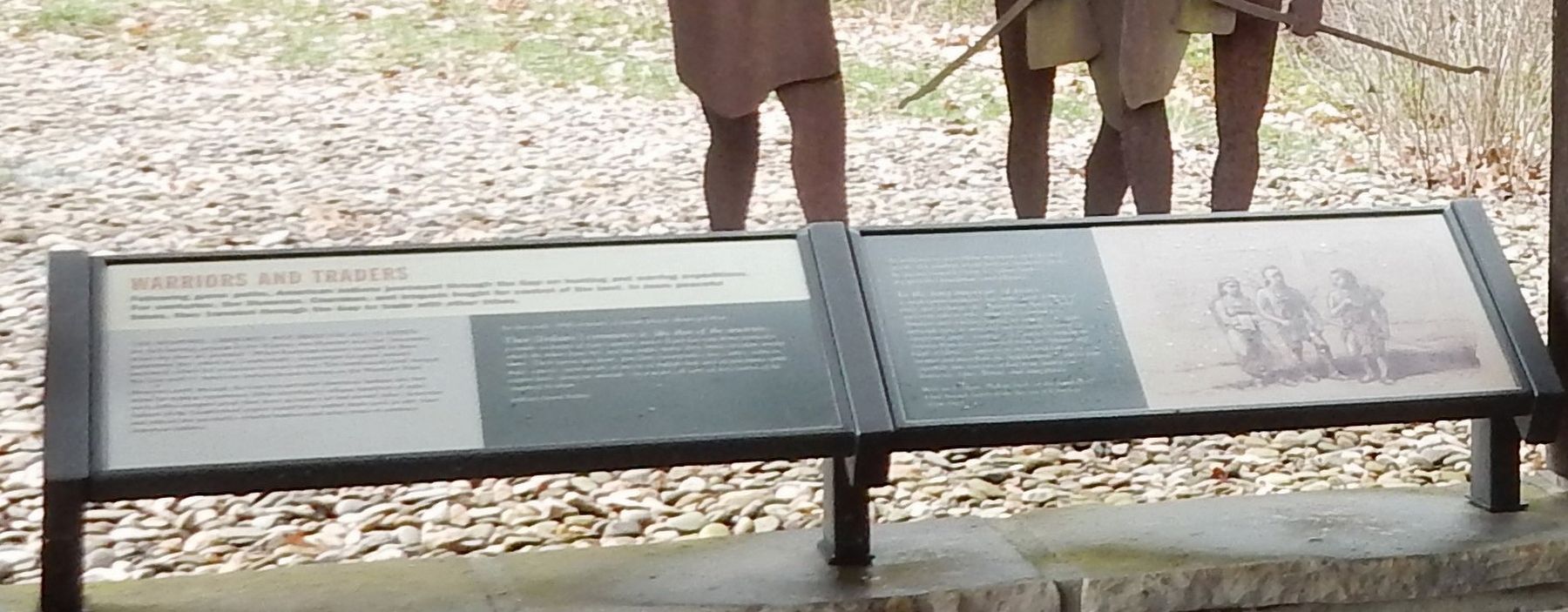
Warriors and Traders
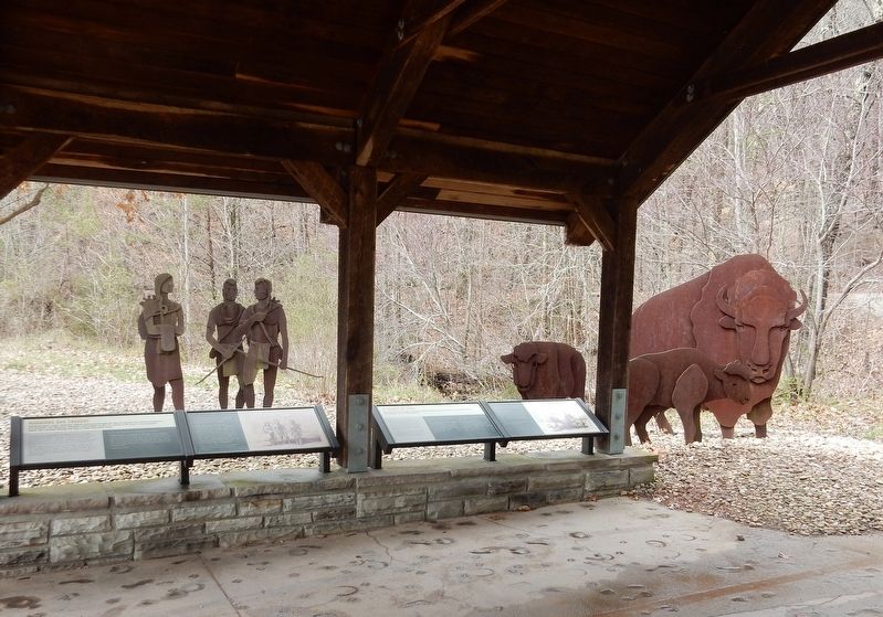
The Shawnee, Cherokee, and Iroquois all claimed the rich hunting grounds in the Wasioto, the Shawnee word for “mountains where the deer are plentiful.” When European hunters traveled to these mountains they called the Cumberlands, competition for game animals increased, which led to friction between tribes. The north-south trail through the Gap used by American Indians became known as the Warriors' Path.
However, trails through the Gap also provided American Indians the best route for trading expeditions. Often traveling to villages hundreds of miles away, tribes swapped goods that were necessary or had sacred value. American Indians of the Cumberland region would have traded items such as salt, chert and tobacco for sea shells, colorful feathers, and other items of southern American Indians.
In the early 18th century, a Jesuit priest observed that:
Their [Indians'] commerce is, like that of the ancients, a simple exchange of wares against wares. Each has something particular which the others have not, and the traffic makes these things circulate among them. Their wares are grain, porcelain (wampum), furs, robes, tobacco, mats, canoes, work made of moose of buffalo hair and of porcupine quills, cotton-beds, domestic utensils — in a word, all sorts of necessities of life required by them. — Lafitau, Jesuit Father
In addition to providing necessary and desired goods, the trading ritual helped maintain peace by giving tangible form to values such as reciprocity, friendship, and alliance.
In the long intervals of peace a small barter-commerce was widespread. Objects of trade and exchange often passed from hand to hand and from tribe to tribe, ultimately covering long distances and reaching regions far remote … Certain materials were in universal and constant demand for ornaments, pipes, weapons, or household implements. Among them were conch shell from the Atlantic and Gulf of Mexico, copper from the Great Lakes … steatite and mica from the Appalachians … and certain especially fine varieties of flint from quarries in Tennessee, Ohio, Illinois, and other places. — William E. Myer, “Indian Trails of the Southeast,” 42nd Annual Report of the Bureau of Ethnology
Erected by National Park Service.
Topics. This historical marker is listed in these topic lists: Industry & Commerce
• Native Americans • Roads & Vehicles.
Location. 36° 36.121′ N, 83° 39.601′ W. Marker is near Ewing, Virginia, in Lee County. Marker can be reached from State Road 872, 0.2 miles north of U.S. 58, on the right when traveling north. Marker is at the Cumberland Gap National Historic Park's Daniel Boone Visitor Information Center. Touch for map. Marker is in this post office area: Ewing VA 24248, United States of America. Touch for directions.
Other nearby markers. At least 8 other markers are within walking distance of this marker. In Search of Food (here, next to this marker); Abundance of Wild Beasts (here, next to this marker); Daniel Boone Wilderness Trail (within shouting distance of this marker); Fulfilling the Dream (about 800 feet away, measured in a direct line); Lee County / Tennessee (approx. ¼ mile away); Harrow School (approx. 0.3 miles away in Tennessee); Boone Trail Highway Marker (approx. 0.3 miles away in Tennessee); Cumberland Gap Veterans Memorial (approx. 0.4 miles away in Tennessee). Touch for a list and map of all markers in Ewing.
Credits. This page was last revised on December 17, 2021. It was originally submitted on December 17, 2021, by Duane and Tracy Marsteller of Murfreesboro, Tennessee. This page has been viewed 159 times since then and 27 times this year. Photos: 1, 2. submitted on December 17, 2021, by Duane and Tracy Marsteller of Murfreesboro, Tennessee.

