Near Charlottesville in Albemarle County, Virginia — The American South (Mid-Atlantic)
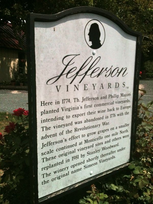
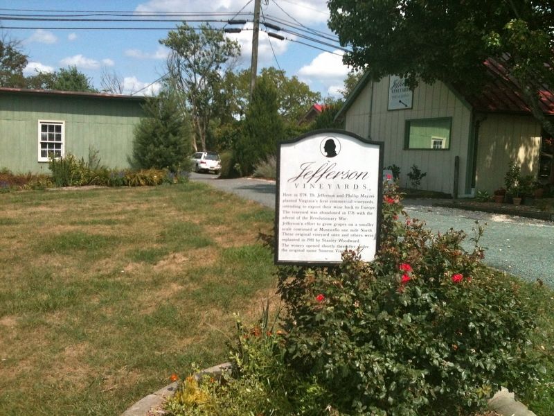
Jefferson Vineyards
Erected by Jefferson Vinyard.
Topics. This historical marker is listed in these topic lists: Agriculture • Colonial Era • Industry & Commerce • War, US Revolutionary. A significant historical year for this entry is 1774.
Location. 37° 59.408′ N, 78° 26.631′ W. Marker is near Charlottesville, Virginia, in Albemarle County. Marker can be reached from Thomas Jefferson Parkway (Virginia Route 53) west of James Monroe Parkway (County Route 795), on the right when traveling east. Touch for map. Marker is at or near this postal address: 1353 Thomas Jefferson Pkwy, Charlottesville VA 22902, United States of America. Touch for directions.
Other nearby markers. At least 8 other markers are within 2 miles of this marker, measured as the crow flies. Colle (about 600 feet away, measured in a direct line); Ash Lawn – Highland (approx. 0.8 miles away); Ash Lawn - Highland (approx. 0.8 miles away); Thomas Jefferson (approx. 1.2 miles away); Nursery (approx. 1.4 miles away); Charcoal (approx. 1.4 miles away); Joiner's Shop (approx. 1.4 miles away); Mulberry Row (approx. 1.4 miles away). Touch for a list and map of all markers in Charlottesville.
Also see . . . Jefferson Vineyards. (Submitted on December 20, 2021.)
Credits. This page was last revised on February 2, 2023. It was originally submitted on December 19, 2021, by Adam Margolis of Mission Viejo, California. This page has been viewed 262 times since then and 40 times this year. Photos: 1, 2, 3. submitted on December 19, 2021, by Adam Margolis of Mission Viejo, California. • Bernard Fisher was the editor who published this page.


