Santa Ana in Orange County, California — The American West (Pacific Coastal)
El Camino Real
"The King's Highway"
| — | 1769 - 1906 | — |

Photographed by Adam Margolis, July 19, 2014
1. El Camino Real Marker
The California Mission Bell commemorates the route of El Camino Real. This bell sits near the crossroads of the summer and winter route from Mission San Juan Capistrano to Mission San Gabriel Archangel.
Erected 1998 by Fountain Valley Woman’s Club / CFWC, and Automobile Club of Southern California.
Topics and series. This historical marker is listed in these topic lists: Hispanic Americans • Religion & Religious Structures • Roads & Vehicles. In addition, it is included in the El Camino Real, “The King's Highway” (California) series list. A significant historical year for this entry is 1769.
Location. 33° 40.763′ N, 117° 51.671′ W. Marker is in Santa Ana, California, in Orange County. It is on JWA Roadway 0.1 miles south of Airport Way, on the right when traveling south. Touch for map. Marker is at or near this postal address: 18601 JWA Roadway, Santa Ana CA 92707, United States of America. Touch for directions.

Regionally, this marker is in Greater Los Angeles and in the Peninsular Ranges. It is also on the American Pacific Coast. Globally, it is in North America, on the Ring of Fire,
this page online
Other nearby markers. At least 8 other markers are within 4 miles of this marker, measured as the crow flies: John Wayne Airport (a few steps from this marker); California Scenario (approx. 1.4 miles away); In Memory of Jim Olson (approx. 1.7 miles away); Upper Newport Bay (approx. 2½ miles away); Santa Ana Army Air Base Site (approx. 2.6 miles away); The Oldest Protestant Church Building in Use in Orange County (approx. 2.9 miles away); Marine Corps Air Station Tustin (approx. 2.9 miles away); Site of 3rd National Boy Scout Jamboree (approx. 4.1 miles away). Touch for a list and map of all markers in Santa Ana.
Another marker is no longer nearby. The Salt Works (was approx. 2½ miles away).

Photographed by Adam Margolis, July 19, 2014
2. El Camino Real Bell and Marker

Photographed by Craig Baker, January 5, 2022
3. John Wayne Airport Terminal
Photographed by Craig Baker, January 5, 2022
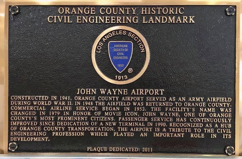
4. ASCE Marker
Located inside the terminal.
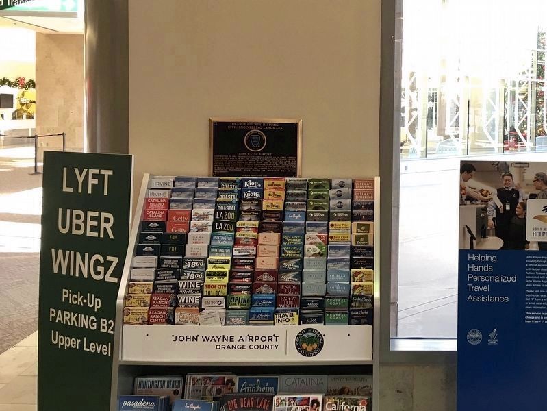
Photographed by Craig Baker, January 5, 2022
5. ASCE Marker
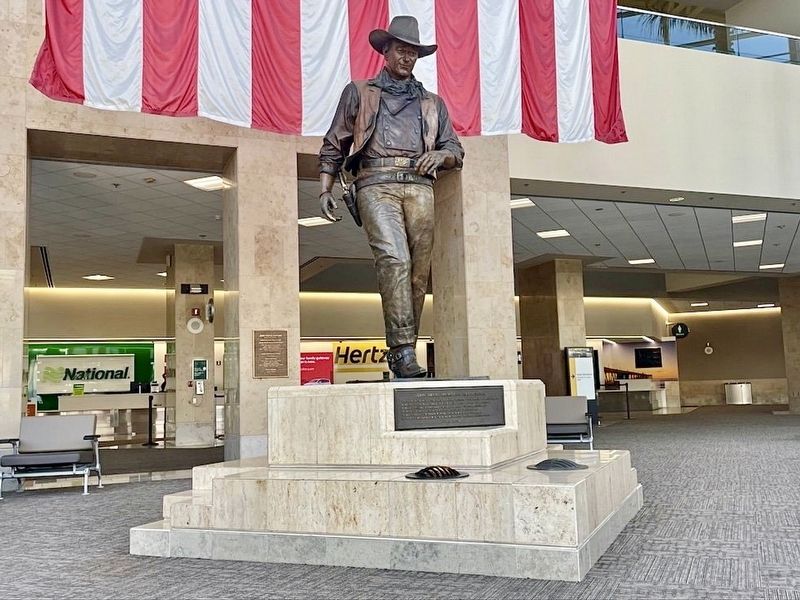
Photographed by Craig Baker, January 5, 2022
6. John Wayne statue

Photographed by Craig Baker, January 5, 2022
7. Hang Glider display
Built by pioneering manufacturer Wills Wing - located in Orange County from 1973 - 2021.
Credits. This page was last revised on April 17, 2025. It was originally submitted on December 19, 2021, by Adam Margolis of Mission Viejo, California. This page has been viewed 1,227 times since then and 58 times this year. Photos: 1, 2. submitted on December 19, 2021, by Adam Margolis of Mission Viejo, California. 3. submitted on April 17, 2025, by Craig Baker of Sylmar, California. 4, 5, 6, 7. submitted on January 6, 2022, by Craig Baker of Sylmar, California. • Devry Becker Jones was the editor who published this page.
