Marker Logo HMdb.org THE HISTORICAL
MARKER DATABASE
“Bite-Size Bits of Local, National, and Global History”
Jarratt in Sussex County, Virginia — The American South (Mid-Atlantic)
 

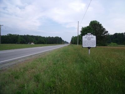
Old Halifax Road


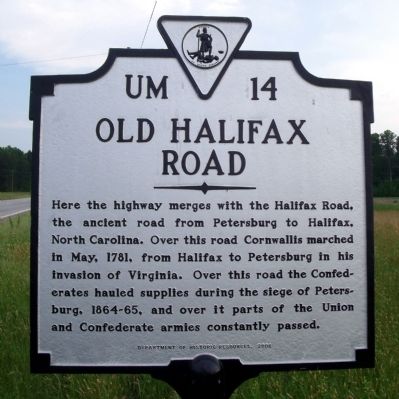
Old Halifax Road Marker image. Click for full size.
Photographed By Bernard Fisher, May 9, 2009
1. Old Halifax Road Marker
Inscription. Here the highway merges with the Halifax Road, the ancient road from Petersburg to Halifax, North Carolina. Over this road Cornwallis marched in May, 1781, from Halifax to Petersburg in his invasion of Virginia. Over this road the Confederates hauled supplies during the siege of Petersburg, 1864-65, and over it parts of the Union and Confederate armies constantly passed.
 
Erected 2008 by Department of Historic Resources. (Marker Number UM-14.)
 
Topics and series. This historical marker is listed in these topic lists: Roads & VehiclesWar, US CivilWar, US Revolutionary. In addition, it is included in the Virginia Department of Historic Resources (DHR) series list. A significant historical month for this entry is May 1781.
 
Location. 36° 48.679′ N, 77° 27.712′ W. Marker is in Jarratt, Virginia, in Sussex County. Marker is on Blue Star Highway (U.S. 301) 0.3 miles north of Henry Road. Touch for map. Marker is in this post office area: Jarratt VA 23867, United States of America. Touch for directions.
 
Other nearby markers. At least 8 other markers are within 9 miles of this marker, measured as the crow flies. Jarratt's Station (approx. 0.3 miles away); Sussex County / Greensville County (approx. 4 miles away); Jones Chapel Methodist Church (approx. 5˝ miles away); Nottoway River Crossings
Paid Advertisement
Click on the ad for more information.
Please report objectionable advertising to the Editor.
Click or scan to see
this page online
(approx. 6.9 miles away); Double Bridges (approx. 7.1 miles away); Hunting Quarter Baptist Church (approx. 8.8 miles away); Greensville County Training School (approx. 8.8 miles away); Memorial League WWI Memorial (approx. 8.8 miles away).
 
Blue Star Highway (facing south) image. Click for full size.
Photographed By Bernard Fisher, May 9, 2009
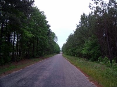
2. Blue Star Highway (facing south)
Old Halifax Road image. Click for full size.
Photographed By Bernard Fisher, May 9, 2009
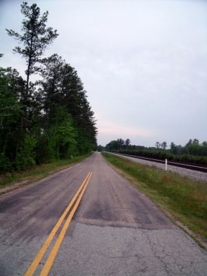
3. Old Halifax Road
Old Halifax Road & RR image. Click for full size.
Photographed By Bernard Fisher, May 9, 2009
4. Old Halifax Road & RR
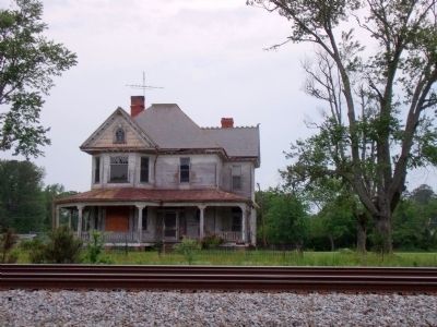
Abandoned House on the Old Halifax Road image. Click for full size.
Photographed By Bernard Fisher, May 9, 2009
5. Abandoned House on the Old Halifax Road
 
 
Credits. This page was last revised on June 16, 2016. It was originally submitted on May 11, 2009, by Bernard Fisher of Richmond, Virginia. This page has been viewed 2,282 times since then and 57 times this year. Photos:   1, 2, 3, 4, 5. submitted on May 11, 2009, by Bernard Fisher of Richmond, Virginia.
Share this page.  
Share on Tumblr
m=18868

CeraNet Cloud Computing sponsors the Historical Marker Database.
This website earns income from purchases you make after using our links to Amazon.com. We appreciate your support.
Paid Advertisement
Apr. 24, 2024