Coto de Caza in Orange County, California — The American West (Pacific Coastal)
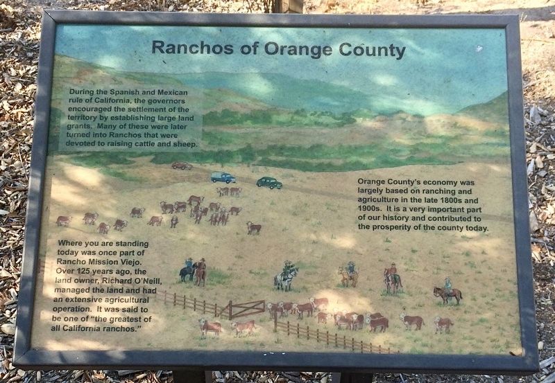
Ranchos of Orange County
During the Spanish and Mexican rule of California, the governors encouraged the settlement of the territory by establishing large land grants. Many of these were later turned into Ranchos that were devoted to raising cattle and sheep.
Orange County's economy was largely based on ranching and agriculture in the late 1800s and 1900s. It is a very important part of our history and contributed to the prosperity of the county today.
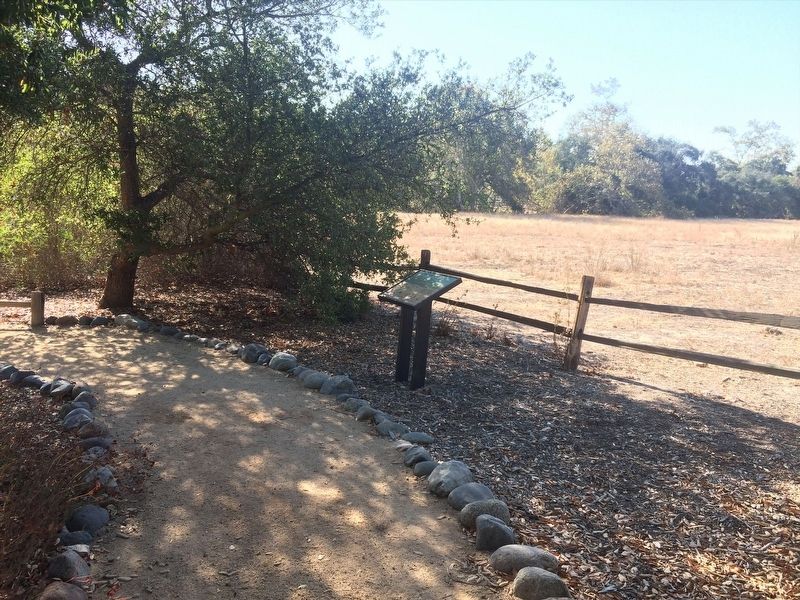
Where you are standing today was once part of Rancho Mission Viejo. Over 125 years ago, the land owner, Richard O'Neill, managed the land and had anextensive agricultural operation. It was said to be one of "the greatest of all California ranchos."
Topics. This historical marker is listed in these topic lists: Agriculture • Hispanic Americans • Industry & Commerce • Settlements & Settlers.
Location. 33° 34.298′ N, 117° 35.586′ W. Marker is in Coto de Caza, California, in Orange County. Marker can be reached from the intersection of Oso Parkway and South Bend Road when traveling north. Touch for map. Marker is at or near this postal address: 30952 Oso Pkwy, Trabuco Canyon CA 92679, United States of America. Touch for directions.
Other nearby markers. At least 8 other markers are within 4 miles of this marker, measured as the crow flies. Who Made This Wagon? (about 300 feet away, measured in a direct line); Oso Parkway Bridge (approx. 2.6 miles away); Sergeant Matt Davis Park (approx. 2.8 miles away); a different marker also named Oso Parkway Bridge (approx. 2.9 miles away); Reese Joseph Imhoff (approx. 3.1 miles away); Topanga Formation (approx. 3.7 miles away); Oso Creek Trail (approx. 3.8 miles away); a different marker also named Oso Creek Trail (approx. 4 miles away).
Credits. This page was last revised on December 29, 2021. It was originally submitted on December 22, 2021, by Adam Margolis of Mission Viejo, California. This page has been viewed 287 times since then and 49 times this year. Photos: 1, 2. submitted on December 22, 2021, by Adam Margolis of Mission Viejo, California. • Devry Becker Jones was the editor who published this page.

