Mission Viejo in Orange County, California — The American West (Pacific Coastal)
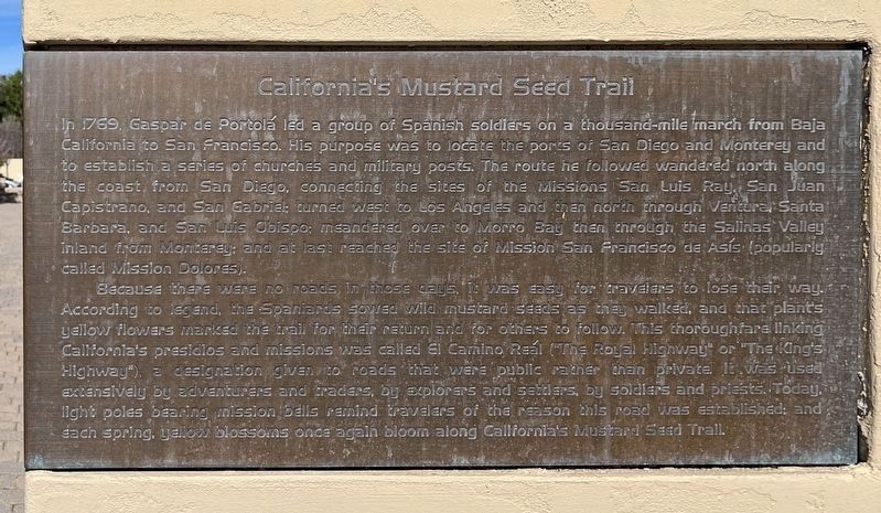
California's Mustard Seed Trail
In 1769 Gasper de Portolá led a group of Spanish soldiers on a thousand-mile march from Baja California to San Francisco. His purpose was to locate the ports of San Diego and Monterey and to establish a series of churches and military posts. The route he followed wandered north along the coast from San Diego, connected the sites of the Missions San Luis Ray, San Juan Capistrano, and San Gabriel; turned west to Los Angeles and then north through the Salinas Valley inland from Monterey; and at last reach the site of Mission San Francisco de Asís (popularly called Mission Dolores).
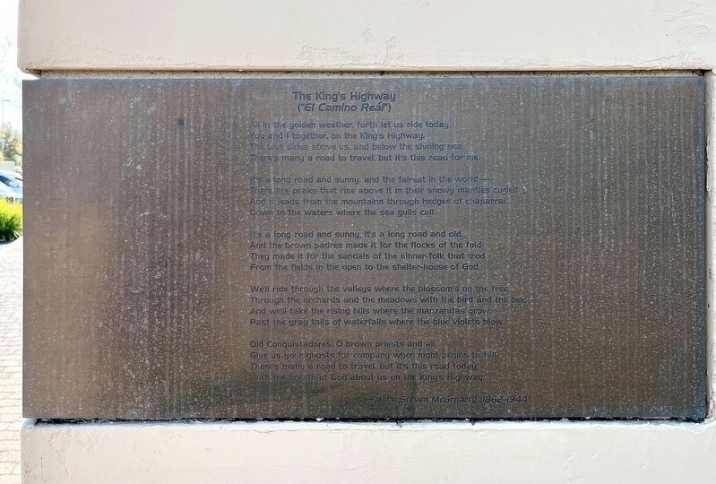
Because there were no roads in those days, it was easy for travelers to lose their way. According to legend, the Spaniards sowed wild mustard seeds as they walked, and that plant’s yellow flowers marked the trail for their return and for others to follow. This thoroughfare linking California's presidios and missions was called El Camino Reál ("The Royal Road" or "The Kings Highway"), a designation given to roads that were public rather than private. It was used extensively by adventurers and traders, by explorers and settlers, by soldiers and priests. Today, light poles bearing mission bells remind travelers of the reason this road was established; and each spring, yellow blossoms once again bloom along California Mustard Seed Trail.
Topics and series. This historical marker is listed in these topic lists: Exploration • Hispanic Americans • Roads & Vehicles • Settlements & Settlers. In addition, it is included in the El Camino Real, “The King's Highway” (California) series list. A significant historical year for this entry is 1769.
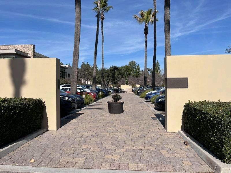
Location. 33° 35.764′ N, 117° 39.578′ W. Marker is in Mission Viejo, California, in Orange County. Marker can be reached from Civic Center just west of Marguerite Parkway, on the right when traveling west. Touch for map. Marker is at or near this postal address: 200 Civic Center, Mission Viejo CA 92692, United States of America. Touch for directions.
Other nearby markers. At least 8 other markers are within walking distance of this marker. Megan M. McClung (here, next to this marker); Daniel J. Santee (a few steps from this marker); Quoc Binh "Bo" Tran (a few steps from this marker); Colonel Aaron Bank (within shouting distance of this marker); September 11, 2001 (within shouting distance of this marker); Jason D. Peto (within shouting distance of this marker); First Marine Division (within shouting distance of this marker); Library Rose Garden (within shouting distance of this marker). Touch for a list and map of all markers in Mission Viejo.
Regarding California's Mustard Seed Trail. Historians today believe the legend of the Mustard Seed Trail is probably not true. Mustard plants could not mark a trail because they spread rapidly across the landscape, and the yellow blooms are only seen for a short time each spring.
Credits. This page was last revised on February 7, 2023. It was originally submitted on December 22, 2021, by Adam Margolis of Mission Viejo, California. This page has been viewed 1,564 times since then and 255 times this year. Photos: 1, 2, 3. submitted on February 4, 2023, by Adam Margolis of Mission Viejo, California. • Devry Becker Jones was the editor who published this page.


