San Augustine in San Augustine County, Texas — The American South (West South Central)
A Snapshot In Time?/¿Una instantánea en el tiempo?
Lobanillo Swales
Inscription.
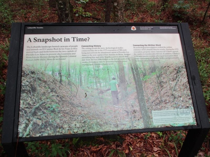
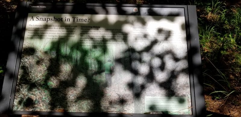
The Lobanillo landscape hosted caravans of people and animals on El Camino Real de los Tejas as they moved back and forth between the two capitals of Presidio Los Adaes in present-day Louisiana and Monclova in Mexico during the Spanish Colonial Period (1690-1821). How do we know?
Connecting History
The setting reveals the story. Archeological studies connected this site to the 1773 evacuation of 500 souls being moved from the abandoned capital of Presidio Los Adaes to the new capital of San Antonio dé Bexar. Imagine unearthing blue and white Majolica pottery sherds that date from 1675 to 1800. Found on the hilltop south swales, these pieces may be associated with the paraje (resting spot) that refugees used.
Connecting the Written Word
An archeological investigation verified the written existence of El Lobanillo Rancho nearby. During the 1773 evacuation, property owner Antonio Gil Y'Barbo's 1794 land transfer records referenced two Camino Real routes converging at Lobanillo Swales, as represented by the deep U-shaped depressions.
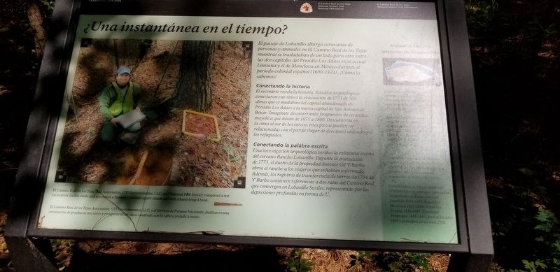
El paisaje de Lobanillo albergó caravanas de personas y animales en El Camino Real de los Tejas mientras se trasladaban de un lado a otro entre las dos capitales de Presidio Los Adaes en la actual Luisiana y Monclova en México durante el Período Colonial Español (1690-1821). ¿Como sabemos?
Conectando la historia
El escenario revela la historia. Estudios arqueológicos conectaron este sitio con la evacuación en 1773 de 500 almas que se mudaban del capital abandonado de Presidio Los Adaes a la nueva capital de San Antonio dé Bexar. Imagínese desenterrando fragmentos de cerámica mayólica que datan de 1675 a 1800. Descubiertas en la cima al sur de los surcos, estas piezas pueden ser relacionadas con el paraje (lugar de descanso)utilizado por las refugiados.
Conectando la palábra escrita
Una investigación arqueológica verificó la existencia escrita del cercano Rancho Lobanillo. Durante la evacuación de 1773, el dueño de la propiedad Antonio Gil Y'Barbo abrió el rancho a los viajeros que se habian enfermado. Además, los registros de transeremcia de tierras de 1794 de Y'Barbo contienen referencia a dos rutas del Camino Real que convergen en Lobanillo Swales, representado por las depresiones profundas en forma de U.
Erected by National Park Service, El Camino de los Tejas National Historic Trail Association.
Topics. This historical marker is listed in these topic lists: Colonial Era • Roads & Vehicles.
Location. 31° 28.67′
N, 93° 56.961′ W. Marker is in San Augustine, Texas, in San Augustine County. Marker can be reached from State Highway 21 east of Farm to Market Road 3448, on the right when traveling east. Touch for map. Marker is in this post office area: San Augustine TX 75972, United States of America. Touch for directions.
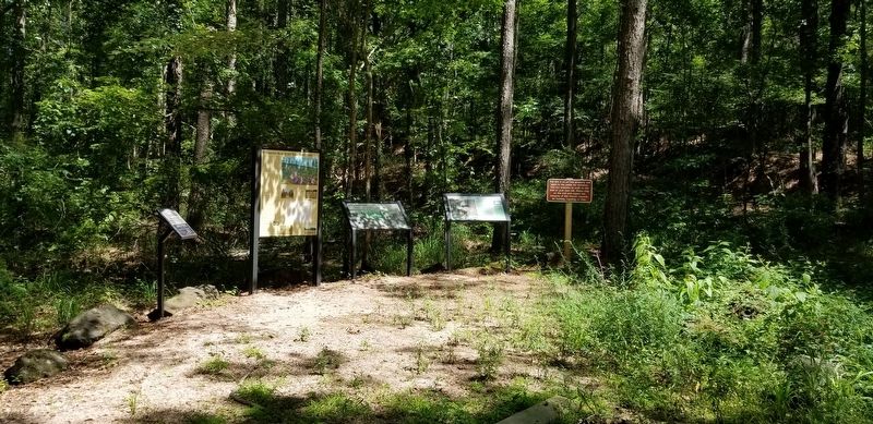
Other nearby markers. At least 8 other markers are within 5 miles of this marker, measured as the crow flies. El Camino Real de los Tejas 1680-1845 (a few steps from this marker); County Line Baptist Church and Cemetery (approx. ¼ mile away); Two Miles Southeast to McMahan's Chapel (approx. 1½ miles away); McMahan's Chapel (approx. 1.8 miles away); a different marker also named McMahan's Chapel (approx. 1.8 miles away); Kings Highway Camino Real — Old San Antonio Road (approx. 1.9 miles away); El Lobanillo (approx. 1.9 miles away); Chapel Hill Cemetery (approx. 4.2 miles away). Touch for a list and map of all markers in San Augustine.
Credits. This page was last revised on April 28, 2023. It was originally submitted on December 23, 2021, by Cajun Scrambler of Assumption, Louisiana. This page has been viewed 128 times since then and 6 times this year. Photos: 1. submitted on April 27, 2023, by Jeff Leichsenring of Garland, Texas. 2, 3, 4. submitted on December 23, 2021, by Cajun Scrambler of Assumption, Louisiana.


