San Augustine in San Augustine County, Texas — The American South (West South Central)
El Camino Real de los Tejas 1680-1845
Lobanillo Swales
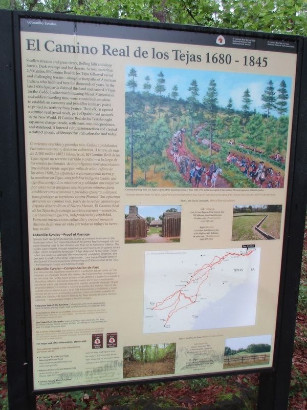
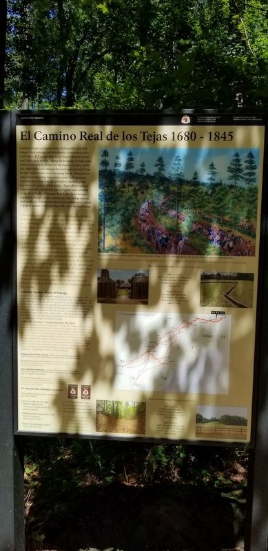
Swollen streams and great rivers. Rolling hills and deep forests. Dark swamps and hot deserts. Across more than 2,500 miles, El Camino Real de los Tejas followed varied and challenging terrain-along the footpaths of American Indians who had lived here for thousands of years. In the late 1600s Spaniards claimed this land and named it Tejas for the Caddo Indian word meaning friend. Missionaries and soldiers traveling time-worn routes built missions to establish an economy and presidios (military posts) to protect its territory from France. Their efforts opened a camino real (royal road), part of Spain's road network in the New World. El Camino Real de los Tejas brought expansive change-trade, settlement, war, independence, and statehood. It fostered cultural interactions and created a distinct mosaic of lifeways that still colors the land today.
Corrientes crecidos y grandes ríos. Colinas ondulantes. Pantanos oscuros y desiertos calurosos. A través de más de 2,500 millas (4023 kilómetros), El Camino Real de los Tejas siguió un terreno variado y arduo-a lo largo de las sendas peatonales de los indigenas norteamericanos que habían vivido aquí por miles de años. A fines de los años 1600, los españoles reclamaron esta tierra y la nombraron Tejas, una palabra indigena Caddo que significa amigo. Los misioneros y soldados que viajaron por estas rutas antiguas construyeron misiones para establecer una economía y presidios (puestos militares) para proteger su territorio contra Francia. Sus esfuerzos i abrieron un camino real, parte de la red de caminos que España desarrolló en el Nuevo Mundo. El Camino Real de los Tejas trajo consigo cambios extensos-comercio, asentamientos, guerra, independencia y estadidad. Fomentó interacciones culturales y creó un mosaico distinto de formas de vida que todavia influye la tierra hoy en día.
Lobanillo Swales Proof of Passage
Spanish texts recognized Lobanillo Swales as a historic landmark on the landscape where two main branches of El Camino Real converged into one route heading west to San Antonio and then on to Monclova, Mexico. The swales were created through repeated use and travel over an upland terrace ridge, which incised the landscape 18-feet deep and 12-feet wide. Today, when one walks up and sees the monumental, undulating landmark, and proceeds to walk in the deep, wide swales...one has a palpable sense of the Spanish Colonial experience of traveling on El Camino Real de los Tejas. - Archaeologists Sergio and Melinda Iruegas
Lobanillo Swales—Comprobación de Paso
Los documentos españoles reconocieron a Lobanillo Swales cotno un hito histórico en el paisaje donde dos ramales de El Camino Real convergieron en una rota con rumbo hacia el oeste a San Antonio y luego continuando Monclova, México. Los surcos fueron creados por el use y movimiento constante sobre una elevada terraza de crestas, cortando el paisaje 78 pies de profundidad (5.5 metros) y 12 pies de ancho (3.6 metros). Hoy en dia, cuando uno se acerca a pie y ye el hito monumental y ondulanre, y luego camina en los surcos profundos y anchos... tiene un sentido palpable de cómo era viajar por El Camino Real de los Tejas durante la época colonial Española. - Arqueólogos Sergio y Melinda lruegas
Erected by National Park Service, El Camino de los Tejas National Historic Trail Association.
Topics. This historical marker is listed in these topic lists: Colonial Era • Roads & Vehicles.
Location. 31° 28.662′ N, 93° 56.957′ W. Marker is in San Augustine, Texas, in San Augustine County. Marker can be reached from State Highway 21 east of Farm to Market Road 3448, on the right when traveling west. Touch for map. Marker is in this post office area: San Augustine TX 75972, United States of America. Touch for directions.
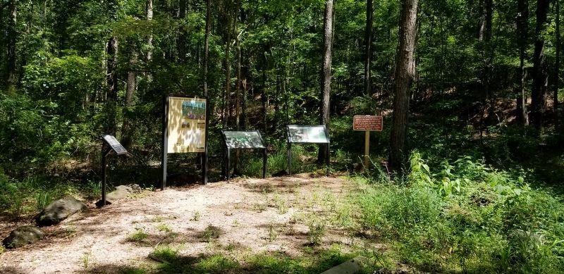
Other nearby markers. At least 8 other markers are within 5 miles of this marker, measured as the crow flies. A Snapshot In Time?/¿Una instantánea en el tiempo? (a few steps from this marker); County Line Baptist Church and Cemetery (approx. ¼ mile away); Two Miles Southeast to McMahan's Chapel (approx. 1½ miles away); McMahan's Chapel (approx. 1.8 miles away); a different marker also named McMahan's Chapel (approx. 1.8 miles away); Kings Highway Camino Real — Old San Antonio Road (approx. 1.9 miles away); El Lobanillo (approx. 1.9 miles away); Chapel Hill Cemetery (approx. 4.2 miles away). Touch for a list and map of all markers in San Augustine.
Credits. This page was last revised on April 28, 2023. It was originally submitted on December 23, 2021, by Cajun Scrambler of Assumption, Louisiana. This page has been viewed 277 times since then and 11 times this year. Photos: 1. submitted on April 27, 2023, by Jeff Leichsenring of Garland, Texas. 2, 3. submitted on December 23, 2021, by Cajun Scrambler of Assumption, Louisiana.


