Southwest Quadrant in Alexandria, Virginia — The American South (Mid-Atlantic)
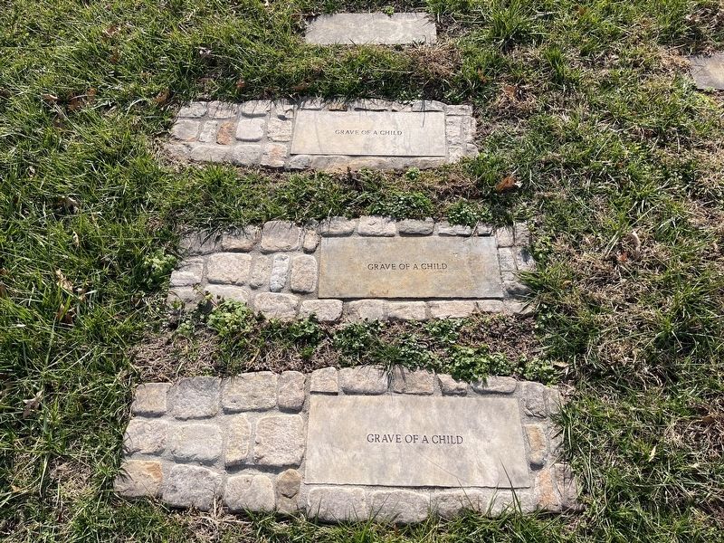
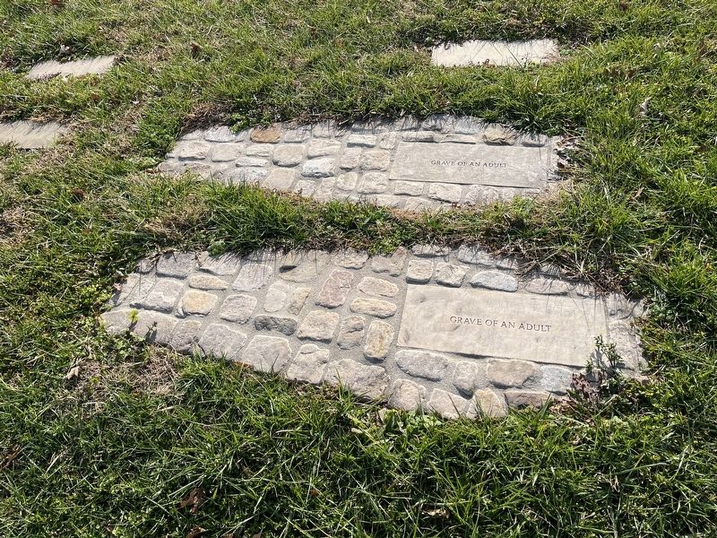
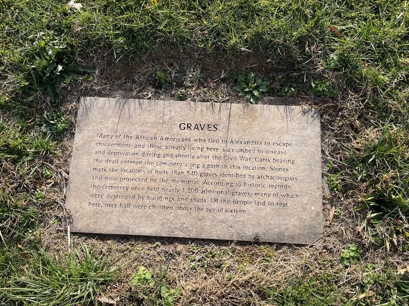
Graves
Topics. This historical marker is listed in these topic lists: African Americans • Anthropology & Archaeology • Cemeteries & Burial Sites • War, US Civil.
Location. 38° 47.662′ N, 77° 2.97′ W. Marker is in Alexandria, Virginia. It is in the Southwest Quadrant. Marker can be reached from South Washington Street just south of Church Street, on the right when traveling south. Touch for map. Marker is at or near this postal address: 1001 S Washington St, Alexandria VA 22314, United States of America. Touch for directions.
Other nearby markers. At least 8 other markers are within walking distance of this marker. Contrabands and Freedmen Cemetery Memorial (a few steps from this marker); 1955 Gas Station (a few steps from this marker); Welcome to Contrabands and Freedmen Cemetery Memorial (a few steps from this marker); Former USCT Burial Ground (within shouting distance of this marker); Graves Under South Washington Street (within shouting distance of this marker); Freedmen’s Cemetery (within shouting distance of this marker); Corner of Building Erected in 1960 (within shouting distance of this marker); First Catholic Church in Virginia (within shouting distance of this marker). Touch for a list and map of all markers in Alexandria.

Photographed By Devry Becker Jones (CC0), December 24, 2021
3. Some of the graves which have been labeled

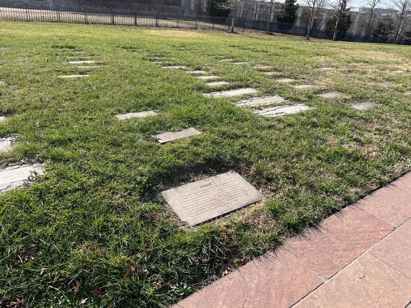
Photographed By Devry Becker Jones (CC0), December 24, 2021
4. Some more of the graves which have been labeled
Credits. This page was last revised on January 27, 2023. It was originally submitted on December 24, 2021, by Devry Becker Jones of Washington, District of Columbia. This page has been viewed 118 times since then and 13 times this year. Photos: 1, 2, 3, 4. submitted on December 24, 2021, by Devry Becker Jones of Washington, District of Columbia.

