Southwest Quadrant in Alexandria, Virginia — The American South (Mid-Atlantic)
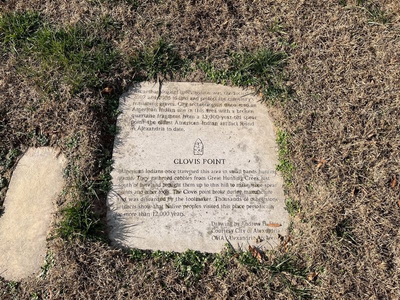
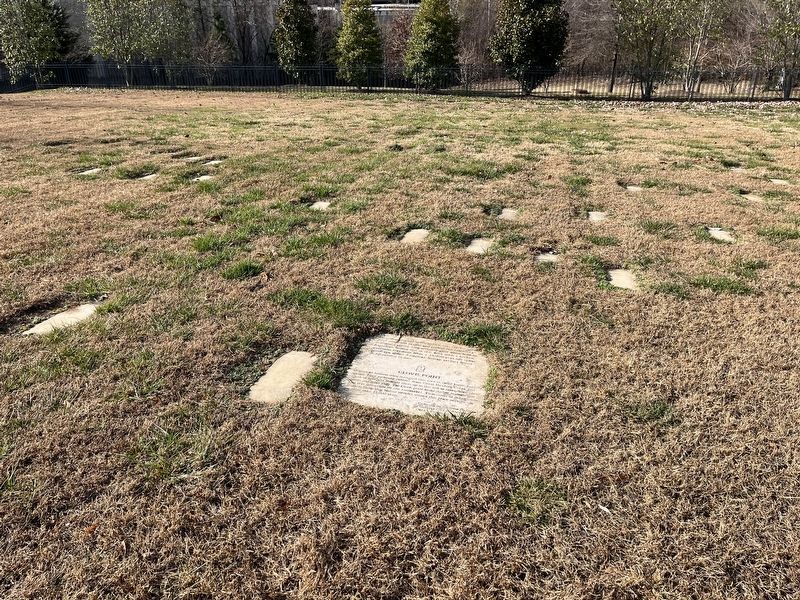
Clovis Point
An archeological investigation was conducted in 2007 and 2008 to find and protect the cemetery's remaining graves. City archaeologists discovered an American Indian site in this area with a broken quartzite fragment fro a 13,000-year-old spear point—the oldest American Indian artifact found in Alexandria to date.
American Indians once traversed this area in small bands hunting game. They gathered cobbles from Great Hunting Creek just south of here and brought them up to this hill to make stone spear points and other tools. The Clovis point broke during manufacture and was discarded by the toolmaker. Thousands of other stone artifacts show that Native peoples visited this place periodically for more than 12,000 years.
Topics. This historical marker is listed in these topic lists: Anthropology & Archaeology • Native Americans. A significant historical year for this entry is 2007.
Location. 38° 47.668′ N, 77° 3.012′ W. Marker is in Alexandria, Virginia. It is in the Southwest Quadrant. Marker can be reached from South Washington Street south of Church Street, on the right when traveling south. Touch for map. Marker is at or near this postal address: 1001 S Washington St, Alexandria VA 22314, United States of America. Touch for directions.
Other nearby markers. At least 8 other markers are within walking distance of this marker. Corner of Building Erected in 1960 (here, next to this marker); a different marker also named Corner of Building Erected in 1960 (a few steps from this marker); Contrabands and Freedmen Cemetery Memorial (within shouting distance of this marker); 1955 Gas Station (within shouting distance of this marker); Welcome to Contrabands and Freedmen Cemetery Memorial (within shouting distance of this marker); Former USCT Burial Ground (within shouting distance of this marker); Graves (within shouting distance of this marker); Freedmen’s Cemetery (within shouting distance of this marker). Touch for a list and map of all markers in Alexandria.
Credits. This page was last revised on January 27, 2023. It was originally submitted on December 24, 2021, by Devry Becker Jones of Washington, District of Columbia. This page has been viewed 249 times since then and 32 times this year. Photos: 1, 2. submitted on December 24, 2021, by Devry Becker Jones of Washington, District of Columbia.

