Brightwood in Northwest Washington in Washington, District of Columbia — The American Northeast (Mid-Atlantic)
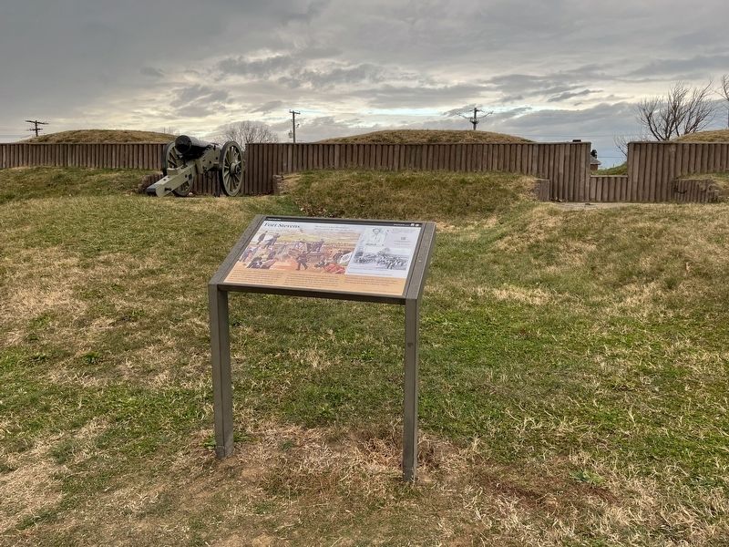
Fort Stevens
Rock Creek Park
| — | National Park Service, U.S. Department of the Interior | — |
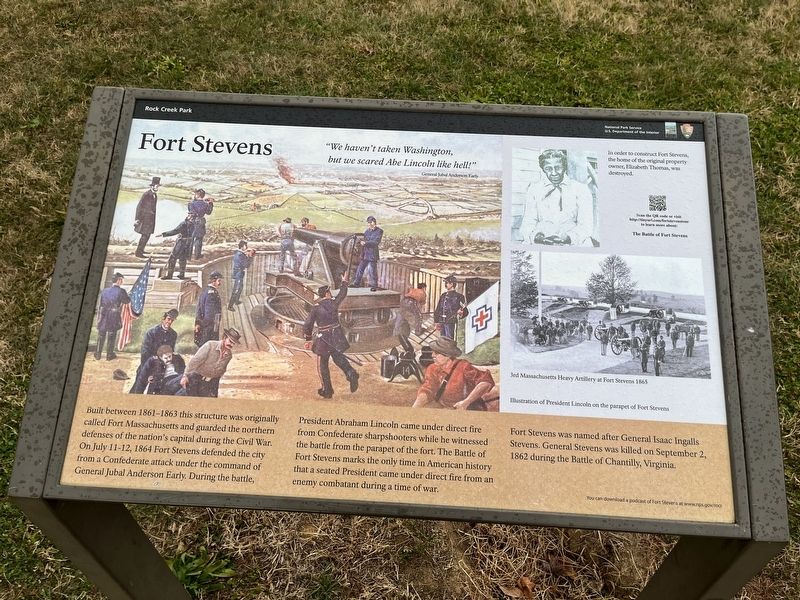
"We haven't taken Washington, but we scared Abe Lincoln like hell!"
General Jubal Anderson Early
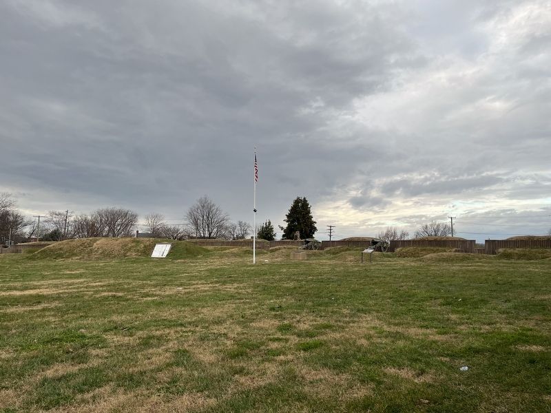
Built between 1861-1863 this structure was originally called Fort Massachusetts and guarded the northern defenses of the nation's capital during the Civil War. On July 11-12, 1864 Fort Stevens defended the city from a Confederate attack under the command of General Jubal Anderson Early. During the battle, President Abraham Lincoln came under direct fire from Confederate sharpshooters while he witnessed the battle from the parapet of the fort. The Battle of Fort Stevens marks the only time in American history that a seated President came under direct fire from an enemy combatant during a time of war.
Fort Stevens was named after General Isaac Ingalls Stevens. General Stevens was killed on September 2, 1862 during the Battle of Chantilly, Virginia.
[Sidebar:]
In order to construct Fort Stevens, the home of the original property owner, Elizabeth Thomas was destroyed.
Erected by National Park Service, U.S. Department of the Interior.
Topics and series. This historical marker is listed in these topic lists:
this page online
Location. 38° 57.866′ N, 77° 1.736′ W. Marker is in Northwest Washington in Washington, District of Columbia. It is in Brightwood. It is on Quakenbos Street Northwest just east of 13th Street Northwest, on the right when traveling west. Touch for map. Marker is at or near this postal address: 6001 13th St NW, Washington DC 20011, United States of America. Touch for directions.

Regionally, this marker is in the Washington Metropolitan Area. It is also in the American Northeast, in the Upper South, in the Mid-Atlantic, in the Tidewater, and in the Chesapeake Bay Region. Globally, it is in North America, the Western Hemisphere, the Western World, and the Anglosphere.
Other nearby markers. At least 8 other markers are within walking distance of this marker: Scale Model of Fort Stevens (a few steps from this marker); Lincoln Under Fire at Fort Stevens (a few steps from this marker); “Get Down You Fool” (about 300 feet away, measured
Other markers no longer nearby. Fort Stevens (has been replaced with this marker); a different marker also named The Rock on Brightwood Avenue (was about 400 feet away but has been reported to have been replaced with another marker now near it); Park and Shop! (was about 600 feet away but has been confirmed missing).
Related marker. Click here for another marker that is related to this marker. This marker has replaced the linked marker which has slightly different text in the sidebar.
Also see . . . Fort Stevens (National Park Service). (Submitted on December 1, 2025, by Mike McKeown of Baltimore, Maryland.)
Credits. This page was last revised on December 1, 2025. It was originally submitted on December 25, 2021, by Devry Becker Jones of Washington, District of Columbia. This page has been viewed 686 times since then and 65 times this year. Photos: 1, 2, 3. submitted on December 25, 2021, by Devry Becker Jones of Washington, District of Columbia.
