
Historic District in St. Augustine in St. Johns County, Florida — The American South (South Atlantic)
Ancient Civilization Uncovered!
Photographed by Cosmos Mariner, December 16, 2021
1. Ancient Civilization Uncovered! Marker
this page online
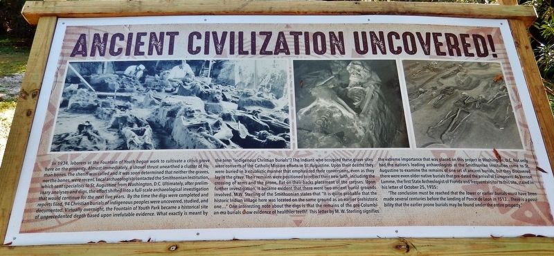
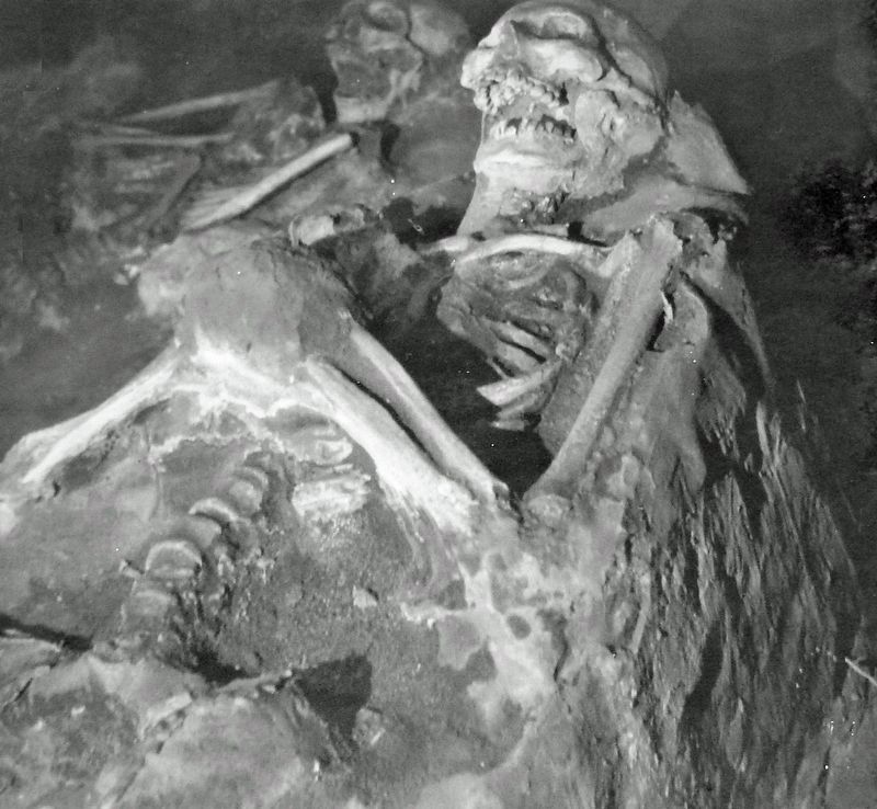
"The conclusion must be reached that the lower or earlier burials must have been made several centuries before the landing of Ponce de Leon in 1513... There is a possibility that the earlier prone burials may be found under the entire property."
Topics.
2. Marker photo
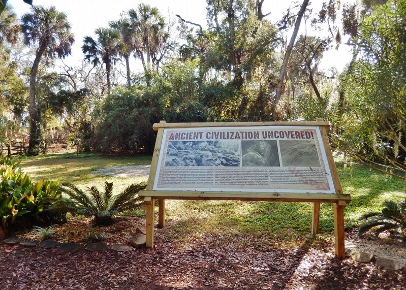
Location. 29° 54.397′ N, 81° 18.931′ W. Marker is in St. Augustine, Florida, in St. Johns County. It is in the Historic District. It can be reached from Williams Street east of Magnolia Avenue. Marker is located along the interpretive trail in Ponce de León's Fountain of Youth Archaeological Park. Touch for map. Marker is at or near this postal address: 11 Magnolia Avenue, Saint Augustine FL 32084, United States of America. Touch for directions.

Regionally, this marker is in First Coast and in Greater Jacksonville. It is also in the American South and on the Eastern Seaboard. Globally, it is in the North Atlantic Region, North America, a Gulf of Mexico state, the Western Hemisphere, the Western World, and the Anglosphere. Historically, it finds itself in what was once New Spain, the territory of the Mississippian Culture, one of the Confederate States of America, and the Antebellum
3. Marker photo
Other nearby markers. At least 8 other markers are within walking distance of this marker: Coontie (a few steps from this marker); 1565 Menendez (a few steps from this marker); 1513 La Florida (a few steps from this marker); Juan Ponce (a few steps from this marker); 4,000 BC (a few steps from this marker); Spanish Cannon (a few steps from this marker); Tabby / Coquina (a few steps from this marker); Spanish Bayonet (a few steps from this marker). Touch for a list and map of all markers in St. Augustine.
Related markers. Click here for a list of markers that are related to this marker. Ponce de León's Fountain of Youth Archaeological Park
Also see . . . The Nombre de Dios Mission Sites.
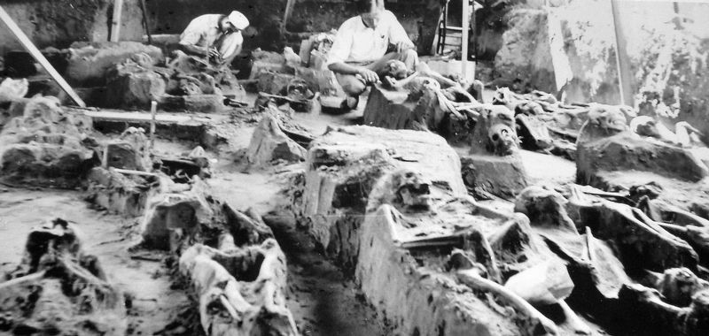
In 1934, a gardener who was planting orange trees on the grounds of the Fountain of Youth Park discovered human burials, laid out in the Christian fashion. The owner of the site, Walter B. Fraser, contacted the Smithsonian Institution, and archaeologist J. Ray Dickson subsequently conducted extensive excavations there. Archaeological work since 1934 has shown that the initial site of the Nombre de Dios mission church was in(Submitted on December 27, 2021, by Cosmos Mariner of Cape Canaveral, Florida.)the southwestern section of what is today the Fountain of Youth Park, about 165 meters southwest of the Menendez settlement area.Photographed by Cosmos Mariner, December 16, 20214. Ancient Civilization Uncovered! Marker
Another group of burials was uncovered by University of Florida student Paul Hahn in 1953, located about 20 meters to the south of the group discovered in 1934. These were also Christian interments, however they were buried facing north, unlike the first group of Christian burials excavated by Dickson, which were facing east.
Credits. This page was last revised on December 29, 2021. It was originally submitted on December 26, 2021, by Cosmos Mariner of Cape Canaveral, Florida. This page has been viewed 447 times since then and 38 times this year. Photos: 1, 2, 3, 4. submitted on December 27, 2021, by Cosmos Mariner of Cape Canaveral, Florida.
