St. Simons Island in Glynn County, Georgia — The American South (South Atlantic)
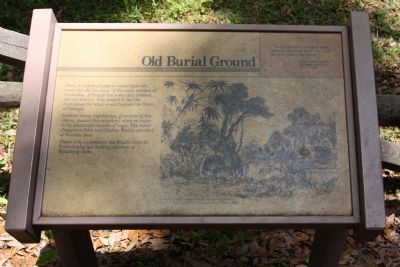
Frederica - Old Burial Ground
" This Frederica is a very strange place; it was once a town - the town, the metropolis of the island." Francis Anne Kemble Visitor to Frederica 1839
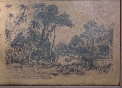
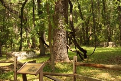
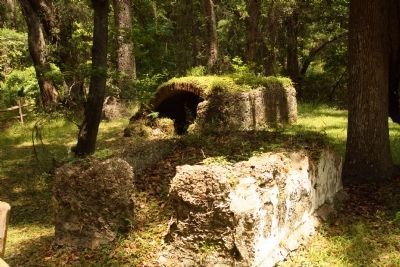
Here, in unknown graves more than two centuries old, lie many of the early settlers of Frederica. Although the town they created did not survive, they helped to lay the foundation for what would become the State of Georgia.
General James Oglethorpe, governor of the colony, passed this cemetery often en route to his plantation outside of town. The noted Clergymen John and Charles Wesley presided at funerals here.
Please help to preserve the fragile ruins at Frederica by not walking on them or disturbing them.
Erected by National Park Service.
Topics. This historical marker is listed in these topic lists: Cemeteries & Burial Sites • Colonial Era • Landmarks • Settlements & Settlers. A significant historical year for this entry is 1839.
Location. 31° 13.414′ N, 81° 23.318′ W. Marker is on St. Simons Island, Georgia, in Glynn County. Marker can be reached from Frederica Drive. At Fort Frederica National Monument. Touch for map. Marker is in this post office area: Saint Simons Island GA 31522, United States of America. Touch for directions.
Other nearby markers. At least 8 other markers are within walking distance of this marker. Frederica - Military Road (a few steps from this marker); The World Is My Parish (within shouting distance of this marker); Strong Walls From Refuse (within shouting distance of this marker); Fort Frederica (within shouting distance of this marker); The Defender (about 400 feet away, measured in a direct line); Broad Street (about 400 feet away); The Town Wall (about 500 feet away); Frederica (about 500 feet away). Touch for a list and map of all markers in St. Simons Island.
Credits. This page was last revised on November 23, 2020. It was originally submitted on May 12, 2009, by Mike Stroud of Bluffton, South Carolina. This page has been viewed 954 times since then and 17 times this year. Photos: 1, 2, 3, 4. submitted on May 12, 2009, by Mike Stroud of Bluffton, South Carolina. • Craig Swain was the editor who published this page.


