Near Burwell in Loup County, Nebraska — The American Midwest (Upper Plains)
Valleyview
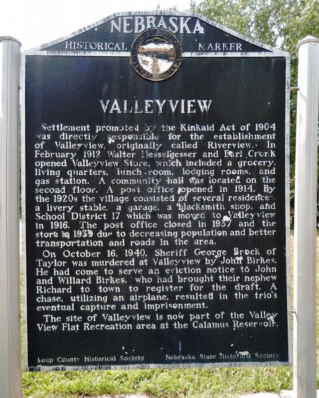
Settlement promoted by the Kinkaid Act of 1904 was directly responsible for the establishment of Valleyview, originally called Riverview. In February 1912 Walter Hesselgesser and Earl Cronk opened Valleyview Store, which included a grocery, living quarters, lunch room, lodging rooms, and gas station. A community hall was located on the second floor. A post office opened in 1914. By the 1920s the village consisted of several residences, a livery stable, a garage, a blacksmith shop, and School District 17 which was moved to Valleyview in 1916. The post office closed in 1937 and the store in 1939 due to decreasing population and better transportation and roads in the area.
On October 16, 1940, Sheriff George Brock of Taylor was murdered at Valleyview by John Birkes. He had come to serve an eviction notice to John and Willard Birkes, who had brought their nephew Richard to town to register for the draft. A chase, utilizing an airplane, resulted in the trio’s eventual capture and imprisonment.
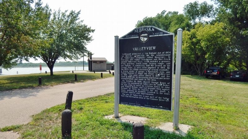
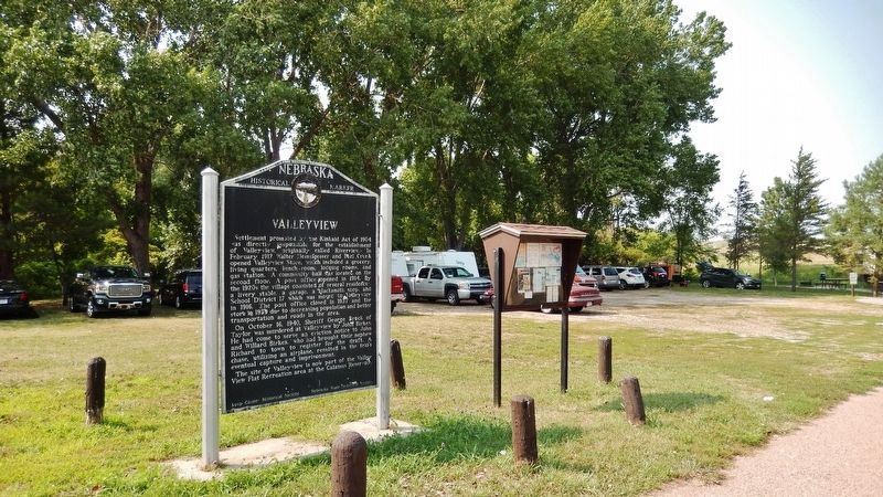
The site of Valleyview is now part of the Valley View Flat Recreation area at the Calamus Reservoir.
Erected by Loup County Historical Society; and Nebraska State Historical Society. (Marker Number 320.)
Topics and series. This historical marker is listed in these topic lists: Law Enforcement • Parks & Recreational Areas • Settlements & Settlers. In addition, it is included in the Nebraska State Historical Society series list. A significant historical month for this entry is February 1912.
Location. 41° 54.447′ N, 99° 17.968′ W. Marker is near Burwell, Nebraska, in Loup County. Marker can be reached from State Highway 96, 5.6 miles east of U.S. 183, on the right when traveling east. Marker is located near the boat ramp at the west end of the Valleyview Flat parking lot at Calamus Reservoir State Recreation Area. Touch for map. Marker is in this post office area: Burwell NE 68823, United States of America. Touch for directions.
Other nearby markers. At least 8 other markers are within 13 miles of this marker, measured as the crow flies. The Calamus Valley (approx. 6.8 miles away); The North Loup Project (approx. 6.8 miles away); Harrop (approx. 10.9 miles away); Railroad Turntable (approx. 11.9 miles away); First Settlers in Garfield (approx. 12.1 miles away); Garfield County (approx. 12.2 miles away); The Pebble Creek Fight (approx. 12.4 miles away); The Easter Blizzard of 1873 (approx. 12.4 miles away). Touch for a list and map of all markers in Burwell.
Also see . . . Kinkaid Act. Wikipedia entry (Submitted on November 8, 2022, by Larry Gertner of New York, New York.)
Credits. This page was last revised on November 8, 2022. It was originally submitted on January 1, 2022, by Cosmos Mariner of Cape Canaveral, Florida. This page has been viewed 220 times since then and 20 times this year. Photos: 1, 2, 3. submitted on January 1, 2022, by Cosmos Mariner of Cape Canaveral, Florida.


