
Whitehall in Columbus in Franklin County, Ohio — The American Midwest (Great Lakes)
The Underground Railroad
The Historic National Road in Ohio
Photographed by Rev. Ronald Irick, July 5, 2016
1. The Historic National Road in Ohio Marker
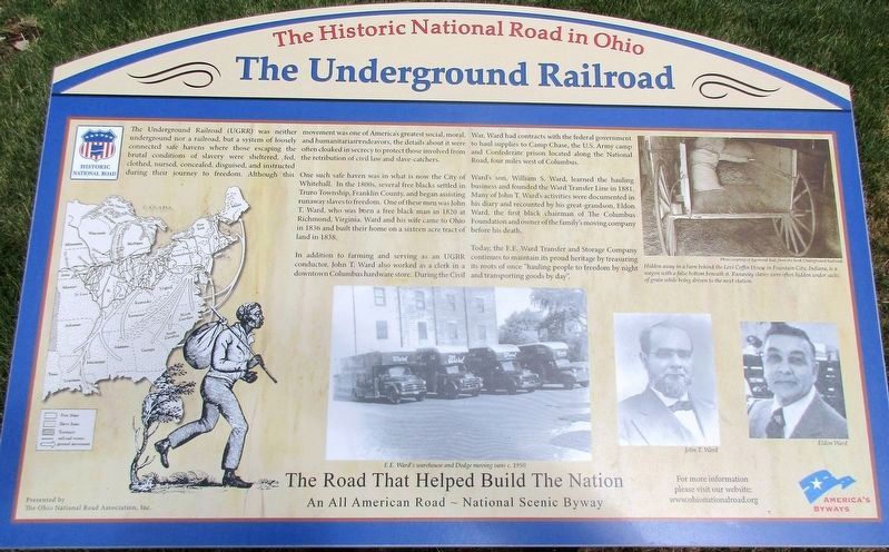
The Underground Railroad (UGRR) was neither underground nor a railroad, but a system of loosely connected safe havens where those escaping the brutal conditions of slavery were sheltered, fed, clothed, nursed, concealed, disguised, and instructed during their journey to freedom. Although this movement was one of America’s greatest social, moral, and humanitarian endeavors, the details about it were often cloaked in secrecy to protect those involved from the retribution of civil law and slave catchers.
One such safe haven was in what is now the City of Whitehall. In the 1800’s, several free blacks settled in Truro Township, Franklin County, and began assisting runaway slaves to freedom. One of these men was John T. Ward, who was born a free black man in 1820 at Richmond, Virginia. Ward and his wife came to Ohio in 1836 and built their home on a sixteen acre tract of land in 1838.
In addition to farming and serving as an UGRR conductor, John T. Ward also worked as a clerk in a downtown Columbus hardware store. During the Civil War, Ward had contracts with the federal government to haul supplies to Camp Chase, the
this page online
Ward’s son, William S. Ward, learned the hauling business and founded the Ward Transfer Line in 1881. Many of John T. Ward’s activities were documented in his diary and recounted by his great-grandson, Eldon Ward, the first black chairman of the Columbus Foundation and owner of the family’s moving company before his death.
Today, the E. E. Ward Transfer and Storage Company continues to maintain its proud heritage by treasuring its roots of once “hauling people to freedom by night and transporting goods by day”.
Erected 2015 by The Ohio National Road Association, Inc.
Topics and series. This historical marker is listed in these topic lists: Abolition & Underground RR • Industry & Commerce • Roads & Vehicles • Settlements & Settlers. In addition, it is included in the The Historic National Road series list.
Location. 39° 57.331′ N, 82° 52.391′ W. Marker is in Columbus, Ohio, in Franklin County. It is in Whitehall. It is at the intersection of East Main Street
Photographed by Rev. Ronald Irick, July 5, 2016
2. The Historic National Road in Ohio Marker
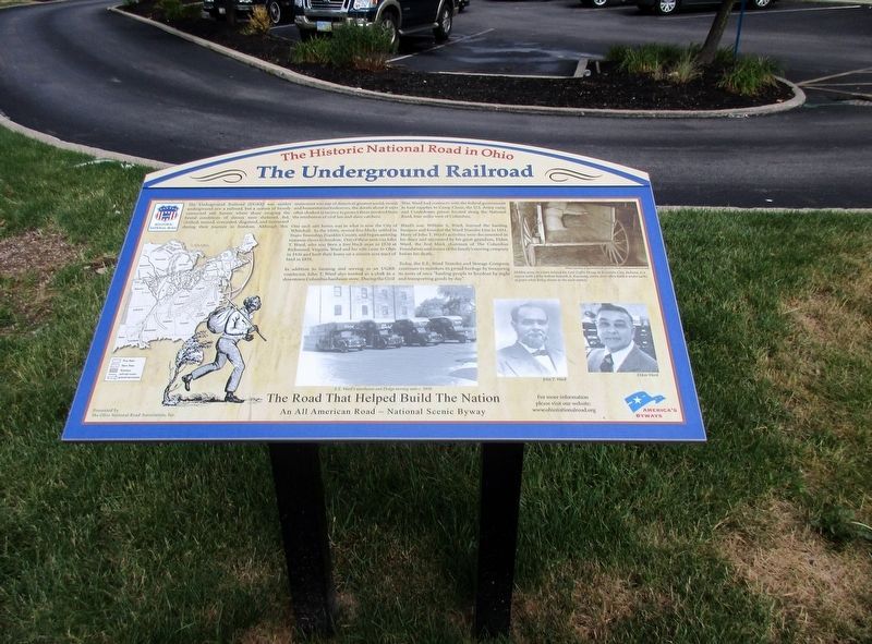
Full view of marker

Regionally, this marker is in Ohio’s Scioto Valley. It is also in the American Midwest and in the Corn Belt. Globally, it is in North America, the Western Hemisphere, the Western World, and the Anglosphere. Historically, it finds itself in what was once the Haudenosaunee (Iroquois) Confederacy, the territory of the Mississippian Culture, and the Northwest Territory.
Other nearby markers. At least 8 other markers are within 3 miles of this marker, measured as the crow flies: Norton Field (approx. 1½ miles away); Whitehall Tavern (approx. 1.6 miles away); Columbus Depot (approx. 1.7 miles away); Livingston Heights Place / Dr. Roberto Villalon (1925-2008) (approx. 1.8 miles away); Original Port Columbus Airport Terminal (approx. 2.2 miles away); Forest Lawn Veterans Memorial (approx. 2.3 miles away); A Brief History of Eastmoor / Eastmoor Polo Field
Photographed by Rev. Ronald Irick, July 5, 2016
3. The Historic National Road in Ohio Marker
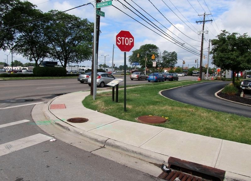
Marker at a distance, NW corner of Rosemore at East Main, Old Rt 40; the National Road
Additional keywords. Underground Railroad, National Road
Photographed by Rev. Ronald Irick, July 5, 2016
4. The Historic National Road in Ohio Marker
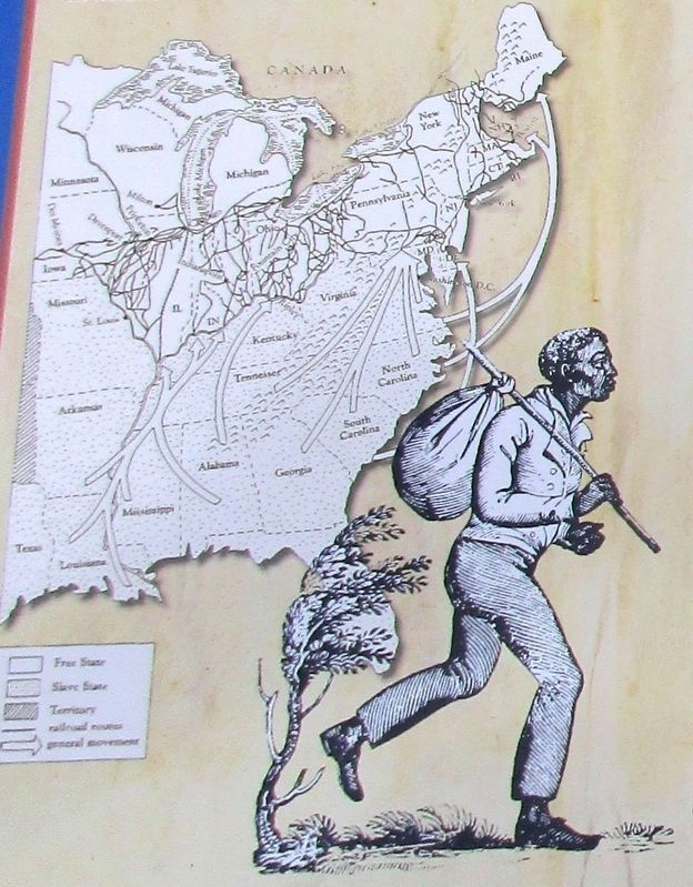
Close up of map on marker
Credits. This page was last revised on February 3, 2023. It was originally submitted on July 30, 2016, by Rev. Ronald Irick of West Liberty, Ohio. This page has been viewed 2,464 times since then and 235 times this year. Last updated on January 3, 2022, by Carl Gordon Moore Jr. of North East, Maryland. Photos: 1, 2, 3, 4. submitted on July 30, 2016, by Rev. Ronald Irick of West Liberty, Ohio. • Devry Becker Jones was the editor who published this page.
