Fullerton in Orange County, California — The American West (Pacific Coastal)
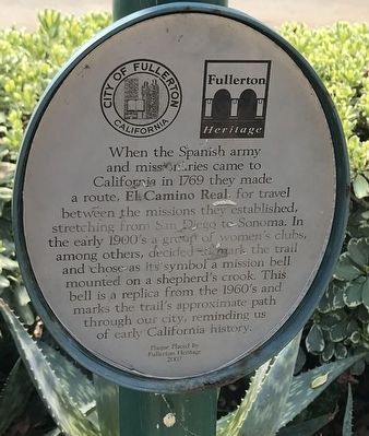
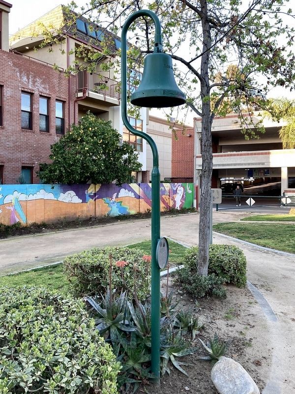
El Camino Real
Erected 2007 by Fullerton Heritage.
Topics. This historical marker is listed in these topic lists: Churches & Religion • Colonial Era • Exploration • Hispanic Americans. A significant historical year for this entry is 1979.
Location. 33° 52.327′ N, 117° 55.347′ W. Marker is in Fullerton, California, in Orange County. Marker is at the intersection of East Wilshire Avenue and North Pomona Avenue, on the right when traveling east on East Wilshire Avenue. Touch for map. Marker is at or near this postal address: 144 E Wilshire Avenue, Fullerton CA 92832, United States of America. Touch for directions.
Other nearby markers. At least 8 other markers are within walking distance of this marker. Fullerton Library (within shouting distance of this marker); Chapman Building (about 400 feet away, measured in a direct line); Dewella Apartments (about 600 feet away); Odd Fellows Lodge (approx. 0.2 miles away); Leo Fender Factory (approx. 0.2 miles away); Fullerton Masonic Temple (approx. 0.2 miles away); Fullerton Union High School Auditorium (approx. 0.2 miles away); Union Pacific Depot (approx. ¼ mile away). Touch for a list and map of all markers in Fullerton.
Credits. This page was last revised on March 9, 2023. It was originally submitted on January 7, 2022, by Adam Margolis of Mission Viejo, California. This page has been viewed 179 times since then and 21 times this year. Photos: 1. submitted on January 7, 2022, by Adam Margolis of Mission Viejo, California. 2. submitted on March 9, 2023, by Craig Baker of Sylmar, California. 3. submitted on January 7, 2022, by Adam Margolis of Mission Viejo, California. • J. Makali Bruton was the editor who published this page.


