Deaver in Big Horn County, Wyoming — The American West (Mountains)
Deaver Reservoir
The Shoshone Project Story

Photographed By Barry Swackhamer, July 20, 2021
1. Deaver Reservoir Marker
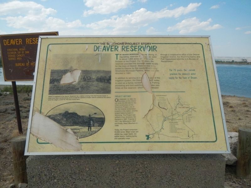
Caption: (upper left) Water is supplied to the Deaver Reservoir by a siphon coming from the Frannie Canal. It mist have been backbreaking work to load the sections of pipe used to construct the siphon onto the wagon pulled by these four-horse team.
The Deaver Reservoir equalizing, or regulating reservoir missing word(s) serves water to about 1,800 acres on missing word(s) Frannie Division of the Project. For 75 years, the reservoir provided the domestic water supply for the town of Deaver. Water is now transported to Deaver by the nearly 60-mile-long Shoshone Municipal Pipeline, which was constructed in 1991.
In addition to serving as a missing word(s) part of the irrigation system, the Deaver Reservoir today is used as a family recreation missing word(s). Fishing, picnicking and bird watching missing word(s) pastimes at this reservoir, which missing word(s)eloped.
Project History
On February 10, 1904, the Secretary of the Interior set aside $2,250.000 for the initial construction of the Shoshone Project, one of the first federal reclamation projects in the nation, and the largest federal project in Wyoming. The Project was settled in four divisions, the Garland in 1907, Frannie in 1917, the Willwood in 1927 and finally, Heart Mountain in 1946.
Today, the Project comprises 93,000 acres. Major crops are alfalfa hay, sugar beets, dry edible beans, malting barley an specialty crops. (Marker Number 9.)
Topics. This historical marker is listed in these topic lists: Agriculture • Waterways & Vessels. A significant historical date for this entry is February 10, 1904.
Location. 44° 53.917′ N, 108° 38.118′ W. Marker is in Deaver, Wyoming, in Big Horn County. Marker is on Road 2 North near Road 3 North, on the left when traveling east. Touch for map. Marker is in this post office area: Deaver WY 82421, United States of America. Touch for directions.
Other nearby markers. At least 6 other markers are within 11 miles of this marker, measured as the crow flies. Big Horn LDS Stake Office and Tithing Building (approx. 8.2 miles away); Big Horn Academy (approx. 8.3 miles away); Cowley Log Community Center (approx. 8.3 miles away); Sidon Canal (approx. 9.2 miles away); Byron Sessions (approx. 9.7 miles away); The Mormon Colonists (approx. 10.4 miles away).
Credits. This page was last revised on March 24, 2024. It was originally submitted on January 10, 2022, by Barry Swackhamer of Brentwood, California. This page has been viewed 189 times since then and 25 times this year. Photos: 1, 2. submitted on January 10, 2022, by Barry Swackhamer of Brentwood, California.
