
Vienna in Dorchester County, Maryland — The American Northeast (Mid-Atlantic)
Discover: Restoration
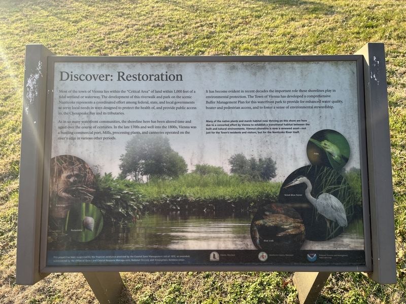
Most of the town of Vienna lies within the "Critical Area" of land within 1,000 feet of a tidal wetland or waterway. The development of this riverwalk and park on the scenic Nanticoke represents a coordinated effort among federal, state, and local governments to serve local needs in ways designed to protect the health of, and provide public access to, the Chesapeake Bay and its tributaries.
As in so many waterfront communities, the shoreline here has been altered time and again over the course of centuries. In the late 1700s and well into the 1800s, Vienna was a bustling commercial port. Mills, processing plants, and canneries operated on the river's edge in various other periods.
It has become evident in recent decades the important role these shorelines play in environmental protection. The Town of Vienna has developed a comprehensive Buffer Management Plan for this waterfront park to provide enhanced water quality, boater and pedestrian access, and to foster a sense of environmental stewardship.
Many of the native plants and marsh habitat now thriving on this shore are here due to a concerted effort by Vienna to establish a transitional habitat between the built and natural environments. Vienna's shoreline is now a renewed asset—not just for the Town's residents and visitors, but for the Nanticoke River itself.
Erected by The
this page online
Topics and series. This historical marker is listed in these topic lists: Animals • Environment • Industry & Commerce • Waterways & Vessels. In addition, it is included in the National Oceanic and Atmospheric Administration (NOAA) series list.
Location. 38° 28.989′ N, 75° 49.41′ W. Marker is in Vienna, Maryland, in Dorchester County. It is on Water Street just south of Race Street, on the left when traveling south. Touch for map. Marker is at or near this postal address: 105 Water St, Sharptown MD 21861, United States of America. Touch for directions.

Regionally, this marker is on the Eastern Shore. It is also in the American Mid-Atlantic, on the Delmarva Peninsula, in the Tidewater, in the Chesapeake Bay Region, and on the Eastern Seaboard. Globally, it is in the North Atlantic Region, North America, the Western Hemisphere, the Western World, and the Anglosphere. Historically, it finds itself in what was once one of the original
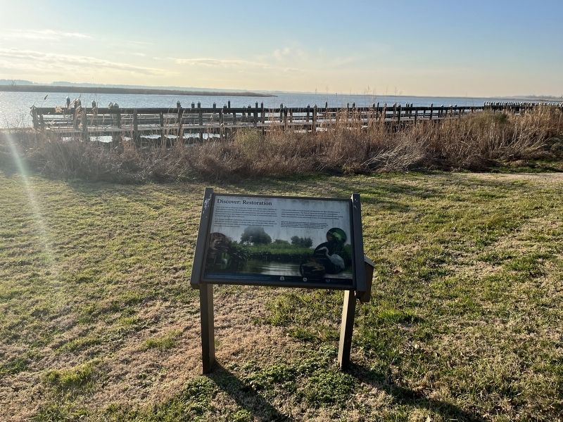
Other nearby markers. At least 8 other markers are within 2 miles of this marker, measured as the crow flies: Discover: The Nanticoke (a few steps from this marker); Discover: Vienna (a few steps from this marker); A walking tour of Vienna (within shouting distance of this marker); Discover: The Shoreline (about 400 feet away, measured in a direct line); John Smith Explores the Chesapeake (approx. 0.2 miles away); Discover: Vienna Heritage (approx. 0.2 miles away); Unnacokossimmon (approx. 0.4 miles away); The Nanticoke Historic Preservation Alliance (approx. 1.9 miles away). Touch for a list and map of all markers in Vienna.
Credits. This page was last revised on January 14, 2022. It was originally submitted on January 14, 2022, by Devry Becker Jones of Washington, District of Columbia. This page has been viewed 207 times since then and 13 times this year. Photos: 1, 2. submitted on January 14, 2022, by Devry Becker Jones of Washington, District of Columbia.
