Crockett in Contra Costa County, California — The American West (Pacific Coastal)
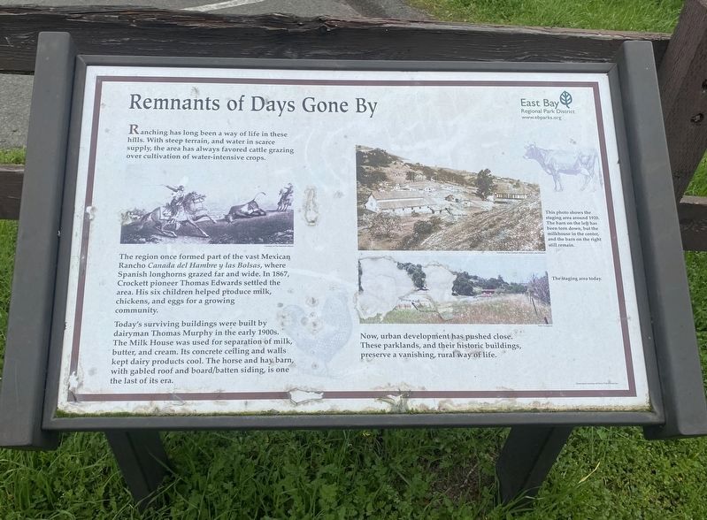
Remnants from Days Gone By
The region once formed part of the vast Mexican Rancho Canada del Hambre y las Bolsas, where Spanish longhorns grazed far and wide. In 1867, Crockett pioneer Thomas Edwards settled the area. His six children helped produce milk, chickens, and eggs for a growing community.
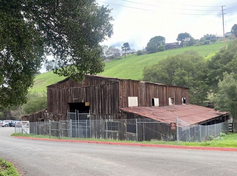
Today's surviving buildings were built by dairyman Thomas Murphy in the early 1900s. The Milk House was used for separation of milk, butter, and cream. Its concrete ceiling and walls kept dairy products cool. The horse and hay barn, with gabled roof and board/batten siding, is one the last of its era.
Erected by East Bay Regional Parks District.
Topics. This historical marker is listed in these topic lists: Agriculture • Parks & Recreational Areas. A significant historical year for this entry is 1867.
Location. 38° 2.785′ N, 122° 13.258′ W. Marker is in Crockett, California, in Contra Costa County. Touch for map. Marker is in this post office area: Crockett CA 94525, United States of America. Touch for directions.
Other nearby markers. At least 8 other markers are within 3 miles of this marker, measured as the crow flies. A Retreat in the Hills (within shouting distance of this marker); The Old Homestead (approx. 0.6 miles away); Crockett World War I Veterans Memorial (approx. ¾ mile away); Al Zampa Memorial Bridge (approx. 1.1 miles away); Anza Expedition of 1776 (approx. 1.3 miles away); The Burlington Hotel (approx. 2 miles away); McNear Warehouse (approx. 2 miles away); Turner / Robertson Shipyard (approx. 2½ miles away). Touch for a list and map of all markers in Crockett.
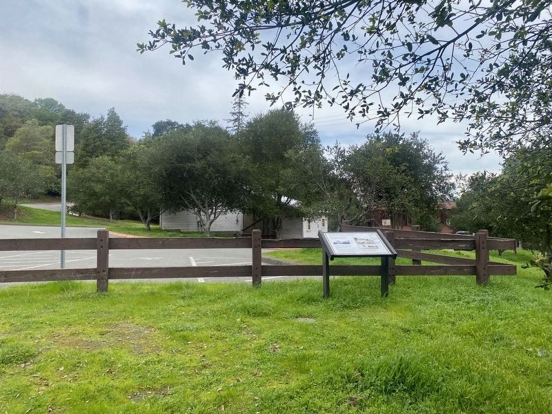
More about this marker. The marker is located in Crockett Hill Regional Park, at the back of the parking lot near the restrooms.
Credits. This page was last revised on January 15, 2022. It was originally submitted on January 15, 2022, by Andrew Ruppenstein of Lamorinda, California. This page has been viewed 142 times since then and 12 times this year. Photos: 1, 2, 3. submitted on January 15, 2022, by Andrew Ruppenstein of Lamorinda, California.


