Millsboro in Sussex County, Delaware — The American Northeast (Mid-Atlantic)
Askekesky
(Acksquessance)
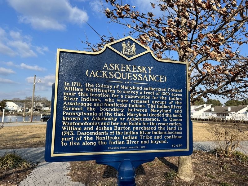
Erected 2019 by Delaware Public Archives. (Marker Number SC-280.)
Topics and series. This historical marker is listed in these topic lists: Colonial Era • Indigenous Peoples and Communities • Political Subdivisions • Settlements & Settlers • Waterways & Vessels. In addition, it is included in the Delaware Public Archives series list. A significant historical year for this entry is 1711.
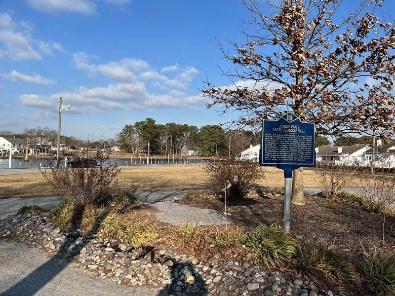
Location. 38° 35.663′ N, 75° 17.325′ W. Marker is in Millsboro, Delaware, in Sussex County.
this page online

Regionally, this marker is on Delaware’s Beaches. It is also in the American Mid-Atlantic, on the Delmarva Peninsula, and on the Eastern Seaboard. Globally, it is in the North Atlantic Region, North America, the Western Hemisphere, the Western World, and the Anglosphere. Historically, it finds itself in what was once New Netherland, one of the original Thirteen Colonies, and the Antebellum South.
Other nearby markers. At least 8 other markers are within walking distance of this marker: Indian River Hundred (about 700 feet away, measured in a direct line); Home of Richard S. Cordrey (about 700 feet away); Millsboro's Oldest Commercial Structure: The Benjamin Burton Store, a part of the town's history (approx. ¼ mile away); Home of John J. Williams (approx. ¼ mile away); The Ableman Homestead (approx. ¼ mile away); Saint Mark's Episcopal Church (approx. ¼ mile away); Ball Theatre/Millstone Theatre
Another marker is no longer nearby. The Ableman Homestead (was approx. ¼ mile away but has been replaced with another marker now near it).
Credits. This page was last revised on January 15, 2022. It was originally submitted on January 15, 2022, by Devry Becker Jones of Washington, District of Columbia. This page has been viewed 494 times since then and 18 times this year. Photos: 1, 2. submitted on January 15, 2022, by Devry Becker Jones of Washington, District of Columbia.
