Marshall in Calhoun County, Michigan — The American Midwest (Great Lakes)
Toll Gate
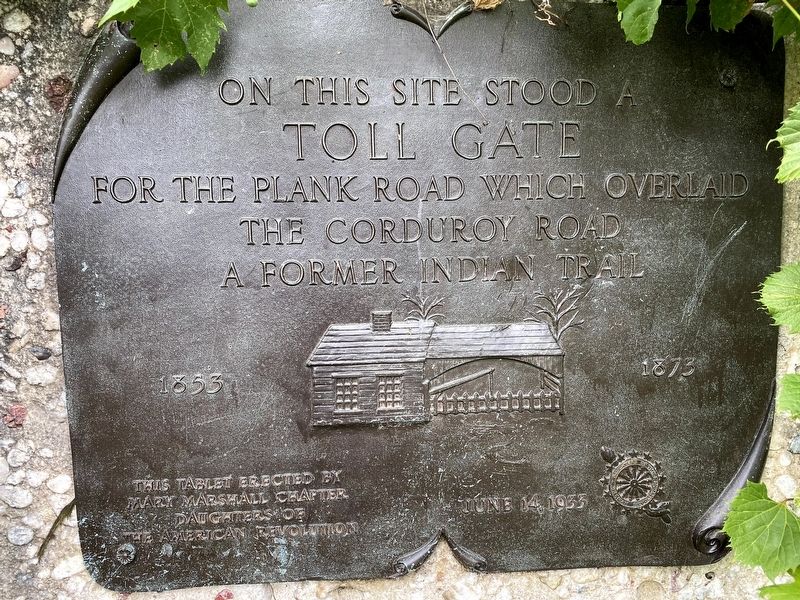
On this site stood a
Toll Gate
for the plank road which overlaid
the cordury road
a former Indian trail
1853 1873
Erected 1933 by Mary Mashall Chapter, Daughters of the American Revolution.
Topics and series. This historical marker is listed in these topic lists: Native Americans • Roads & Vehicles. In addition, it is included in the Daughters of the American Revolution series list. A significant historical year for this entry is 1853.
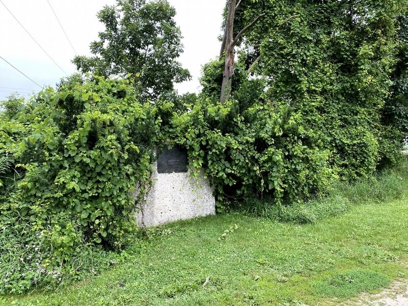
Location. 42° 17.86′ N, 84° 58.368′ W. Marker is in Marshall, Michigan, in Calhoun County. Marker is on G-Drive North near 16 1/2 Mile Road. Touch for map. Marker is in this post office area: Marshall MI 49068, United States of America. Touch for directions.
Other nearby markers. At least 8 other markers are within 2 miles of this marker, measured as the crow flies. Sam Hill Drive (approx. 0.6 miles away); William W. Cook (approx. 1.2 miles away); Hobart Street (approx. 1.3 miles away); Brewer Street (approx. 1˝ miles away); Butler-Boyce House / W. D. Boyce (approx. 1˝ miles away); Jeremiah Cronin Jr. House / John Bellairs (approx. 1.6 miles away); Gorham Street (approx. 1.7 miles away); Harold C. Brooks / Fitch-Gorham-Brooks House (approx. 1.7 miles away). Touch for a list and map of all markers in Marshall.
Credits. This page was last revised on January 16, 2022. It was originally submitted on January 16, 2022, by J.T. Lambrou of New Boston, Michigan. This page has been viewed 164 times since then and 18 times this year. Photos: 1, 2. submitted on January 16, 2022, by J.T. Lambrou of New Boston, Michigan. • J. Makali Bruton was the editor who published this page.

