Midlothian in Chesterfield County, Virginia — The American South (Mid-Atlantic)
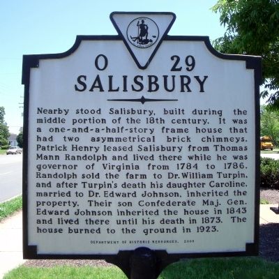
Salisbury
Erected 2000 by Department of Historic Resources. (Marker Number O-29.)
Topics and series. This historical marker is listed in these topic lists: Agriculture • Architecture • War, US Civil. In addition, it is included in the Virginia Department of Historic Resources (DHR) series list. A significant historical year for this entry is 1784.
Location. 37° 30.151′ N, 77° 38.844′ W. Marker is in Midlothian, Virginia, in Chesterfield County. Marker is on Midlothian Turnpike (U.S. 60) 0.1 miles east of Salisbury Drive, on the right when traveling east. Touch for map. Marker is in this post office area: Midlothian VA 23113, United States of America. Touch for directions.
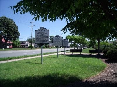
Other nearby markers. At least 8 other markers are within walking distance of this marker. Union Raid On Coalfield Station (here, next to this marker); Midlothian Coal Mines (here, next to this marker); Winfree Memorial Baptist Church - Midlothian Mine Disaster (approx. 0.3 miles away); Midlothian Elementary School (approx. half a mile away); From Mines to Market (approx. half a mile away); The Bermuda Hundred Campaign (approx. half a mile away); Headstock (approx. half a mile away); Mid-Lothian Mines and Rail Roads (approx. 0.6 miles away). Touch for a list and map of all markers in Midlothian.
Credits. This page was last revised on January 13, 2022. It was originally submitted on May 16, 2009, by Bernard Fisher of Richmond, Virginia. This page has been viewed 1,719 times since then and 40 times this year. Photos: 1, 2. submitted on May 16, 2009, by Bernard Fisher of Richmond, Virginia. 3. submitted on May 17, 2009, by Bernard Fisher of Richmond, Virginia.


