Laurel in Yellowstone County, Montana — The American West (Mountains)
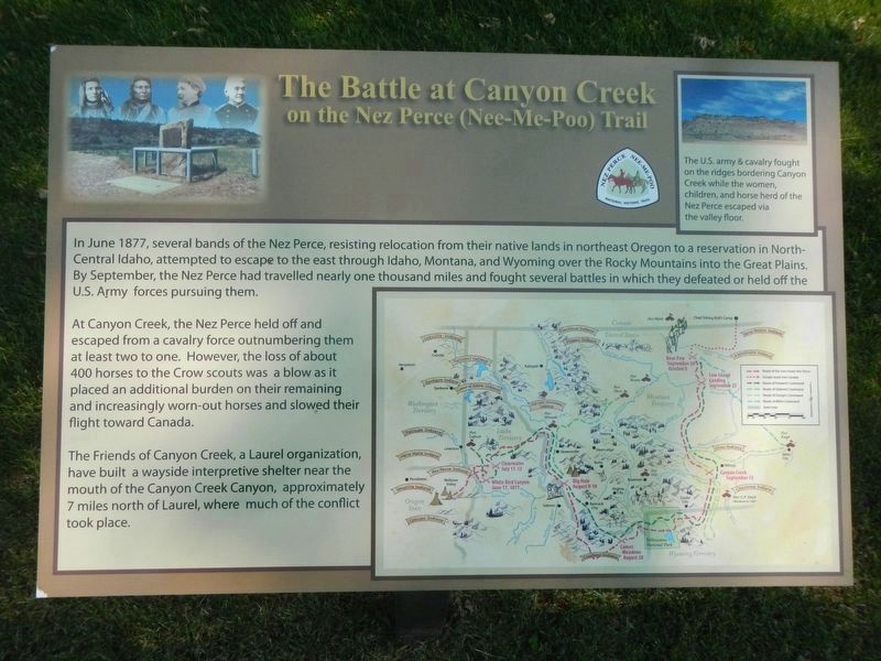
The Battle at Canyon Creek
on the Nez Perce (Nee-Me-Poo) Trail

Photographed By Barry Swackhamer, July 22, 2021
1. The Battle at Canyon Creek Marker
Caption: (insert at top right) The U.S. army and cavalry fought on the ridges bordering Canyon Creek while the women, children, and horse herd of the Nez Perce escaped via the valley floor.
Map of the Nez Perce flight and U.S. Army pursuit.
Map of the Nez Perce flight and U.S. Army pursuit.
At Canyon Creek, the Nez Perce held off and escaped from a cavalry force outnumbering them at least two to one. However, the loss of about 400 horses to the Crow scouts was a blow as it placed an additional burden on their remaining and increasingly worn-out horses and slowed their flight toward Canada.
The Friends of Canyon Creek, a Laurel organization, have built a wayside interpretive shelter near the mouth of the Canyon Creek Canyon, approximately 7 miles north of Laurel, where much of the conflict took place.
Erected by Laurel Chamber of Commerce.
Topics and series. This historical marker is listed in these topic lists: Native Americans • Wars, US Indian. In addition, it is included in the The Nez Perce Trail series list.
Location. 45° 40.155′ N, 108° 46.237′ W. Marker is in Laurel, Montana, in Yellowstone County. Marker is on East Main Street (Old U.S. 10) near 1st Avenue, on the left when traveling west. Touch for map. Marker is at or near this postal address: 108 East Main Street, Laurel MT 59044, United States of America. Touch for directions.
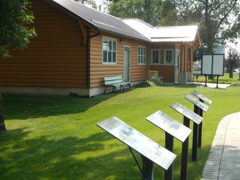
Other nearby markers. At least 8 other markers are within 8 miles of this marker, measured as the crow flies. The Yellowstone Trail (here, next to this marker); Lewis & Clark expedition July 24, 1806 (here, next to this marker); Historical Downtown Laurel (here, next to this marker); Chamber Log Cabin (here, next to this marker); North School's Bell (a few steps from this marker); Abraham and Carrie Erb Residence (approx. ¼ mile away); Battle of Canyon Creek (approx. 7½ miles away); Nez Perce National Historical Park (approx. 7½ miles away). Touch for a list and map of all markers in Laurel.
Credits. This page was last revised on January 21, 2022. It was originally submitted on January 21, 2022, by Barry Swackhamer of Brentwood, California. This page has been viewed 173 times since then and 19 times this year. Photos: 1, 2. submitted on January 21, 2022, by Barry Swackhamer of Brentwood, California.
