Near Laurel in Yellowstone County, Montana — The American West (Mountains)
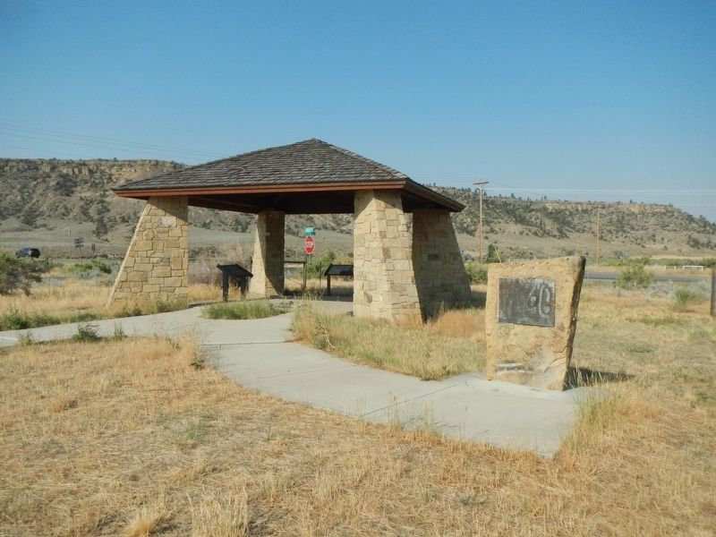
Canyon Creek Battle
September 13, 1877
Indians engaged wee the Nez Perce triple, escaping from their reservation and fleeing to Canada, Leader Chief Joseph.
The Indians crossed the Yellowstone River, east of Laurel, burned a stage station on Canyon Creek and cut spokes from stagecoach's wheels for use as quirt handles. They proceeded to this point, were they met and fought the Sturgis command in the area south of this marker.
Erected 1958 by Yellowstone Historical Society.
Topics. This historical marker is listed in these topic lists: Native Americans • Wars, US Indian. A significant historical date for this entry is September 18, 1877.
Location. 45° 46.55′ N, 108° 47.755′ W. Marker is near Laurel, Montana, in Yellowstone County. Marker is at the intersection of Buffalo Trail Road and Lipp Road, on the right when traveling north on Buffalo Trail Road. Touch for map. Marker is in this post office area: Laurel MT 59044, United States of America. Touch for directions.
Other nearby markers. At least 8 other markers are within 8 miles of this marker, measured as the crow flies. Aftermath of the Battle (a few steps from this marker); Battle of Canyon Creek (a few steps from this marker); Nez Perce National Historical Park (a few steps from this marker); Abraham and Carrie Erb Residence (approx. 7.4 miles away); North School's Bell (approx. 7˝ miles away); The Yellowstone Trail (approx. 7˝ miles away); Lewis & Clark expedition July 24, 1806 (approx. 7˝ miles away); The Battle at Canyon Creek (approx. 7˝ miles away). Touch for a list and map of all markers in Laurel.
More about this marker. This marker has probably been moved from another location.
Also see . . . Battle of Canyon Creek -- Fandom. The Nez Perce camped September 12 near the entrance to the narrow canyons of Canyon Creek. On the morning of September 13, many of the warriors were raiding ranches for supplies and horses up and down the Yellowstone River when they suddenly became aware that Sturgis was nearby. They had not expected him to catch them so quickly. Sturgis’ men were exhausted and anticipated a rest after they crossed the Yellowstone River on the morning of September 13, but Crow scouts reported the Nez Perce were moving up Canyon Creek six miles away. Seeing an opportunity, Sturgis sent Major Lewis Merrill and his battalion ahead atop a long ridge to head off the Nez Perce traversing the shallow canyon below.... (Submitted on January 22, 2022, by Barry Swackhamer of Brentwood, California.)
Credits. This page was last revised on January 22, 2022. It was originally submitted on January 22, 2022, by Barry Swackhamer of Brentwood, California. This page has been viewed 156 times since then and 18 times this year. Photos: 1, 2. submitted on January 22, 2022, by Barry Swackhamer of Brentwood, California.

