Vicksburg in Warren County, Mississippi — The American South (East South Central)
The Steamer Sprague
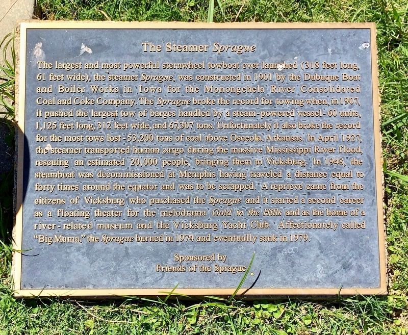
Photographed by Mark Hilton, May 25, 2017
1. The Steamer Sprague Marker
this page online
Friends of the Sprague
Erected 2007 by the City of Vicksburg Riverfront Mural Committee.
Topics. This historical marker is listed in these topic lists: Arts, Letters, Music • Disasters • Waterways & Vessels. A significant historical month for this entry is April 1927.
Location. 32° 21.107′ N, 90° 53.013′ W. Marker is in Vicksburg, Mississippi, in Warren County. It can be reached from Levee Street south of Grove Street. The Vicksburg Riverfront Murals are located on the Yazoo Diversion Canal levee wall. Touch for map. Marker is in this post office area: Vicksburg MS 39183, United States of America. Touch for directions.

Regionally, this marker is in Natchez Trace Corridor and in Greater Jackson. It is also in the American South, specifically in the Deep South, in the Mississippi Delta, and in the Great River Road Region. Globally, it is in North America, a Gulf of Mexico state, the Western Hemisphere, the Western World, and the Anglosphere. Historically, it finds itself in what was once New Spain, the territory of the Mississippian Culture, one of the Confederate States of America,
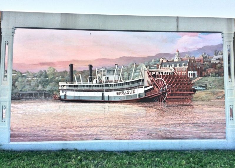
Photographed by Mark Hilton, May 25, 2017
2. The Steamer Sprague Mural
Other nearby markers. At least 8 other markers are within walking distance of this marker: Brothers of the Sacred Heart (here, next to this marker); Carr School (here, next to this marker); "Logging on the River" (a few steps from this marker); The Nation's Most Destructive Flood (a few steps from this marker); "The Founding of Vicksburg and Methodism" (a few steps from this marker); President McKinley Visits the "Land of Cotton" (a few steps from this marker); The Vicksburg Garden Clubs and Planters Hall (a few steps from this marker); "The Blues are the Roots, the Rest are the Fruits"-Willie Dixon (within shouting distance of this marker). Touch for a list and map of all markers in Vicksburg.
Related marker. Click here for another marker that is related to this marker. Mural of "Gold in Hills"
Also see . . .
1. The Vicksburg Riverfront Mural website. (Submitted on June 6, 2017, by Mark Hilton of Montgomery, Alabama.)
2. Wikipedia article on the Sprague. (Submitted on June 6, 2017, by Mark Hilton of Montgomery, Alabama.)
Additional keywords. The Steamer Sprague | The Steamer
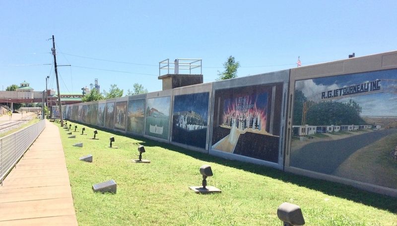
Photographed by Mark Hilton, May 25, 2017
3. Vicksburg, Mississippi waterfront levee wall murals.
Credits. This page was last revised on January 24, 2022. It was originally submitted on June 6, 2017, by Mark Hilton of Montgomery, Alabama. This page has been viewed 616 times since then and 72 times this year. Last updated on January 22, 2022, by Carl Gordon Moore Jr. of North East, Maryland. Photos: 1, 2, 3. submitted on June 6, 2017, by Mark Hilton of Montgomery, Alabama.
