Barnstable in Barnstable County, Massachusetts — The American Northeast (New England)
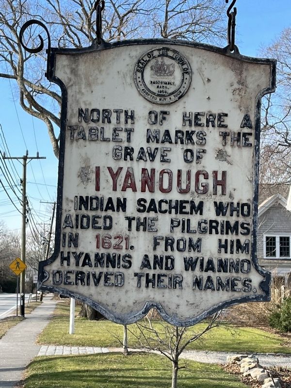
Grave of Iyanough
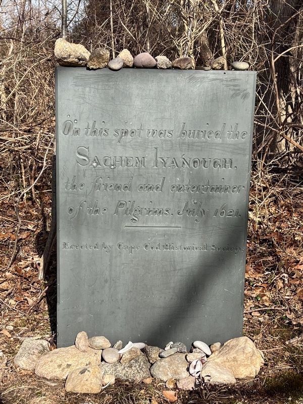
Tablet marks the
Grave of
Iyanough
Indian Sachem who
Aided the Pilgrims
in 1621. From him
Hyannis and Wianno
derived their names.
Erected by Town of Barnstable.
Topics. This historical marker is listed in these topic lists: Colonial Era • Native Americans. A significant historical year for this entry is 1621.
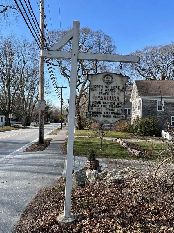
Location. 41° 42.097′ N, 70° 16.495′ W. Marker is in Barnstable, Massachusetts, in Barnstable County. Marker is at the intersection of Main Street (Massachusetts Route 6A) and Rue Michelle, on the right when traveling west on Main Street. Touch for map. Marker is at or near this postal address: 4046 Main Street, Barnstable MA 02630, United States of America. Touch for directions.
Other nearby markers. At least 8 other markers are within 2 miles of this marker, measured as the crow flies. Elder Thomas Dimmock (approx. 0.6 miles away); Capt. John Gorham House (approx. 0.7 miles away); Abraham Blish (approx. 1.2 miles away); The Unitarian Church of Barnstable (approx. 1.2 miles away); Lt. Colonel F.W. McAbee (approx. 1.2 miles away); Korean War (approx. 1.2 miles away); Barnstable Village World War II Monument (approx. 1.4 miles away); James Otis Jr. (approx. 1˝ miles away). Touch for a list and map of all markers in Barnstable.
Also see . . . Iyannough (Wikipedia) . (Submitted on January 28, 2022, by Michael Herrick of Southbury, Connecticut.)
Credits. This page was last revised on January 28, 2022. It was originally submitted on January 23, 2022, by Ralph Cahoon of Barnstable, Massachusetts. This page has been viewed 428 times since then and 54 times this year. Photos: 1, 2, 3. submitted on January 23, 2022, by Ralph Cahoon of Barnstable, Massachusetts. • Michael Herrick was the editor who published this page.


