Near Columbus in Stillwater County, Montana — The American West (Mountains)
The Great Inland Seaway
Photographed by Barry Swackhamer, July 23, 2021
1. The Great Inland Seaway Marker
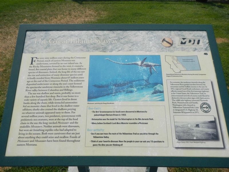
Captions: (upper center) Plesiosaur; (top right) Depositional features in Montana during the early Campanian Stage of Cretaceous time.; (side-bar) Fergus County 1922. Custer Battlefield Highway.
The sea was shallow and warm, probably no more than a few hundred feet deep. But it was home to a wide variety of aquatic life. Oysters lived in dense banks along the shore, while tentacled ammonites fed on monster clams that lived in the shallow water offshore; sharks also cruised the shallows preying on whatever animals appeared tasty to them. For several million years, two predators, synonymous with prehistoric sea creatures, were at the top of the food chain in the sea: the long-necked Plesiosaurs and the
this page online
(Side-bar on right)
For centuries, the sandstone rimrocks along the Yellowstone River guided travelers between the mountains and the buffalo country to the east. In 1912, regional Good Roads enthusiasts and county officials created one of the first interstate highways in the United States, the Yellowstone Trail, an interconnected network of county roads blazed by distinctive chrome yellow signs with black arrows. The 4,000-mile highway connected Plymouth Rock, Massachusetts and Seattle, Washington with a branch to Yellowstone National Park. Later re-designated U.S. Highway 10, Interstate 90 bypassed it in 1971.
Geo-facts:
The first Tyrannosaurus rex fossils were discovered in Montana by paleontologist Barnum Brown in 1902.
Deinonychus was the model for the Velociraptors in the film Jurassic Park.
Many believe Scotland's Loch Ness
Photographed by Barry Swackhamer, July 23, 2021
2. The Great Inland Seaway Marker
Geo-activity:
See if you can trace the route of the Yellowstone Trail as you drive through the Yellowstone Valley.
Think of you favorite dinosaur. Have the people in you car ask you 10 questions to guess the dino you are thinking of!
Erected by Montana Department of Transportation.
Topics. This historical marker is listed in these topic lists: Natural Features • Paleontology • Roads & Vehicles.
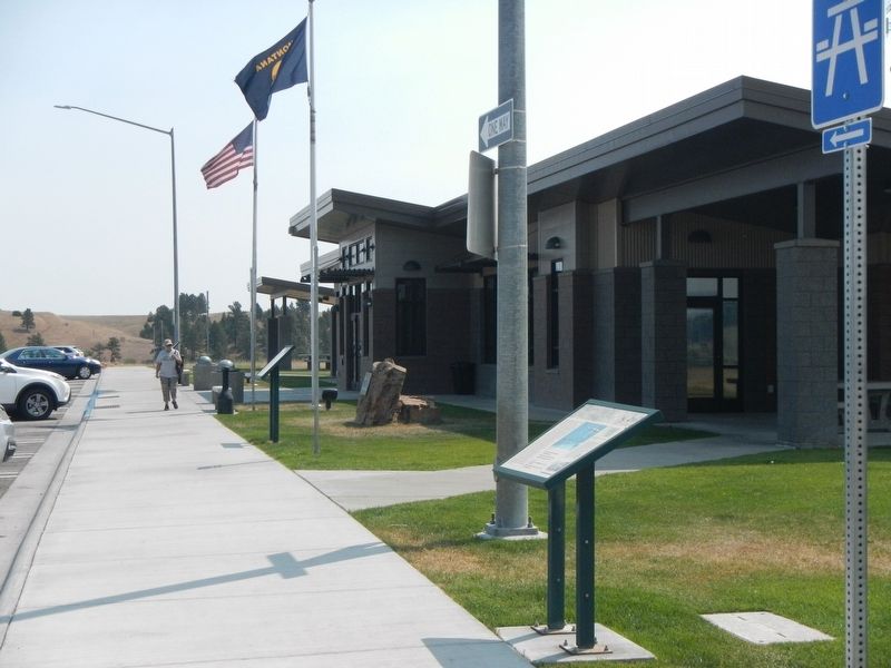
Location. 45° 35.892′ N, 109° 3.87′ W. Marker is near Columbus, Montana, in Stillwater County. It is on Interstate 90 at milepost 419, on the right when traveling east. The marker is located at the Eastbound Columbus Rest Area on Interstate 90, between Columbus and Park City. Touch for map. Marker is in this post office area: Columbus MT 59019, United States of America. Touch for directions.

Regionally, this marker is in Yellowstone Country and in Greater Billings. It is also in the American Mountain West and in the Lewis & Clark Corridor. Globally, it is in North America, the Rocky Mountains, the Western Hemisphere, the Western World, and the Anglosphere. Historically, it finds itself in what was once Rupert’s Land and also the Louisiana Purchase.
Other nearby markers. At least 8 other markers are within 8 miles of this marker, measured as the crow flies: Park City (a few steps from this marker); The March of the Montana Column (within shouting distance of this marker); a different marker also named The March of the Montana Column (approx. 0.2 miles away); Columbus (approx. 0.2 miles away); a different marker also named The Great Inland Seaway (approx. 0.2 miles away); Bozeman Trail (approx. 0.2 miles away); Clark's Canoe Camp on the Yellowstone (approx. 7½ miles away); United Methodist Episcopal Church (approx. 7.6 miles away). Touch for a list and map of all markers in Columbus.
Credits. This page was last revised on January 23, 2022. It was originally submitted on January 23, 2022, by Barry Swackhamer of Brentwood, California. This page has been viewed 573 times since then and 40 times this year. Photos: 1, 2. submitted on January 23, 2022, by Barry Swackhamer of Brentwood, California.
