Fort Sill in Comanche County, Oklahoma — The American South (West South Central)
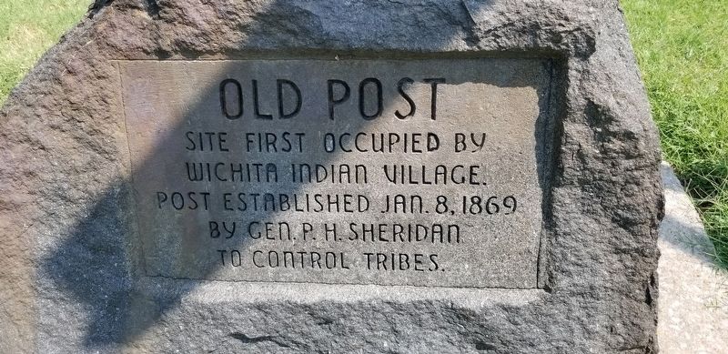
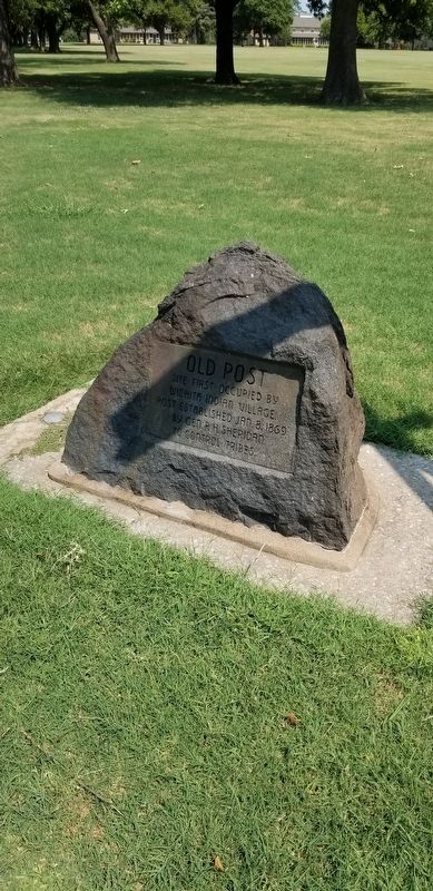
Old Post
Wichita Indian Village.
Post Established Jan. 8, 1869
by Gen. P. H. Sheridan
to Control Tribes.
Erected by Oklahoma Historical Society.
Topics. This historical marker is listed in these topic lists: Forts and Castles • Native Americans • Wars, US Indian. A significant historical date for this entry is January 8, 1869.
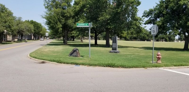
Location. 34° 40.206′ N, 98° 23.257′ W. Marker is in Fort Sill, Oklahoma, in Comanche County. Marker is at the intersection of Quanah Road and Geronimo Road, on the right when traveling west on Quanah Road. The marker is located at the front of the intersection by the street. Touch for map. Marker is in this post office area: Fort Sill OK 73503, United States of America. Touch for directions.
Other nearby markers. At least 8 other markers are within walking distance of this marker. Sill (here, next to this marker); Cavalry Company Quarters (a few steps from this marker); Infantry Barracks (within shouting distance of this marker); Post Headquarters (about 400 feet away, measured in a direct line); Post Guardhouse (about 400 feet away); Band Quarters (about 500 feet away); Infantry Company Quarters (about 500 feet away); Commissary Storehouse (about 600 feet away). Touch for a list and map of all markers in Fort Sill.
More about this marker. Marker is located in the Old Post Museum area of Fort Sill, an active U.S. military installation. The museum is open to the public, but appropriate identification is required for access for Fort Sill.
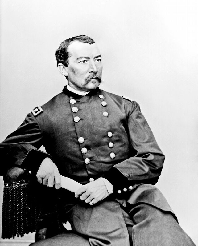
Also see . . . Philip Sheridan.
Philip Henry Sheridan (March 6, 1831[1] – August 5, 1888) was a career United States Army officer and a Union general in the American Civil War. His career was noted for his rapid rise to major general and his close association with General-in-chief Ulysses S. Grant, who transferred Sheridan from command of an infantry division in the Western Theater to lead the Cavalry Corps of the Army of the Potomac in the East. In 1864, he defeated Confederate forces under General Jubal Early in the Shenandoah Valley and his destruction of the economic infrastructure of the Valley, called "The Burning" by residents, was one of the first uses of scorched-earth tactics in the war. In 1865, his cavalry pursued Gen. Robert E. Lee and was instrumental in forcing his surrender at Appomattox Courthouse. Source: Wikipedia(Submitted on January 24, 2022, by James Hulse of Medina, Texas.)
Credits. This page was last revised on January 24, 2022. It was originally submitted on January 23, 2022, by James Hulse of Medina, Texas. This page has been viewed 104 times since then and 23 times this year. Photos: 1, 2, 3, 4. submitted on January 24, 2022, by James Hulse of Medina, Texas.


