Northwest in Williams County, Ohio — The American Midwest (Great Lakes)
Copperbelly Water Snake Habitat Restoration
Petee Property
| — | Lake LaSuAn Wildlife Area | — |
Photographed by Craig Doda, October 27, 2021
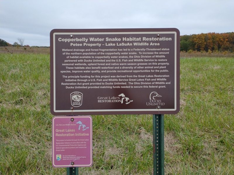
1. Copperbelly Water Snake Habitat Restoration Marker
Wetland drainage and forest fragmentation has led to a Federally-Threatened status of the northern population of the copperbelly water snake. To increase the amount of habitat available to copperbelly water snakes, the Ohio Division of Wildlife partnered with Ducks Unlimited and the U.S. Fish and Wildlife Service to restore seasonal wetlands, upland forest and native warm season grasses on this property. These habitats also benefit waterfowl and a diversity of other animal and plant species, improve water quality, and provide recreational opportunities for the public.
The principle funding for this project was derived from the Great Lakes Restoration Initiative through a U.S. Fish and Wildlife Service Great Lakes Fish and Wildlife Restoration Act grant provided to Ducks Unlimited. The Ohio Division of Wildlife and Ducks Unlimited provided matching funds needed to secure this federal grant.
Erected by Ohio Department Of Natural Resources, Division Of Wildlife; Great Lakes Restoration; Ducks Unlimited.
Topics. This historical marker is listed in these topic lists: Animals • Environment •
this page online
Location. 41° 41.363′ N, 84° 42.805′ W. Marker is in Northwest, Ohio, in Williams County. It is on County Road 5-75 0.3 miles south of County Route S, on the right when traveling north. Touch for map. Marker is in this post office area: Edon OH 43518, United States of America. Touch for directions.

Regionally, this marker is in Ohio’s Till Plains. It is also in the American Midwest and in the Corn Belt. Globally, it is in North America, the Western Hemisphere, the Western World, and the Anglosphere. Historically, it finds itself in what was once the Haudenosaunee (Iroquois) Confederacy, the territory of the Mississippian Culture, and the Northwest Territory.
Other nearby markers. At least 8 other markers are within 8 miles of this marker, measured as the crow flies: The Nettle Lake Mound Group / The Hopewell Indians (approx. one mile away); First Millstone Used in Mill (approx. 4.8 miles away); Where Indiana, Michigan, and Ohio Meet (approx. 4.8 miles away in Michigan); Camden Cemetery Veterans Memorial (approx. 5.2 miles away in Michigan); Chester Park Veterans Memorial
Photographed by Craig Doda, October 27, 2021
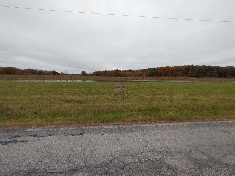
2. Copperbelly Water Snake Habitat Restoration Marker
Credits. This page was last revised on February 1, 2022. It was originally submitted on January 25, 2022, by Craig Doda of Napoleon, Ohio. This page has been viewed 547 times since then and 37 times this year. Photos: 1, 2. submitted on January 25, 2022, by Craig Doda of Napoleon, Ohio. • Devry Becker Jones was the editor who published this page.
