Cape May in Cape May County, New Jersey — The American Northeast (Mid-Atlantic)
City of Cape May
Incorporated 1857
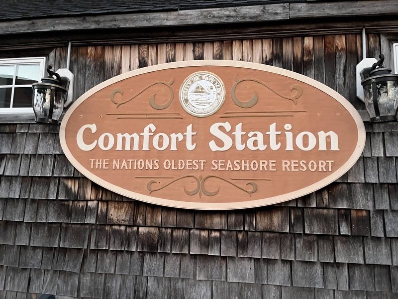
Erected by City of Cape May, New Jersey.
Topics. This historical marker is listed in these topic lists: Parks & Recreational Areas • Settlements & Settlers • Waterways & Vessels. A significant historical year for this entry is 1857.
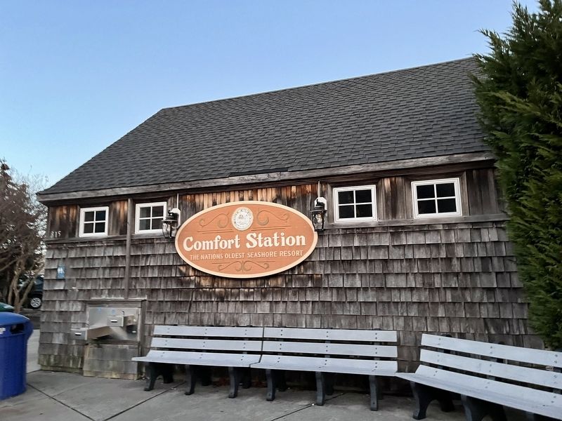
Location. 38° 56.024′ N, 74° 55.3′ W. Marker is in Cape May, New Jersey, in Cape May County. It is on Ocean Street just north of Washington Street, on the right when traveling north. Touch for map. Marker is in this post office area: Cape May NJ 08204, United States of America. Touch for directions.

Regionally, this marker is on the Jersey Shore. It is also in the American Northeast, in the Mid-Atlantic, and on the Eastern Seaboard. Globally, it is in the North Atlantic Region, North America, the Western Hemisphere, the Western World, and the Anglosphere. Historically, it finds itself in what was once New Netherland and also one of the original Thirteen Colonies.
Other nearby markers. At least 8 other markers are within walking distance of this marker: City of Cape May, New Jersey (here, next to this marker); Our Lady Star of the Sea Church
this page online
Credits. This page was last revised on January 25, 2022. It was originally submitted on January 25, 2022, by Devry Becker Jones of Washington, District of Columbia. This page has been viewed 294 times since then and 17 times this year. Photos: 1, 2. submitted on January 25, 2022, by Devry Becker Jones of Washington, District of Columbia.
