Lower Township near Cape May in Cape May County, New Jersey — The American Northeast (Mid-Atlantic)
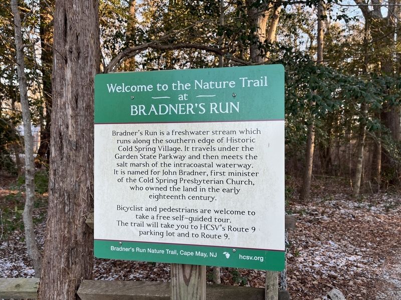
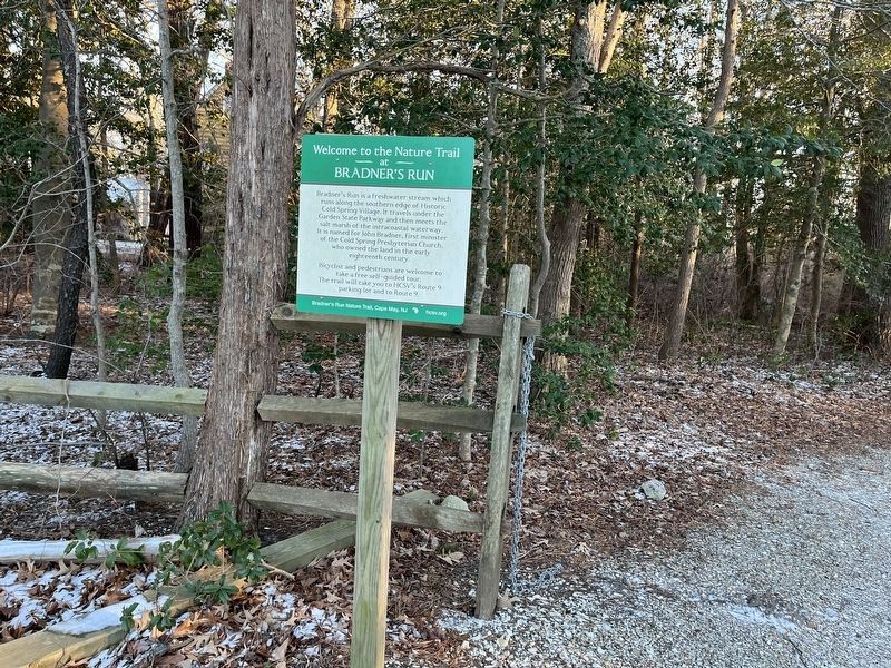
Welcome to the Nature Trail at Bradner's Trail
Bradner's Run Nature Trail, Cape May, NJ

Photographed By Devry Becker Jones (CC0), January 22, 2022
1. Welcome to the Nature Trail at Bradner's Trail Marker
Bradner's Run is a freshwater stream which runs along the southern edge of Historic Cold Spring Village. It travels under the Garden State Parkway and then meets the salt marsh of the intracoastal waterway. It is named for John Bradner, first minister of the Cold Spring Presbyterian Church, who owned the land in the early eighteenth century.
Bicyclist and pedestrians are welcome to take a free self-guided tour. The trail will take you to HCSV's Route 9 parking lot and to Route 9.
Erected by Historic Cold Spring Vilage.
Topics. This historical marker is listed in these topic lists: Churches & Religion • Colonial Era • Settlements & Settlers • Waterways & Vessels.
Location. 38° 58.606′ N, 74° 54.784′ W. Marker is near Cape May, New Jersey, in Cape May County. It is in Lower Township. Marker is on Seashore Road (County Route 626) 0.4 miles north of Academy Road (County Road 639), on the right when traveling north. Touch for map. Marker is at or near this postal address: 735 Seashore Rd, Cape May NJ 08204, United States of America. Touch for directions.
Other nearby markers. At least 8 other markers are within walking distance of this marker. Southern Red Oak (a few steps from this marker); Tulip Poplar (within shouting distance of this marker); Cold Spring Grange Hall (about 300 feet away, measured in a direct line); Pitch Pine (about 400 feet away); Sweetbay Magnolia (about 400 feet away); Southern Arrowwood (about 500 feet away); Historic Cold Spring Village (about 700 feet away); Red Mulberry (about 700 feet away). Touch for a list and map of all markers in Cape May.

Photographed By Devry Becker Jones (CC0), January 22, 2022
2. Welcome to the Nature Trail at Bradner's Trail Marker
Credits. This page was last revised on February 7, 2023. It was originally submitted on January 25, 2022, by Devry Becker Jones of Washington, District of Columbia. This page has been viewed 177 times since then and 19 times this year. Photos: 1, 2. submitted on January 25, 2022, by Devry Becker Jones of Washington, District of Columbia.